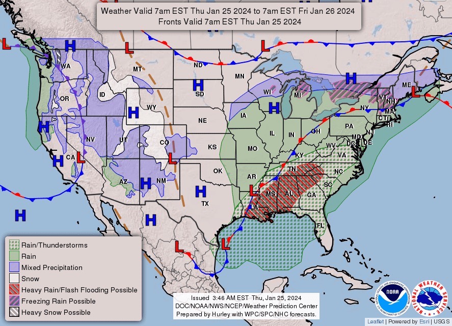
In what has been an unusually warm and dry season, winter could finally be returning to the mountains of Utah.
This past weekend brought a storm to parts of Utah, bringing snow to the Northern Wasatch range. Deer Valley, Canyons, and Park City all received between 5 – 7 inches, while Alta, Snowbird, Brighton, and Solitude each got about a foot of fresh powder.

The storm brought snow to Utah’s southern valleys, the first time since January. On Monday morning, snow reports saw 2-3 inches near Lake Powell, 5 inches at Kanab, 9 inches at Kodachrome Basin Park, and 11 inches in Cedar City. And there’s more to come.
The National Weather Service predicts several inches of fresh snow to settle over northern Utah early Thursday.

Utah has had an unusually warm winter so far. After a 48-day streak of warmer than average temperatures, Salt Lake City finally dropped down to 33°F on Sunday, below the average of 36°F.

Throughout January and the beginning of February, high pressure patterns over the southwest caused high temperatures, but it seems the pattern has finally shifted, bringing cold weather (and snow) back to Utah.


