Powderchasers have reported a long term weather outlook which brings an end to the ridge that has created unseasonably warm temperatures across much of the western US. Yesterday, Washington State broke its previous record for latest date in the year to reach over 70. November 4th, 1949 when it reached 74 degrees in Seattle was the latest date on record prior to this.

The mid-range forecast, which examines a week out, shows a couple of moisture rich storms bearing down on the Pacific Northwest this weekend and through early next week. The precipitation will come in with warm temps and fall as mostly upper elevation snow with rain down below across the Cascades and BC over the weekend before extending into the Sierras early next week. The system will then push its way into the Rockies by midweek and drop some much needed precipitation across Colorado, Idaho, Utah, and Wyoming as well.

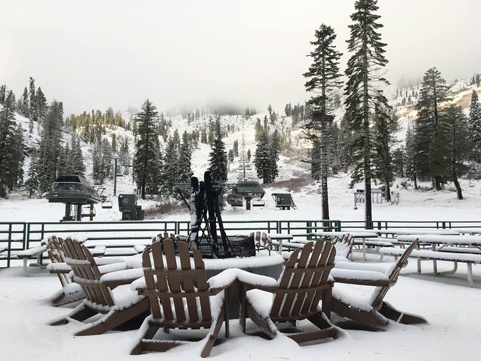
Following up the storms, a trough which will bring some cold air down to the lower 48 of the United States should settle in. This will hopefully bring the first significant low elevation snowfalls should the storms continue to roll along.
You can find Powderchasers full report at Western Pattern Change.


