Sunday, Powderchasers released their update on the impending storms for this coming week. Unfortunately, in most locations, the probability for a good dose of powder has been downgraded. The models are showing a good chance of cold air returning to most of the west come midweek, but the moisture coming off of the Pacific will not be as heavy as expected.

The Cascades will continue to see wet weather through the week with the possibility of snow levels dropping as the cold moves in from the North. The Sierras have been downgraded for snow totals, according to the models, but should still pick up some much needed precipitation come midweek. At the very least, the cold snap will allow some solid gains from snowmaking opportunities.

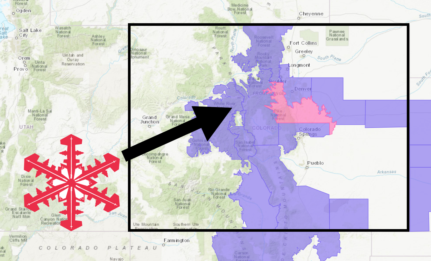
All along the Rockies through Colorado, Idaho, Montana, Utah, Wyoming, and even possibly northern New Mexico, moderate snow is very probable as the Pacific storm pushes west with the cold front settling in from the north. The northern locations appear to have a slightly better chance of picking up quality snow totals but it’s still a tad early to tell.

While next weeks models are still a ways out, the storm cycle appears to be recurring and the precipitation could continue to fall across the west. The temperature model also looks promising for Thanksgiving weekend, but it’s tough to trust the accuracy of such a long range forecast.


