Denver-based meteorologist Chris Tomer is one of the most accurate forecasters we know. Check out and subscribe to his mountain weather forecast videos to see where North America will get the most snow.
“Feet of accumulation 1/31-2/6 PNW/BC/ID/WY/UT/CA with a moderate to strong intensity atmospheric river contribution. Colorado largely stays out of the flow, but the Northern Mountains could see spillover accumulation.
Snow Timeline:
Big Sky: Late 1/31-2/1(L), 2/2-2/5(H)
Wasatch: Late 1/31-2/2(H), 2/5(H)
Tetons: Late 1/31-2/5(H)
Colorado: 1/30(L), 2/5-2/6(M/H)
Interior BC: 1/30(L), 1/31-2/1(H)
Tahoe: PM 1/31-2/2(H), 2/4-2/6(H)
Northeast: PM 1/31(L), 2/2-2/3(L), 2/6(M)”
Here are the main highlights from the forecast, but please check out the full video for a detailed forecast, more resort totals, and support for Chris Tomer.
A significant winter weather pattern is developing across the Western United States, bringing substantial snowfall to many popular ski destinations. This update covers the period from January 30 to February 3, 2025, with some projections extending beyond.
Current Conditions
As of January 30, a low-pressure system is moving through Colorado and New Mexico, primarily affecting areas east and south of Denver. This system is expected to move out into the plains, producing rain and severe weather.
Upcoming Weather Pattern
A major shift in the weather pattern is approaching from the Pacific Northwest. This new system dubbed the “Pineapple Express,” will draw moisture directly from Hawaii, creating an atmospheric river that will significantly impact the West Coast.
Sierra Nevada and California
The Sierra Nevada range, including the Tahoe area, is expected to receive heavy precipitation from late January 31 through February 2. Snow levels will be high (8,000-9,000 ft) initially but lower as the event progresses. Tahoe could see up to 2 feet of snow, while Mammoth might receive 3-5 feet.
Utah and Colorado
The Wasatch range in Utah is trending towards higher snowfall totals, with 10-16 inches expected at resorts like Alta, Snowbird, Solitude, and Brighton. The northern mountains of Utah could see up to 2 feet of snow. Colorado will largely miss the heaviest snow, but the northern mountains (Steamboat, Buffalo Pass, Cameron Pass) might receive 3-5 inches.
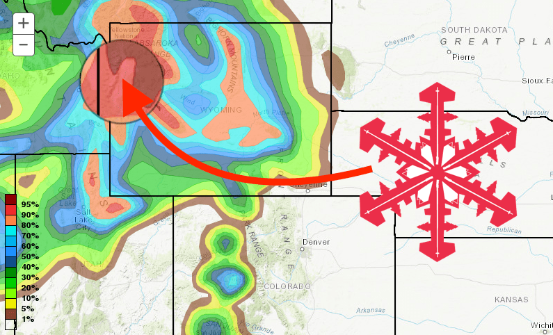
Idaho, Wyoming, and Montana
Idaho and Wyoming are in the bullseye for this storm system. Sun Valley and Brundage in Idaho could see up to 2 feet of snow. The Tetons are expected to receive 24-30 inches through February 3, with more to come. Montana resorts are forecasted to get 10-12 inches.
Pacific Northwest and British Columbia
From Whistler down to Mt. Bachelor, the Pacific Northwest is set for significant snowfall. Interior British Columbia resorts like Revelstoke and Kicking Horse could see around 16 inches, while Fernie might reach a foot.
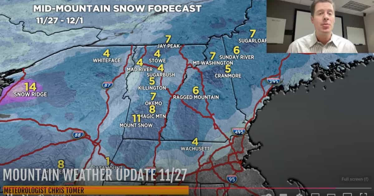
Northeast
The Northeast will see lighter snow amounts compared to the West. Vermont, New Hampshire, and Maine can expect 2-6 inches through February.