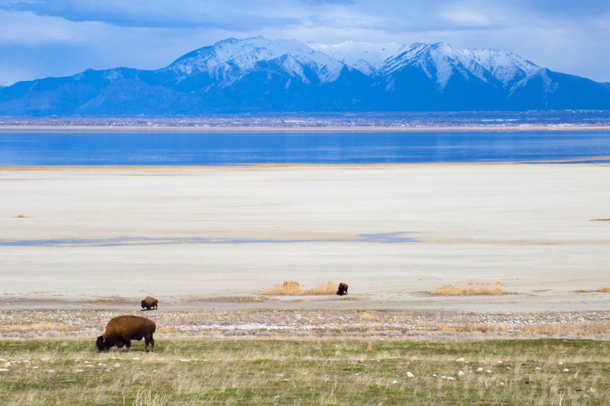
NASA recently released two satellite images, taken five years apart, of the Great Salt lake in Utah. Major signs of decreased water levels are evident. It’s no surprise that water levels are down in large part because of the significant droughts that the American West has seen these past five years, but droughts are a part of the climate and not uncommon.
The Great Salt Lake is very unique in being a terminal basin, a lake that has tributaries but no outlets other than evaporation. In a paper published by Wayne Wurtsbaugh and his colleagues, it was found that the three major tributaries- the Bear, Jordan, and Weber rivers- have had a 39 percent reduction in water flow to the lake since the mid 19th century. Since this same time, the lake’s volume of water has shrunk by 48 percent and lowered the lake level by 11 feet.
“Farmington Bay has been nearly desiccated as the result of the combined effects of drought and water withdrawals from the rivers feeding the lake. Farmington Bay is an immensely important feeding area for migratory shorebirds and waterfowl. Even at the low level we have now, it is still important, but the greatly reduced size has diminished its value.”
–Wayne Wurtsbaugh, Student of Watershed Sciences at Utah State University

A couple of the most significant sources for diverting the river water come from public water districts outsourcing water to the major cities along the Wasatch Front, but more heavily the agriculture that is sustained from Utah to southern Idaho and Wyoming creating irrigation for their crops along the major rivers. The city population has been doing its part to conserve their water, reducing per person usage by 18 percent.
While this is a very hefty amount of water, urban and suburban usage makes up only 8 percent of Utah’s total water usage and unfortunately the population is growing which means more water will be used overall. The agricultural sector, which uses 63 percent of the total water, has not made any cutbacks on water usage. Convincing farmers to conserve will be the largest challenge in reducing water diversion from the rivers so it might feed back to the Great Salt Lake instead.
Furthermore, development of the largest tributary to the Great Salt Lake is under scrutiny. The Bear River has long been a focus for opportunity of water development since studies began in the 1950’s. It has been known as “Utah’s last untapped river” and recently has gathered some renewed attention, since the recent drought and water shortage, as a place to build damns for municipal water sources.
“We must be willing to make decisions now that preserve Great Salt Lake’s benefits and mitigate its negative impacts into the coming centuries.”
–Wayne Wurtsbaugh, Student of Watershed Sciences at Utah State University

Utah has already experienced some of the impacts, beyond water shortage, of a lower lake level on the Salt Lake. Dust storm activity has increased and become more drastic due to larger shoreline and exposed sediment across the lake. Some of the major industries that utilize the Salt Lake are under serious threat as well. Wurtsbaugh paper notes that should the lake continue to dry up, the brine shrimp and waterfowl will all but disappear and it will become more difficult to harvest brine and other minerals from the lake.
The brine shrimp make up a $57 million industry while water fowl are hunted for food and sport, which creates a $70 million tourist industry for Utah. To top that off, Morton harvests a large portion of their salt from the Salt Lake and should it go dry, it will have a devastating affect on their industry and the jobs that it creates.