It was late March in Oregon, and I had already mowed my lawn three times this spring. I was checking the extended ski forecast (as I do multiple times a day) and noticed a lot of forecasted snow with cold temperatures in it. “Pow day on Tuesday!” I texted my ski buddies.
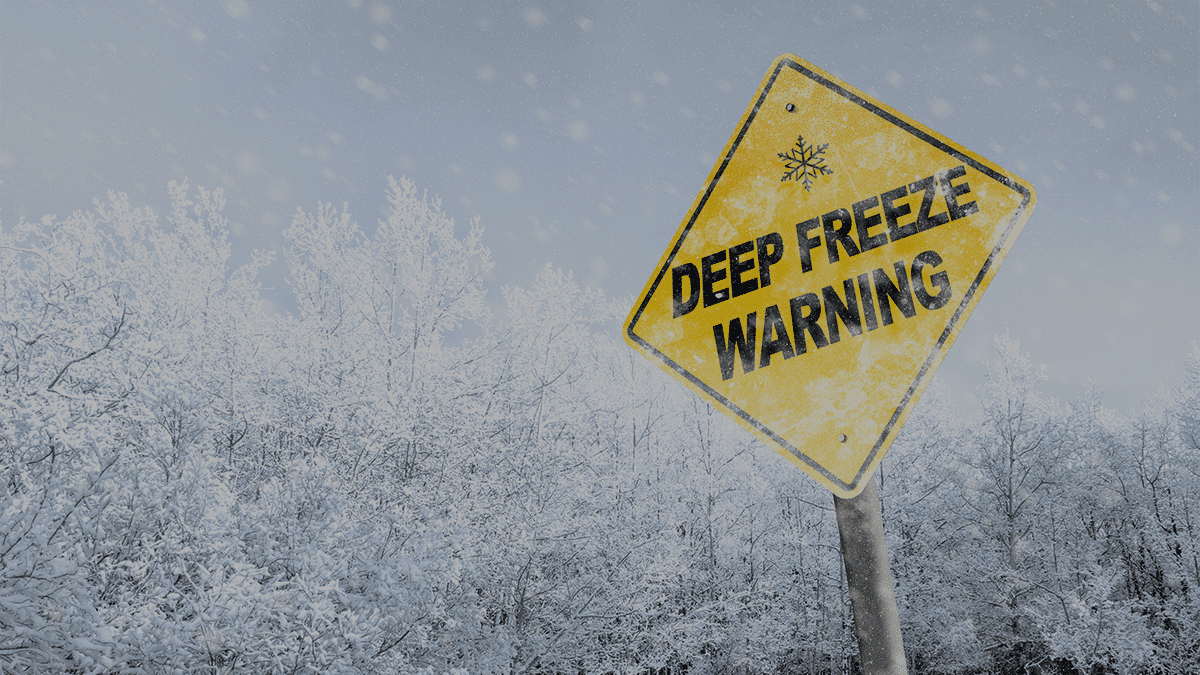
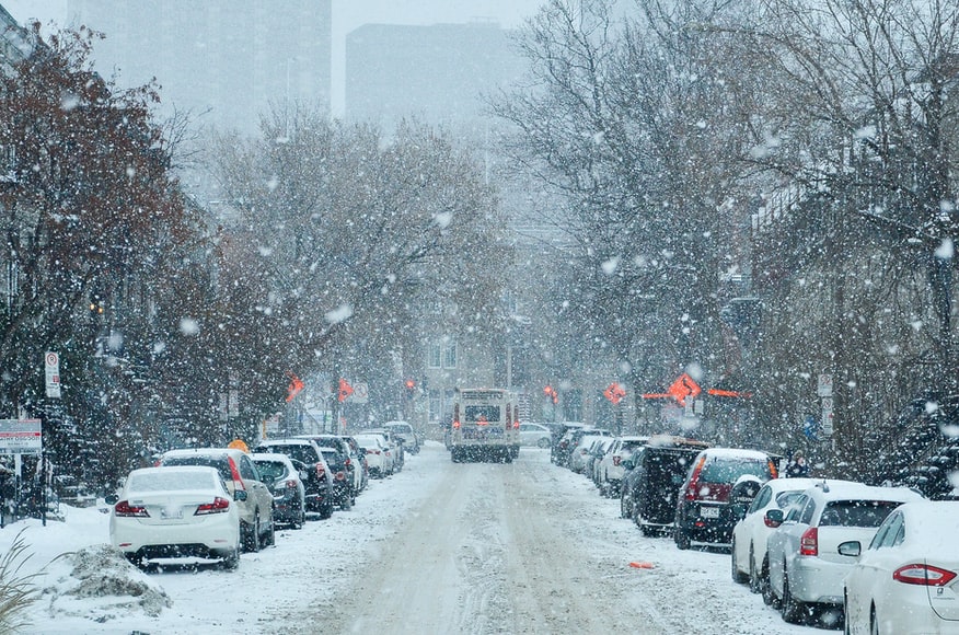
It’s not uncommon for the mountains in Oregon and Washington to get a snowstorm in April that drops a foot or more of new snow, but this system would prove to be much more than that. For about a two-week period, the temperatures in the lowlands and mountains looked more like mid-winter than April.
The low elevation city of Seattle averages only 4.6 inches of snow per year, while Portland averages just 2.6 inches. This usually falls between December and February and occasionally March, but never in April. In fact, the city of Portland recorded its first snowfall in the month of April ever on April 11th this year.

The low temperatures set daily and even monthly records all across the Pacific Northwest.
And wow, the skiing was fantastic! Over six feet of snow fell on Mt. Hood. At one point they were reporting 63 inches in five days, and I was there to ski it. Knee deep one day, waist-deep the next, and it was blower!
Whenever an extraordinary weather event like this happens, people often point to climate change as the reason. I’m not so sure this was the case with this storm. The season forecast was for a La Nina year, which is typically colder and wetter than normal, however, a mid-winter dry spell had many thinking this season was a big disappointment. This recent weather system was brought on by a very deep low-pressure system that carried a lot of moisture. Maybe La Nina just arrived a little late?
Either way, the mountains sure needed it, the skiers loved it, and I’m sure the farmers will appreciate it as well.


