Report from December 31, 2023
Yesterday I decided to go for a long walk and try a scary, steep line that I knew was going to hold bad, wind-hammered snow.
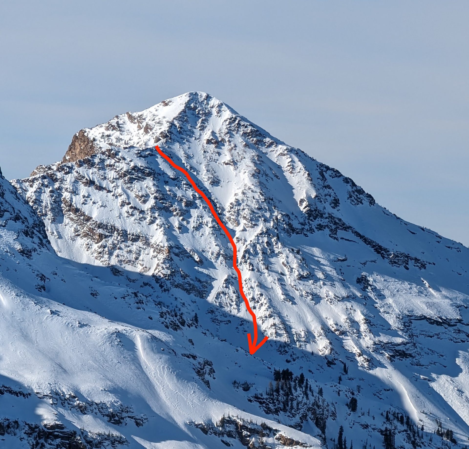
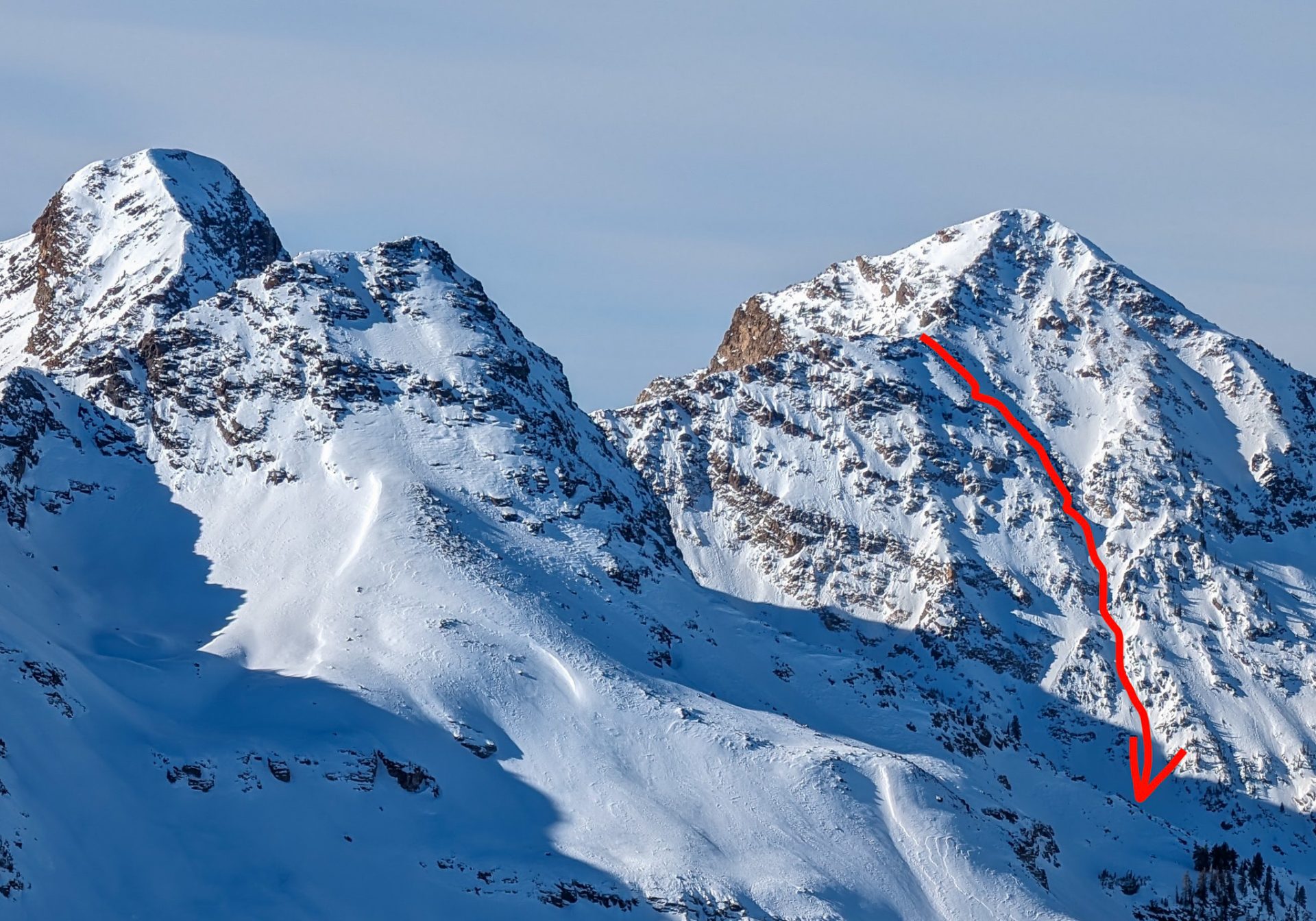
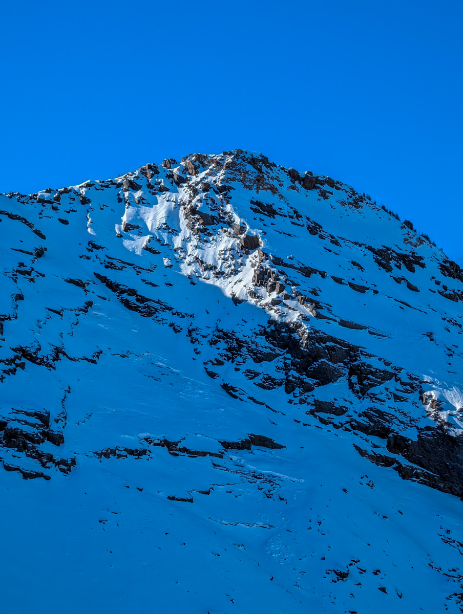
I’d seen the east couloir of 11,303′ Twin Peaks (Broads Fork, Twin Peaks East) from Cardiac Ridge on December 15, 2023, and it looked skiable.
It had just enough snow.
You couldn’t do the traditional and famous east face as it was too rocky, but the east couloir variation was in.
East Couloir – 11,303 Twin Peaks
Wasatch Mountains, UT
- Summit (actually a ridgeline): 11,000′
- Car: 6,200′
- Vertical From Car: 4,800′ to top of chute, 5,300′ including bonus sunny pow lap
- Vertical skied: 2,500′ (1,500′ in chute/apron + 1,000′ sunny pow lap)
- Max Pitch: 45+º
- Average Pitch: ??º
- Aspect: ENE
- Distance: 10-miles round trip
- Time From Car to Summit: 4 hours & 30 minutes
- Car to Car Time: 7 hours & 30 minutes
- Recommended Equipment: crampons, ice axe x2, skins, ascent plates (mini snow-shoes)
Up at 5am.
Out the door by 6am.
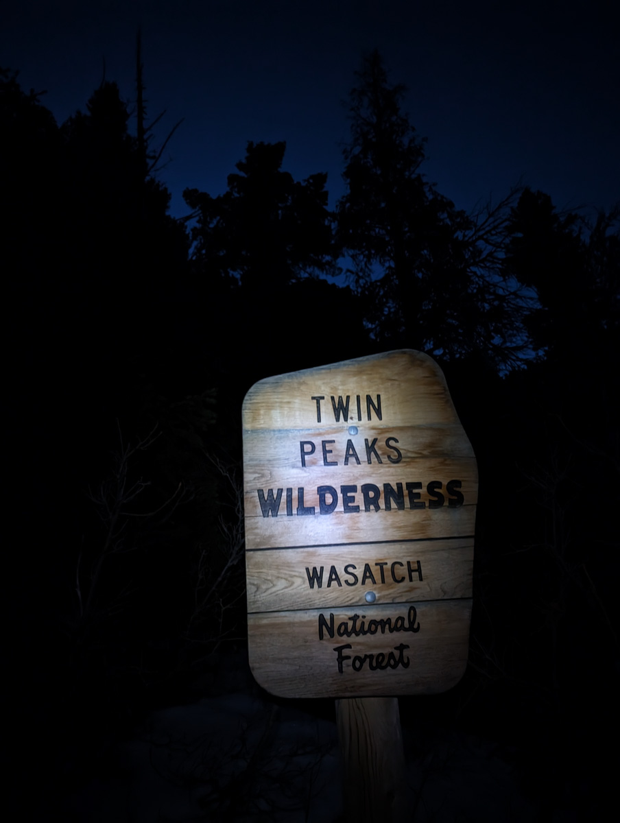
Hiking by headlamp at 6:45am.
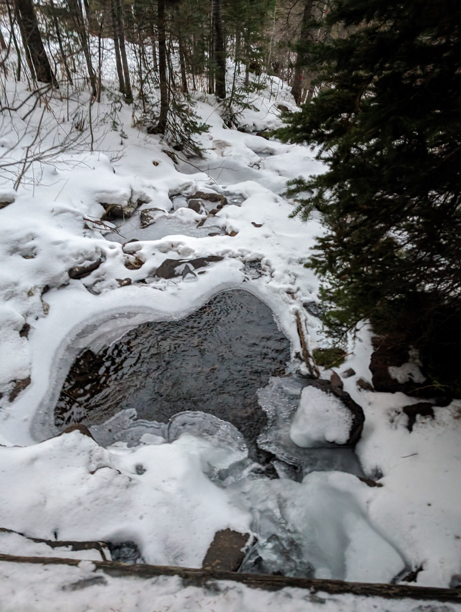
Hiking on dirt, I should say…
I had agonized all night about whether to hike up Tanners Gultch then drop into Big Cottonwood Canyon (BCC) and waddle up the east couloir from there or just do the full flat slog up from BCC…
I was alone so I didn’t have the opportunity to shuttle a car and I wasn’t confident in Uber nor hitchhiking on the biggest holiday weekend of the year.
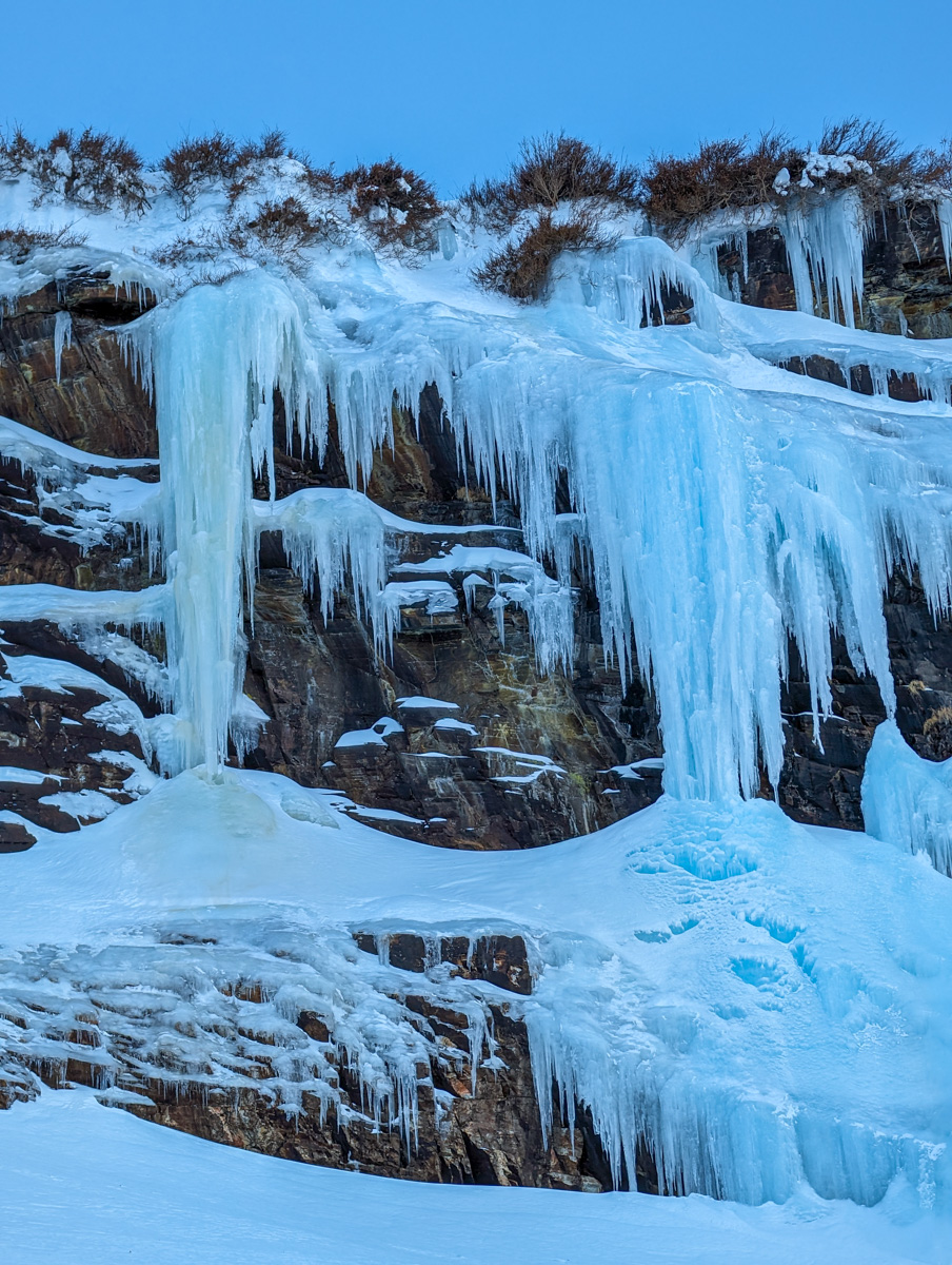
I noticed that the idea of skiing down to a carless trailhead was giving me more anxiety than the reality of the long flat slog.
BCC it was.
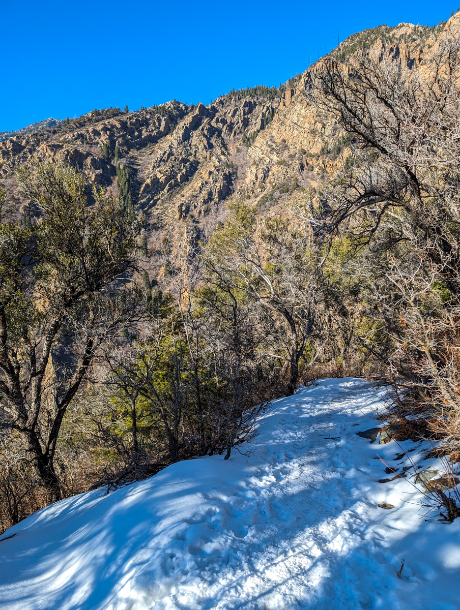
I started the hike in ski boots on all dirt.
“Damn, I made the wrong call,” I said out loud to myself.
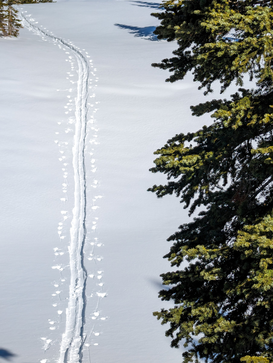
After 40 minutes of dirt slogging, I finally put on my skis and started skiing up the well-worn path.
After 1 hour and 40 minutes, I finally got into the mountains and out of the confinement of the canyon forests.

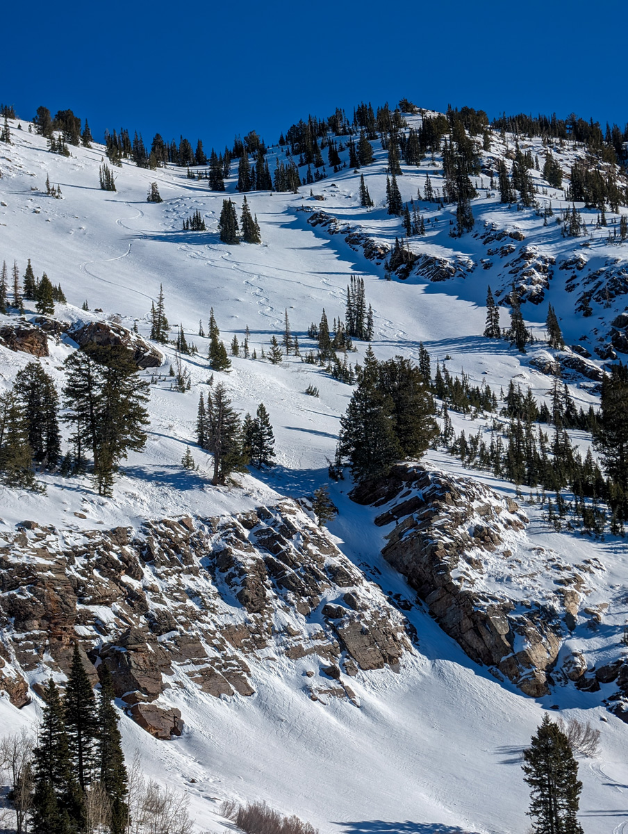
I saw quite a few powdery-looking runs that I wanted to ski in the lower canyon.
I nearly pulled an audible and skied one of them…
I told myself that I’d just go around the corner and have a look at Twin Peaks then come back for the pow.
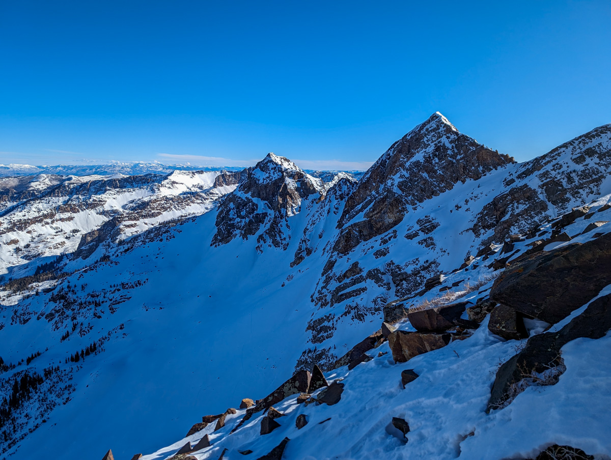
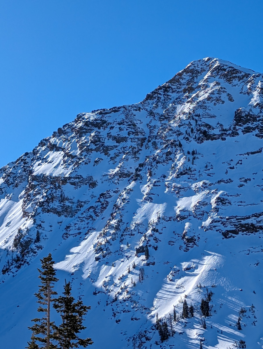
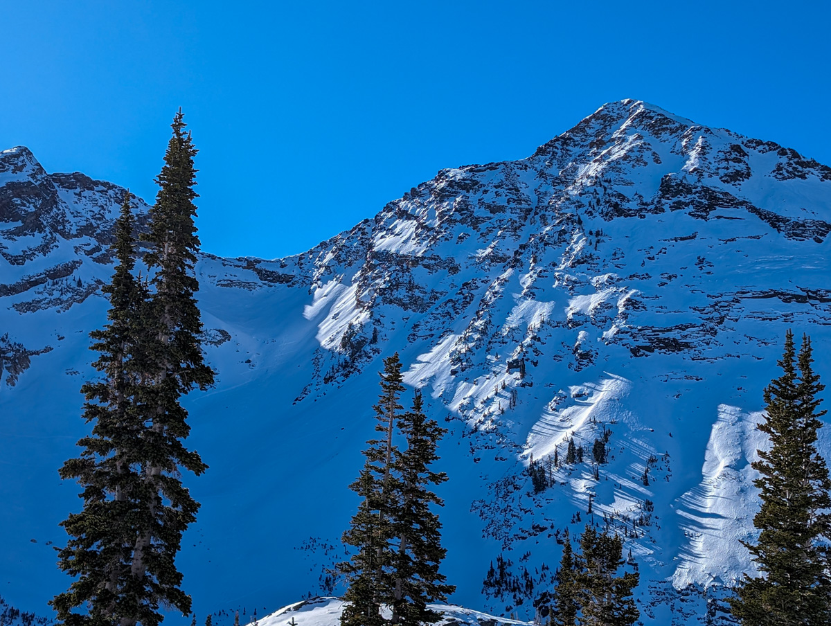
Of course, once I saw Twin Peaks, I was enraptured.
And scared…
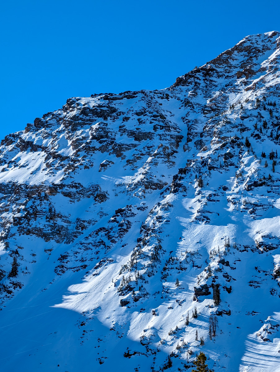
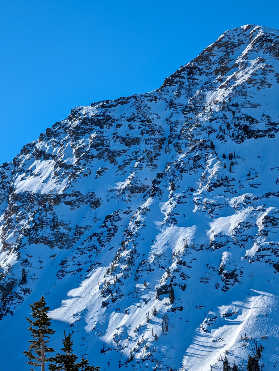
It looked complicated and boney in that chute.
It was difficult to find congruency between what I’d seen from Cardiac Ridge 14 days earlier and what was before me.
I double-checked all my photos, maps, and calculations and everything lined up.
I continued up.
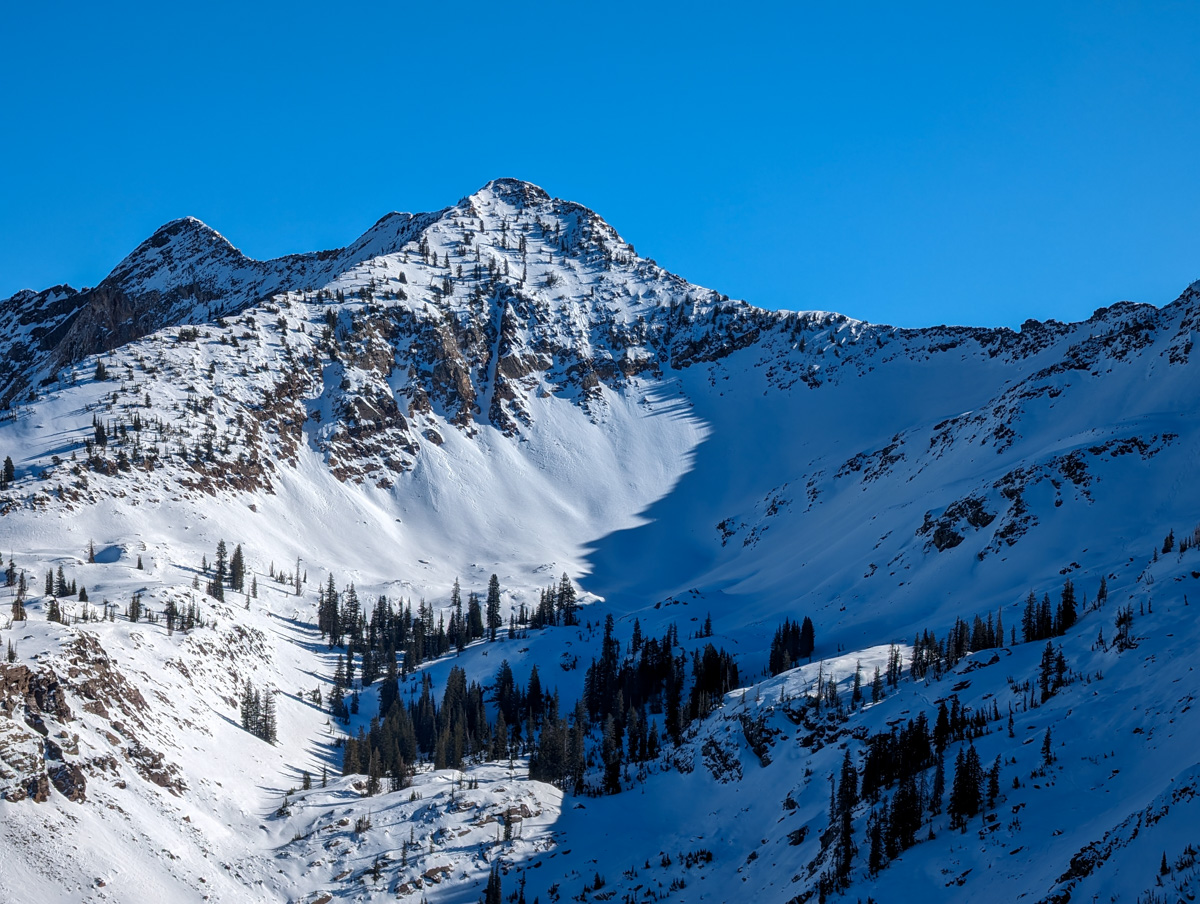
I skinned up as high as I could – nearly to the mouth of the chute.
From there I chose my ascent plates (Billy Goat brand that you clip to your crampons) and started digging uphill.
The snow was brutal.
Breakable crust, firm neve, corrugated “powder”, and just hard snow on the whole.
Those snow conditions combined with the 45+ degree steepness had me on edge.
Fear.
I felt it flow through me.
I chose all my steps carefully and continually looked downhill to gauge what it would be like to be on skis on this snow at this angle.
There were 2 points where the steepness and snow firmness nearly breached my comfort zone and turned me around.
A third of the way up the chute the snow got even harder and I took the ascent plates off and continued in just crampons.
I topped out in the chute much sooner than anticipated – which made me happy.
There was also a very nice flat rock to transition on that gave me peace.

My heart rate slowed, my mind calmed, and I sank into the view.
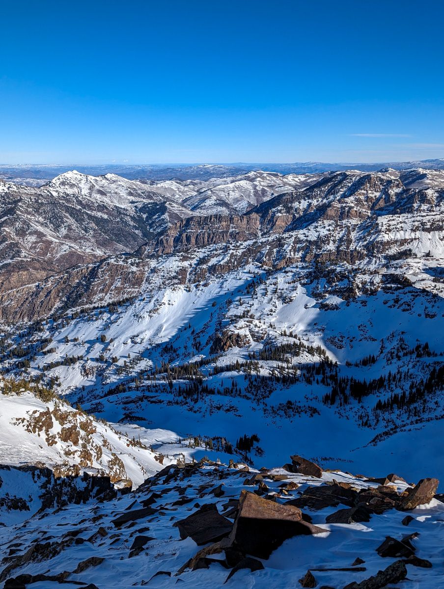
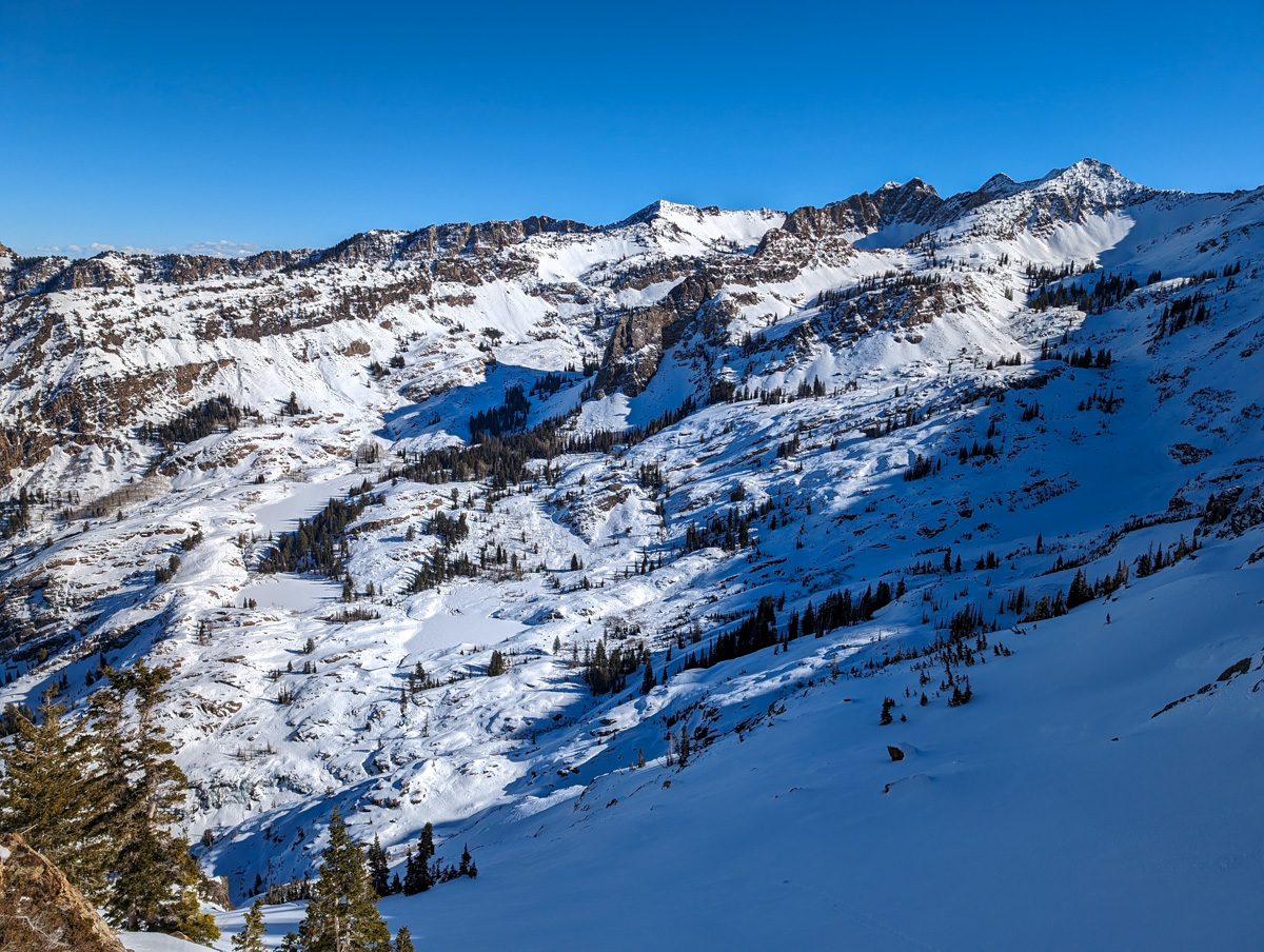
It was a view like I’ve never seen in the Wasatch.
Frozen lakes, sharp peaks, wide open river valleys – it felt like the High Sierra.
Time to ski.
I psyched myself back up and repeated, “Ski slow, full control, no speed.”
It was key that every turn exhibited full control.

This entire chute was a no-fall-zone.
If you fell in here, you were going to get hurt or worse.
It would be difficult to impossible to arrest a fall in that hard snow and you’d likely end up sliding over a cliff or three.
Focus.

Excitement.
Calm.
The first turns weren’t bad.
Softish snow on firm.
Then it got firm, then punchy, then firm again, then punchy, repeat.
The skiing was exhausting.
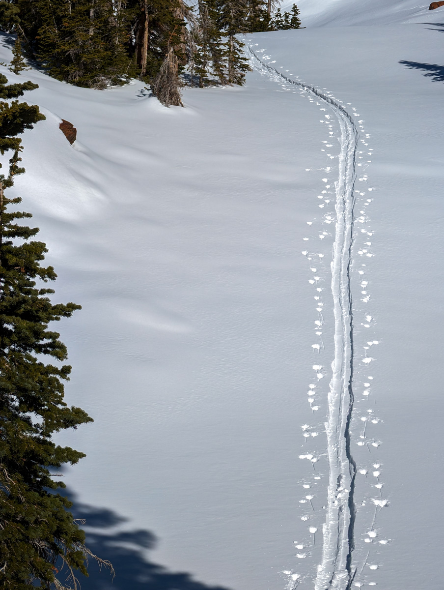
The apron held soft, recrystallized powder and my legs were able to relax.
My mind delved into pure joy.
I glided to a stop in the flats and ripped off a high-pitched “yeeeewwww!”
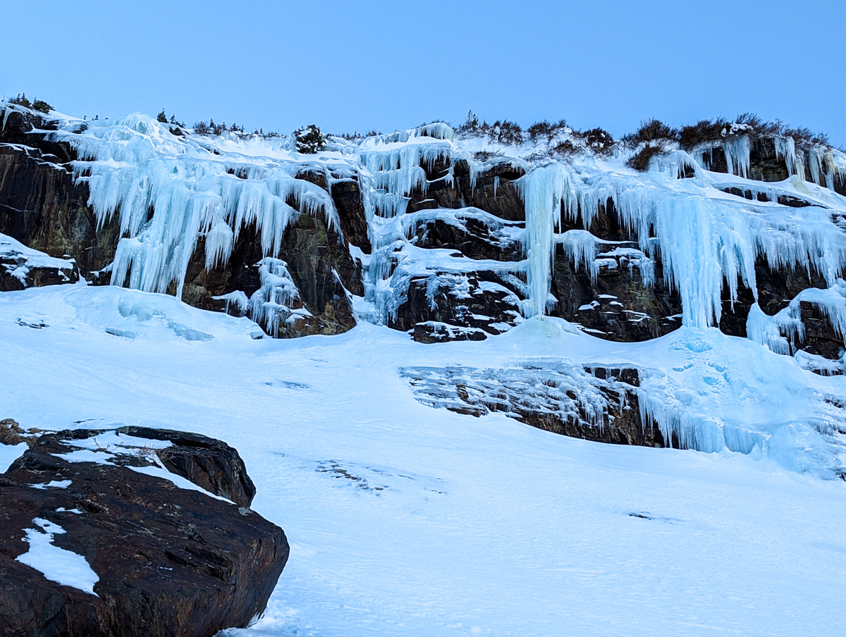
It felt very good to be in the flats.
From there I followed a traversing skin track that ascended another 500′ or so to a wide open powder bowl in the sunshine.
The perfect way to end my day.
At the bottom of the 2nd run, I reentered the canyon the engaged survival skiing mode.
Survival skiing in bad snow and bushes right until there wasn’t enough snow left to ski.
I put the skis on my pack and ground through the 30-minute down hike to the car.
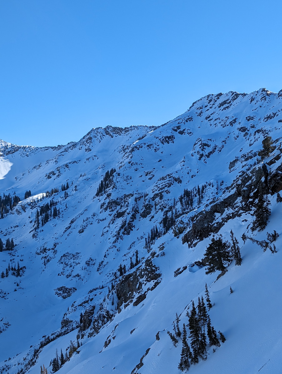
There’s not much worse than downhiking in ski boots but it went relatively quickly and harmlessly.
I enjoyed a big smile and a sit down on the tailgate of my car and reveled in the day as cars buzzed past me and the SLC smog wafted through my nose.
Notes:
- SLC had an air quality index of 151 – unhealthy for all groups – as I drove home…
- I did not see any signs of snowpack instability besides older avalanches in NE facing terrain on rock slabs lower in the canyon at around 10,000′ elevation
Thanks, Utah!
Photos in Chronological Order
