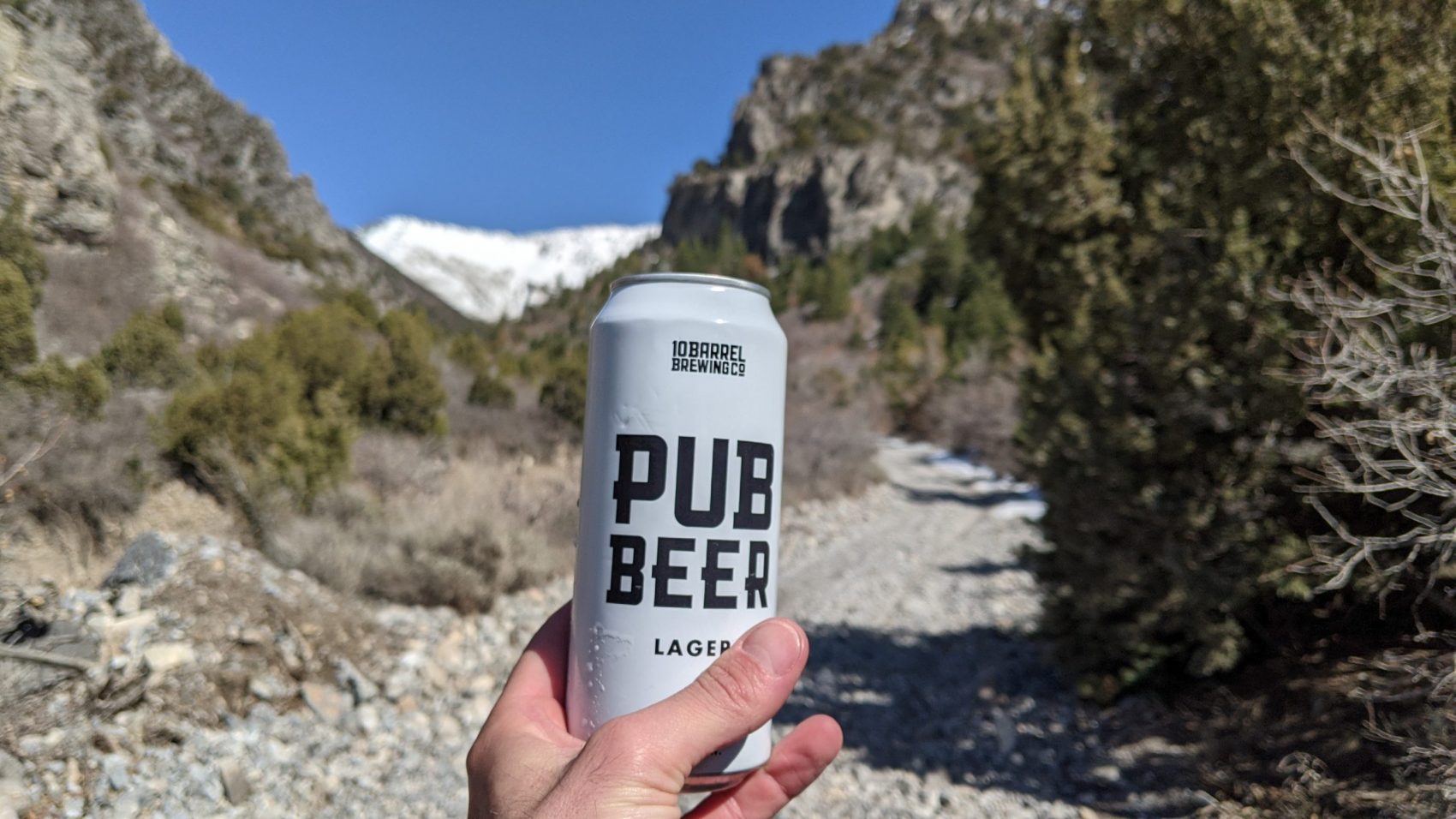
Brought to you by 10 Barrel Brewing
Report From March 31, 2021
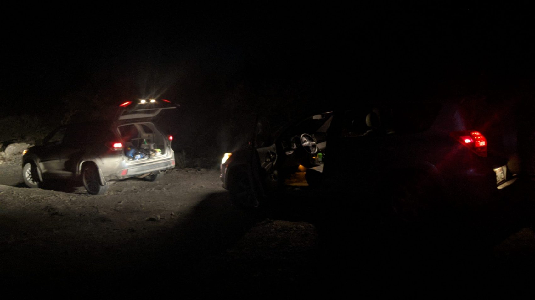
By 4am yesterday, March 31, 2021, we were barreling down the highway streaking south through the desert night.
Mt. Timpanogos flew by drenched in moonlight, striation, and fear.
The roads were empty and eerie.
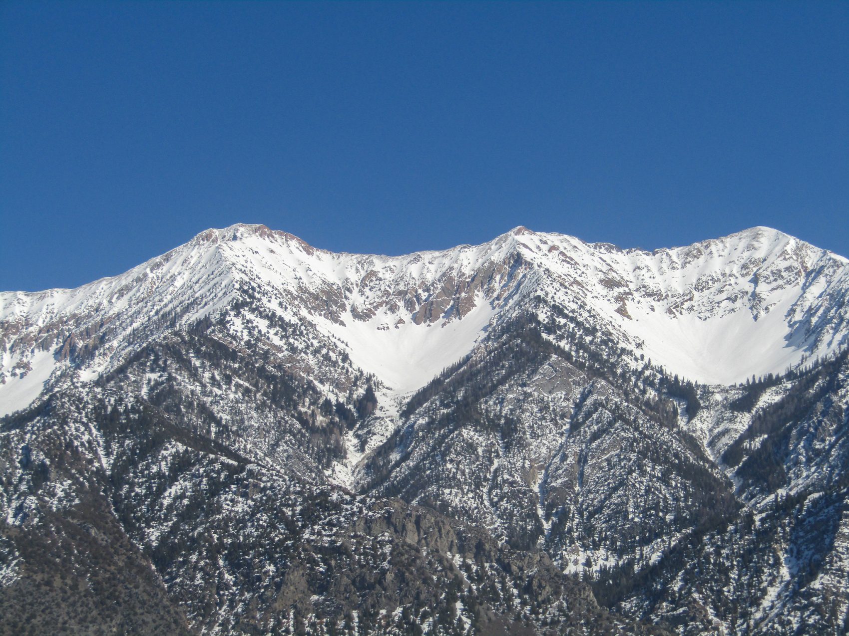
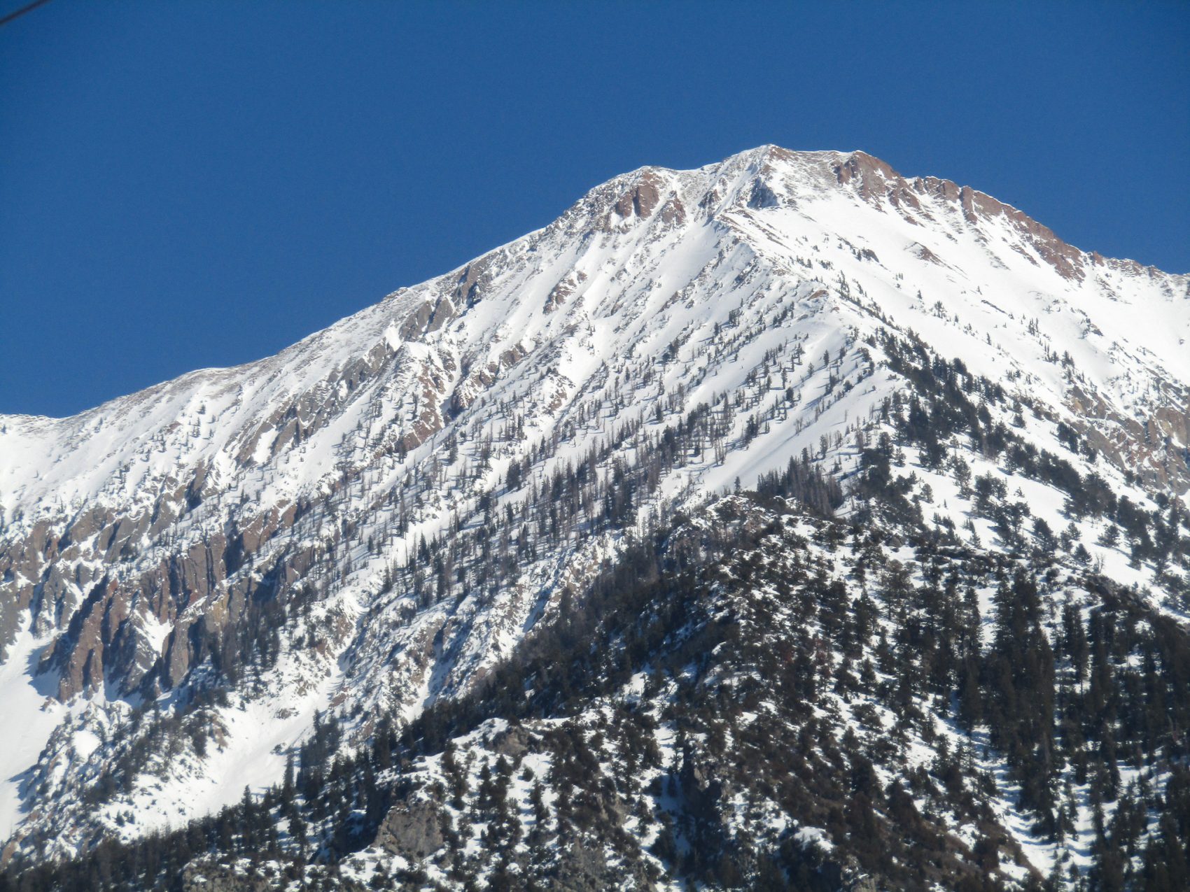
Our objective was the tallest mountain in the Wasatch Range – 11,929′ Mt. Nebo, UT.
Nebo resides in the middle of nowhere, so that’s where we were headed.
Mt. Nebo in Jordan is where Moses first laid eyes on the promised land.
We had no idea what Mt. Nebo in Utah was to promise us but I have to admit… I was afraid.
The steep, dark, rugged 4-wheel-drive road ripped the cobwebs from our minds and forced focus.
We hit snow, tires spun, and we left the comfort of the car for the unknown.
It was time to climb.
Northwest Couloir – Mt. Nebo – Wasatch Range, UT:
- Summit: 11,929′
- Car: 6,000′
- Vertical From Car: 5,900′
- Vertical skied: 5,900′
- Max Pitch: 50º
- Aspect: NW
- Distance: 9-miles round trip
- Time From Car to Summit: 6 hrs
- Car to Car Time: 9 hrs
- Recommended Equipment: crampons, ice axe, skins (It’s a good idea to bring a rope, harness, and some gear to set up a rappel to get into the chute – the top of the chute approaches 60º and is above a lot of exposure)
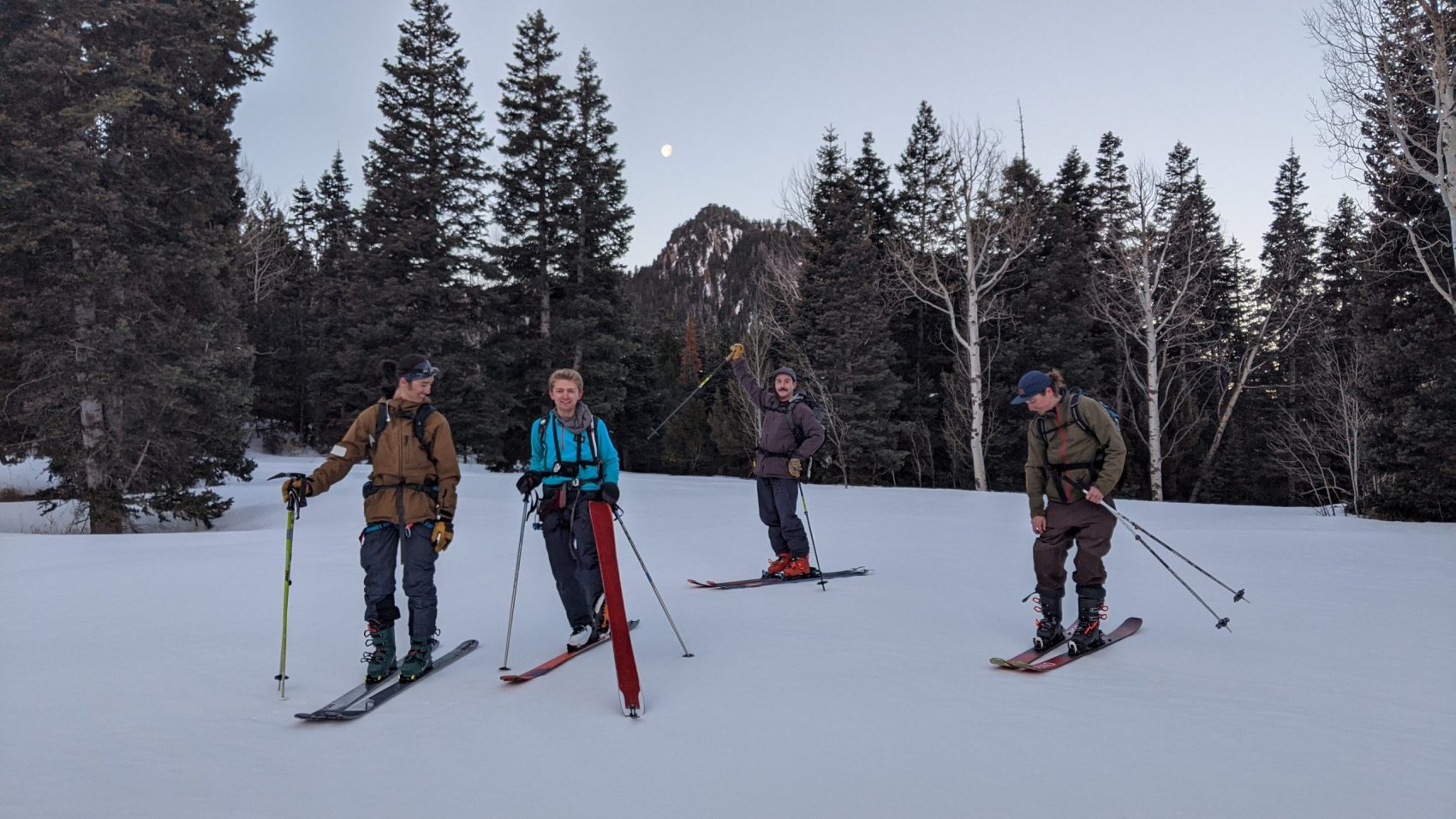
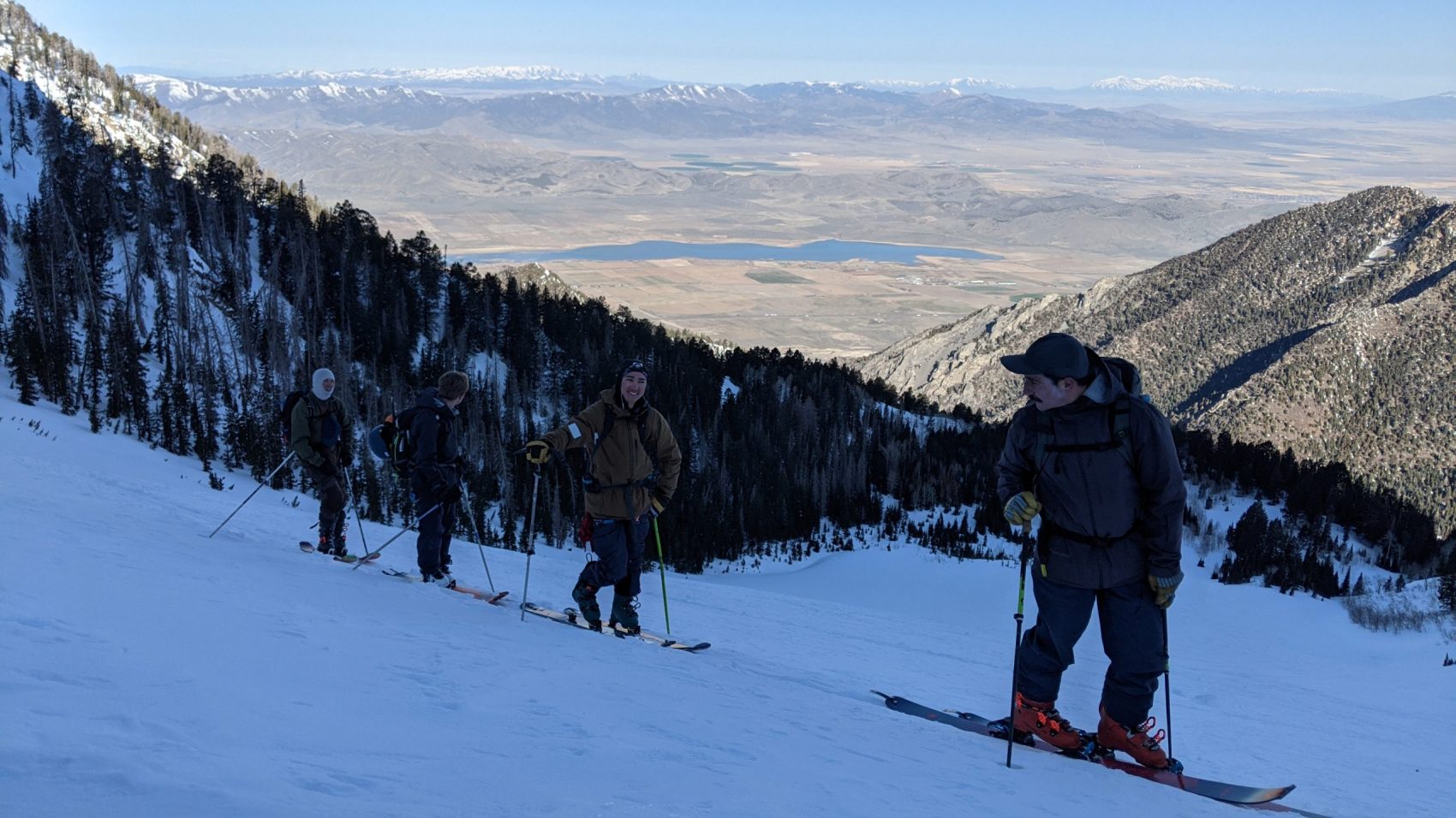
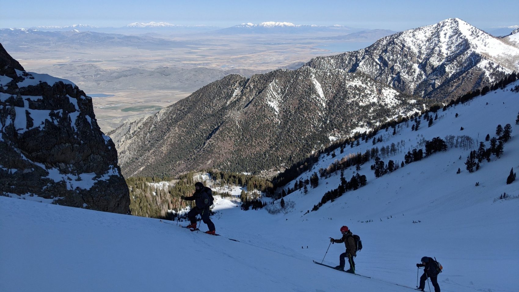
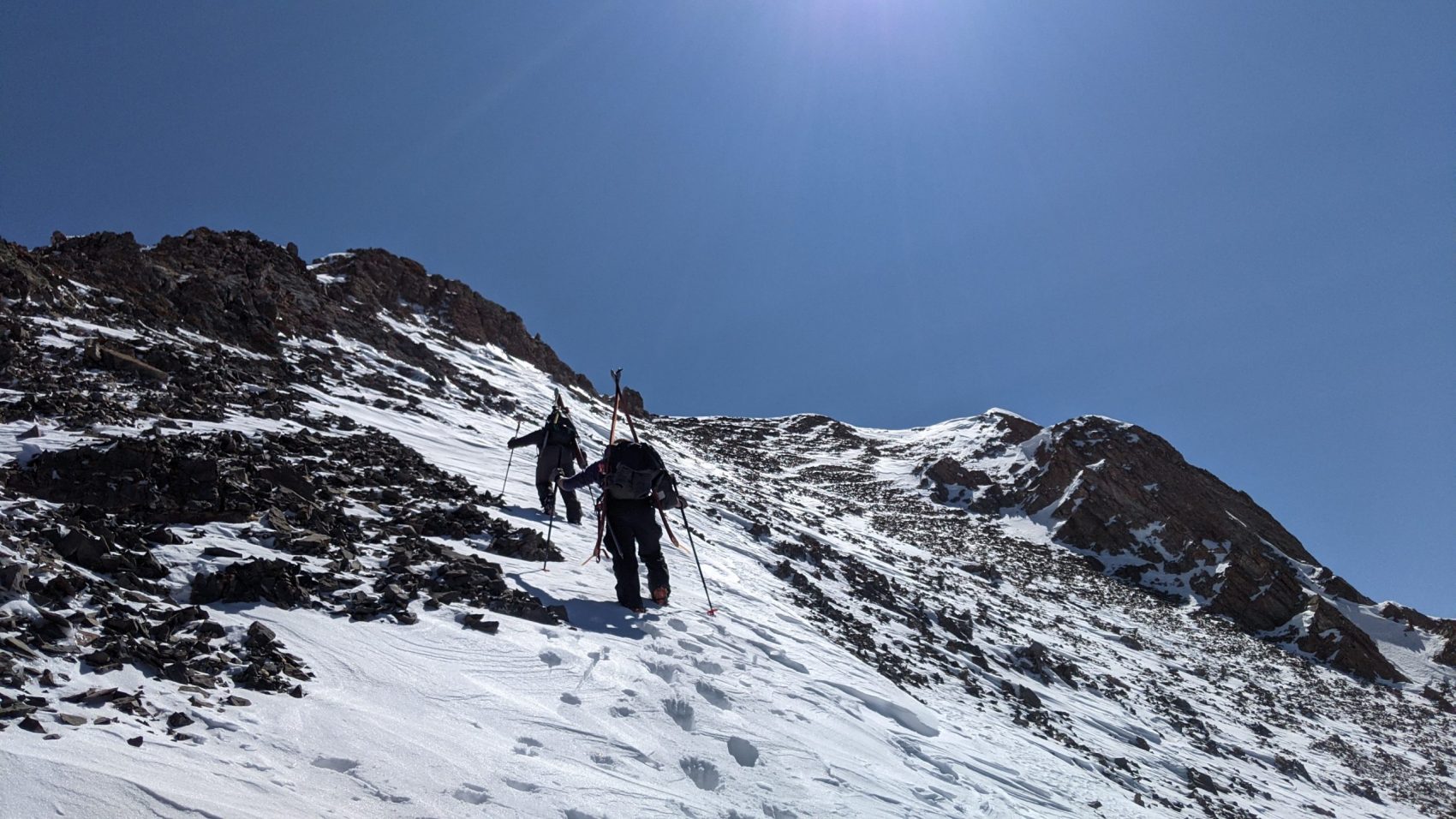
After a long skin up a snowy road by headlamp, we cut right and threaded upwards through the thickening trees.
We hit a flat spot, then more steep trees before flattening out again with a view of the summit.
The sun hadn’t illuminated our side of the range yet – not by a long shot.
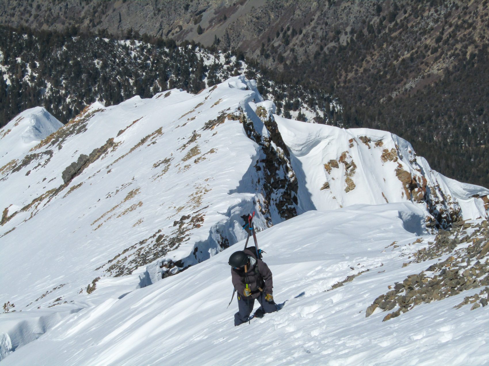
The apron seemed endless…
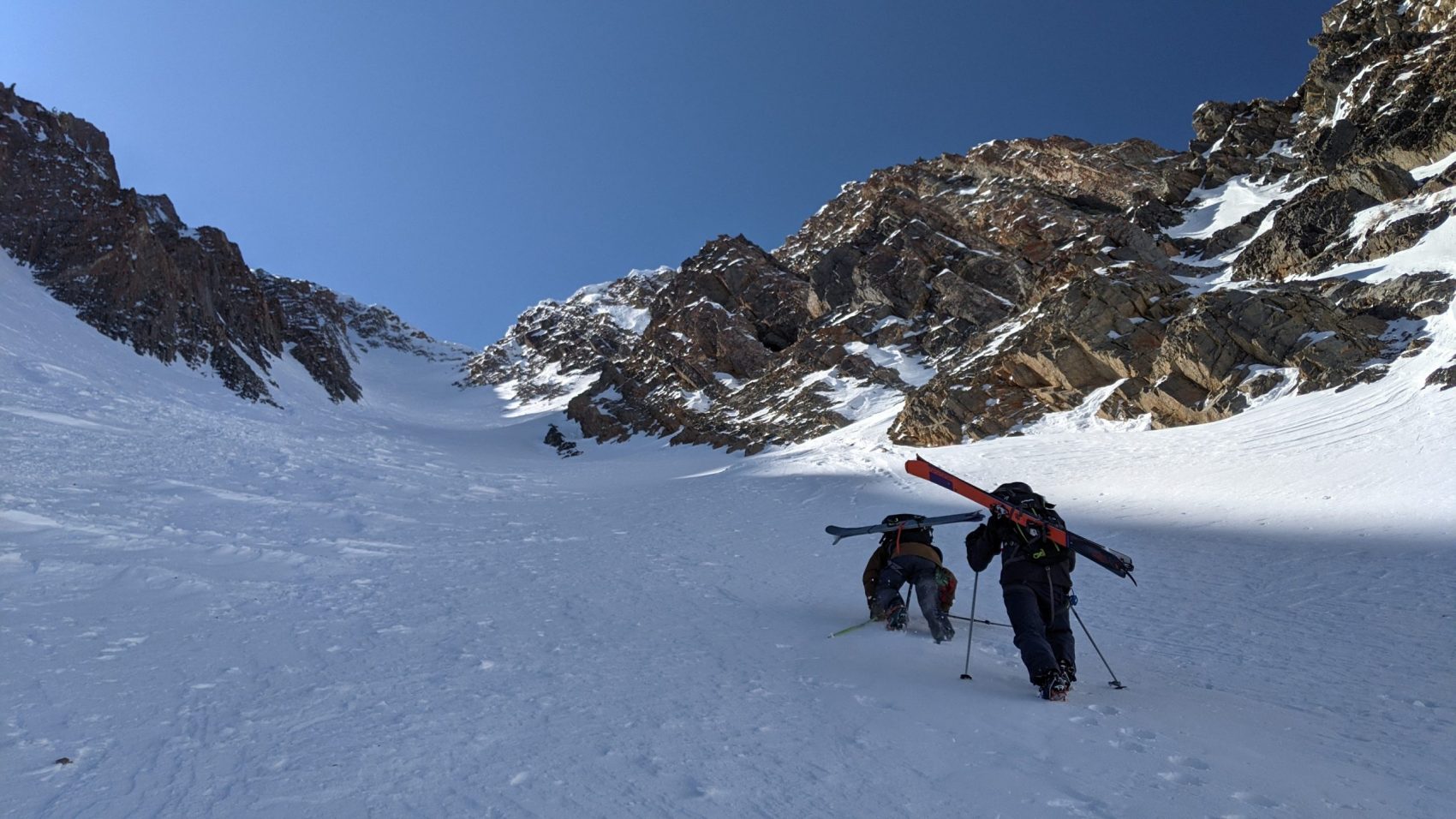
After 40 switchbacks, we were finally in the Northwest Couloir.
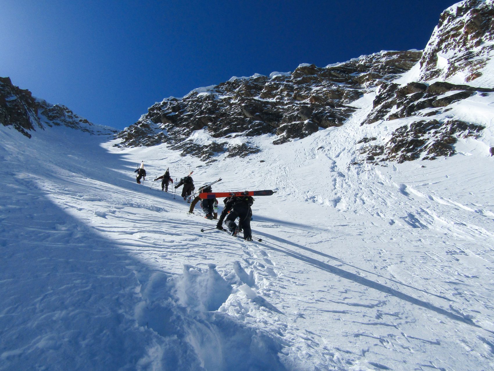
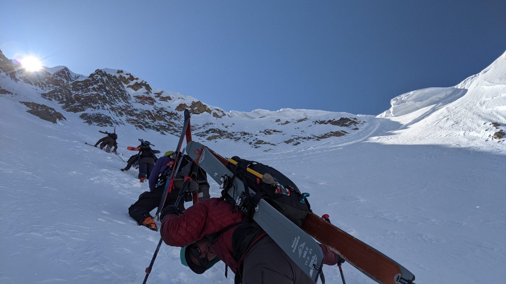
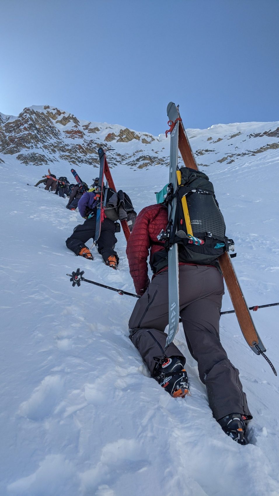
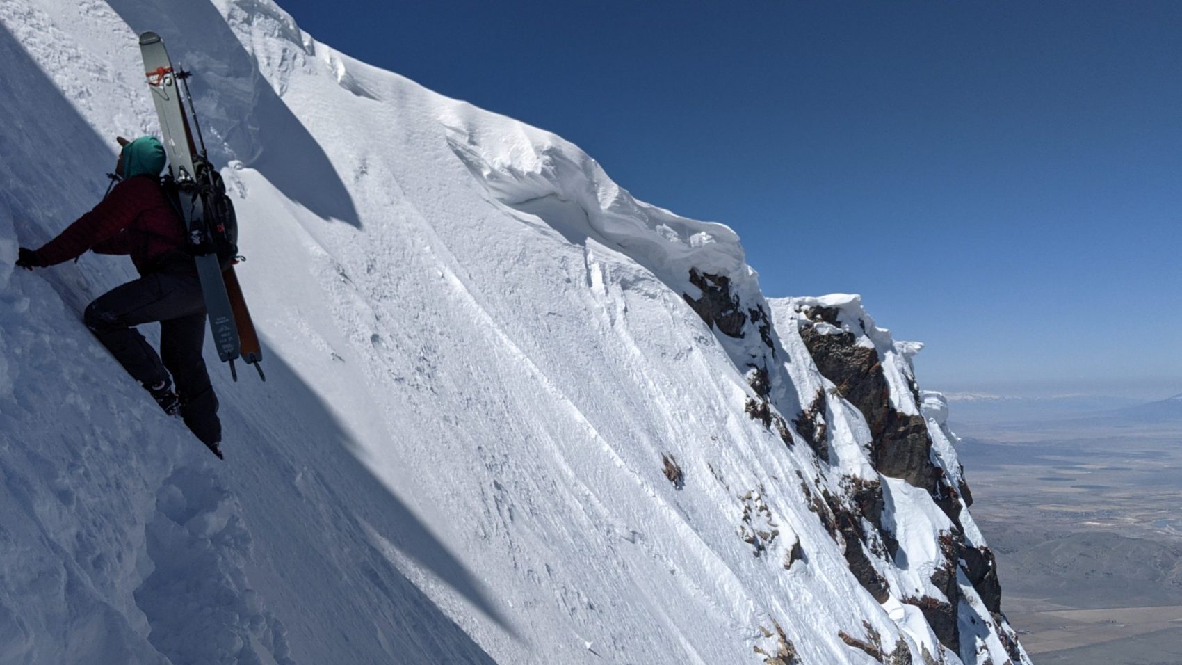
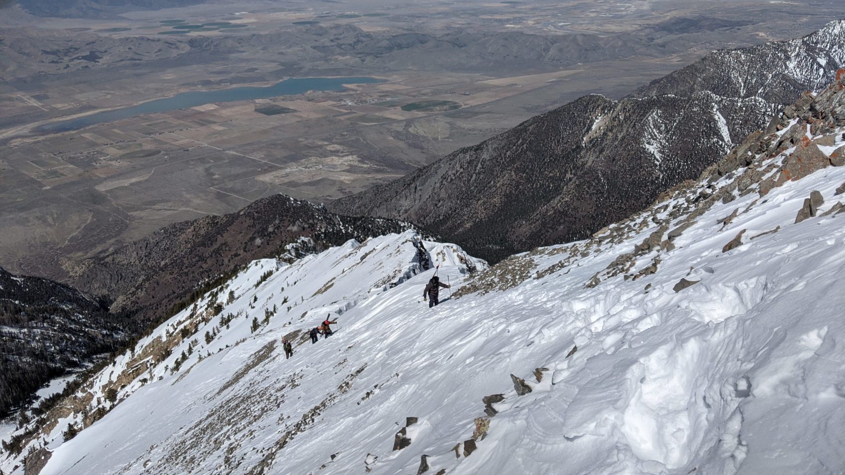
20 more switchbacks brought us to the boot-pack.
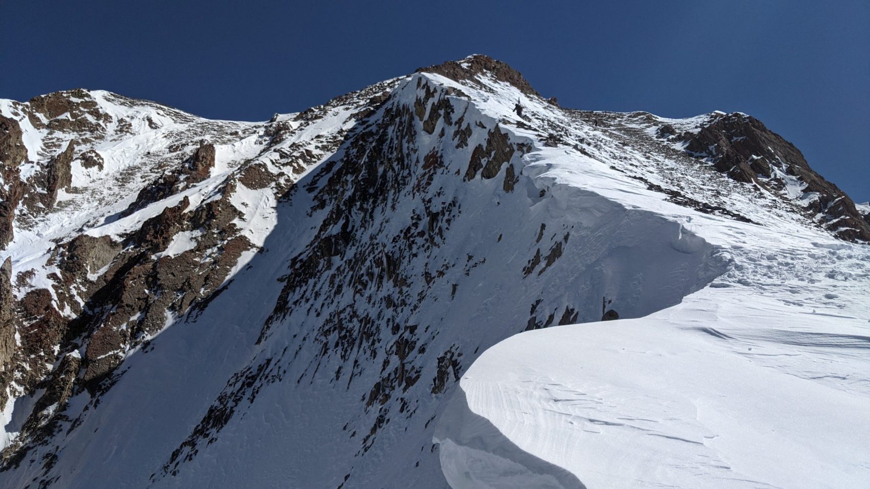
We pounded the boot-pack into breakable crust, wind-board, and unconsolidated snow.
It was brutal and took all 5 of us plus 2 great guys we met – Carl & Grant – to put the boot-pack in.
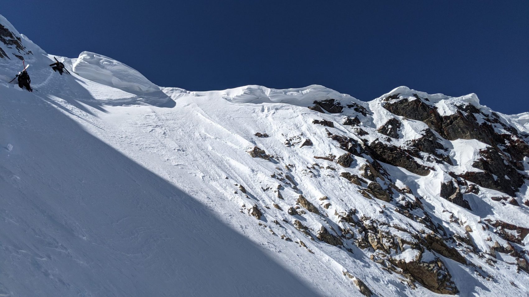
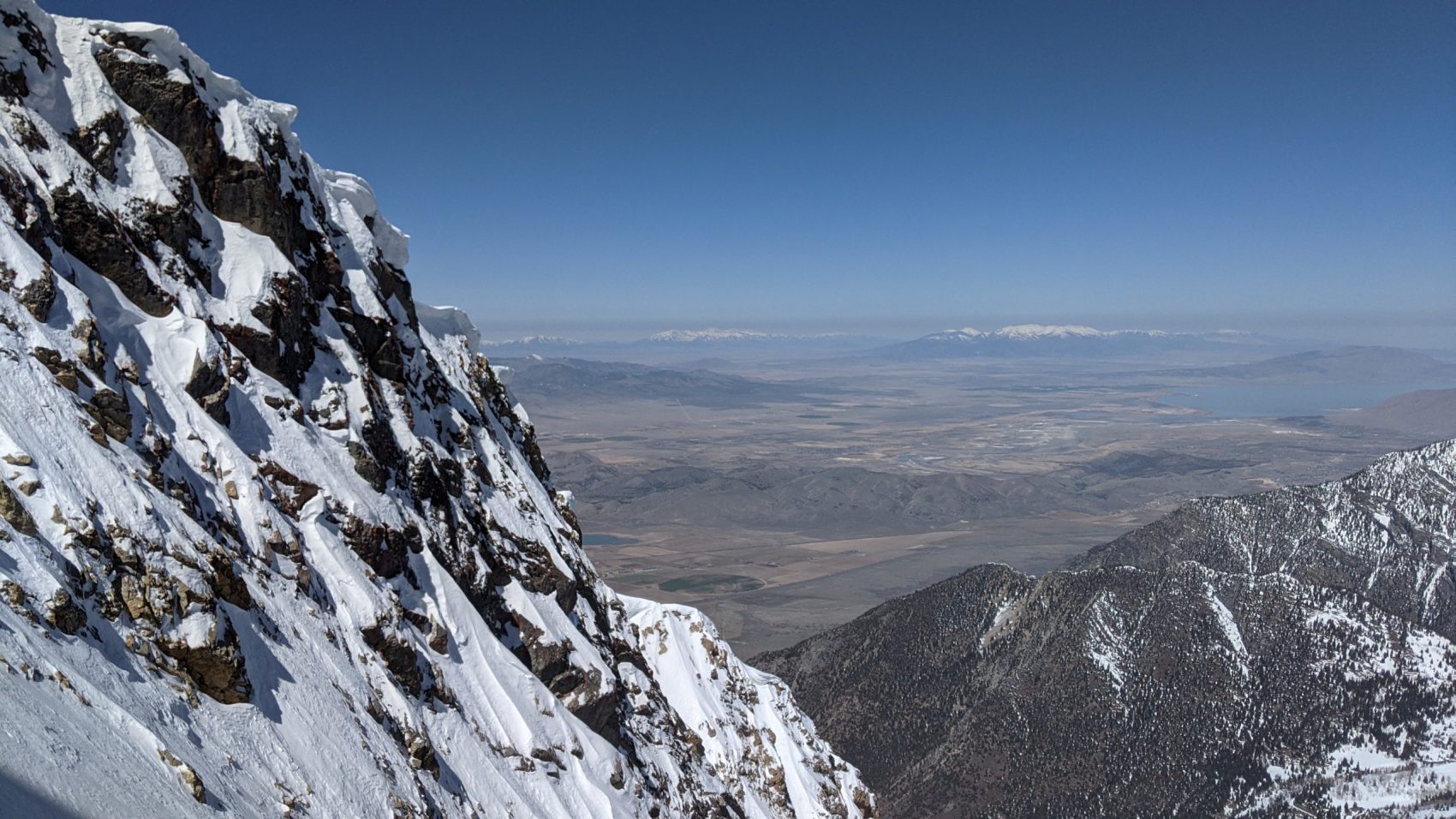
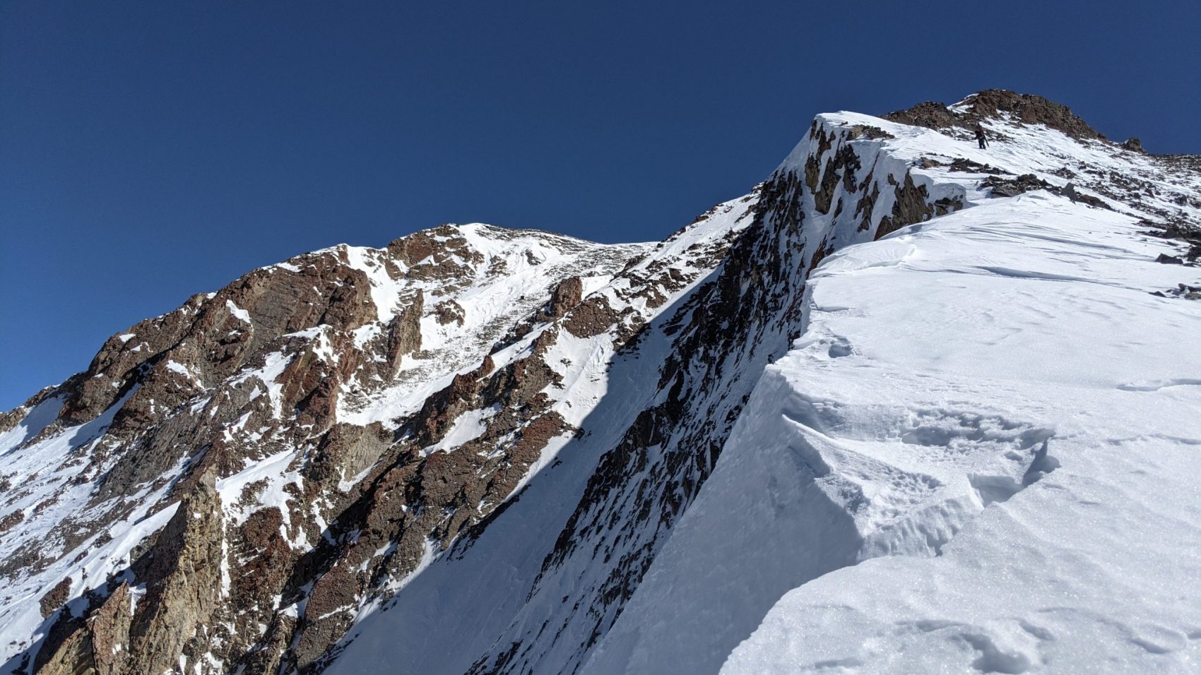
The final pitch was steep (60º), short, and right against a small cornice.
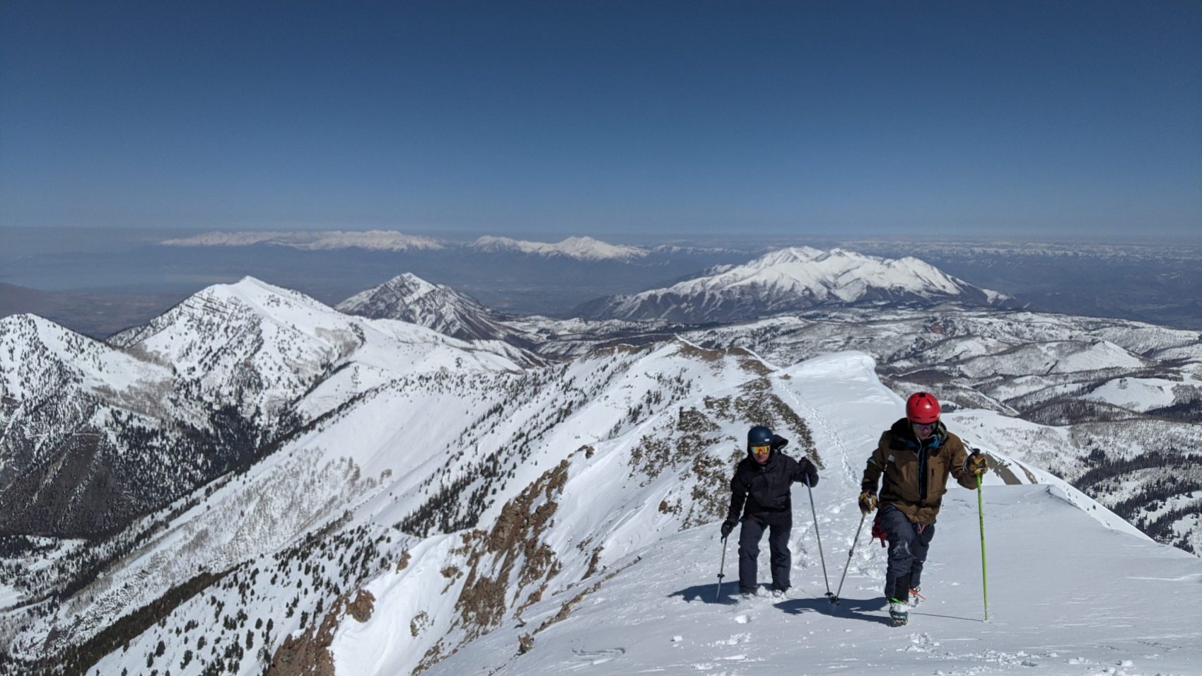
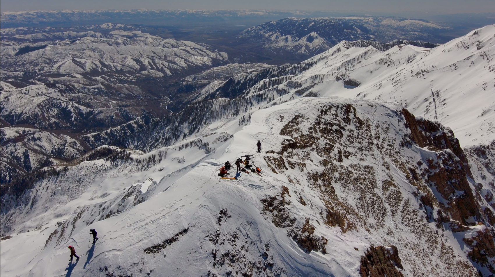
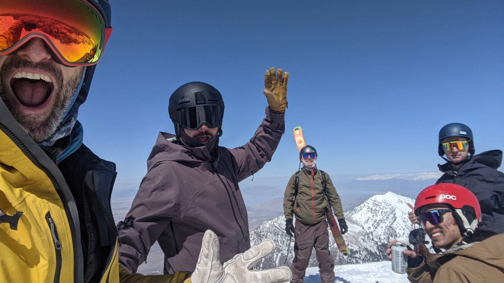
Topping out into the sunshine felt immaculate.
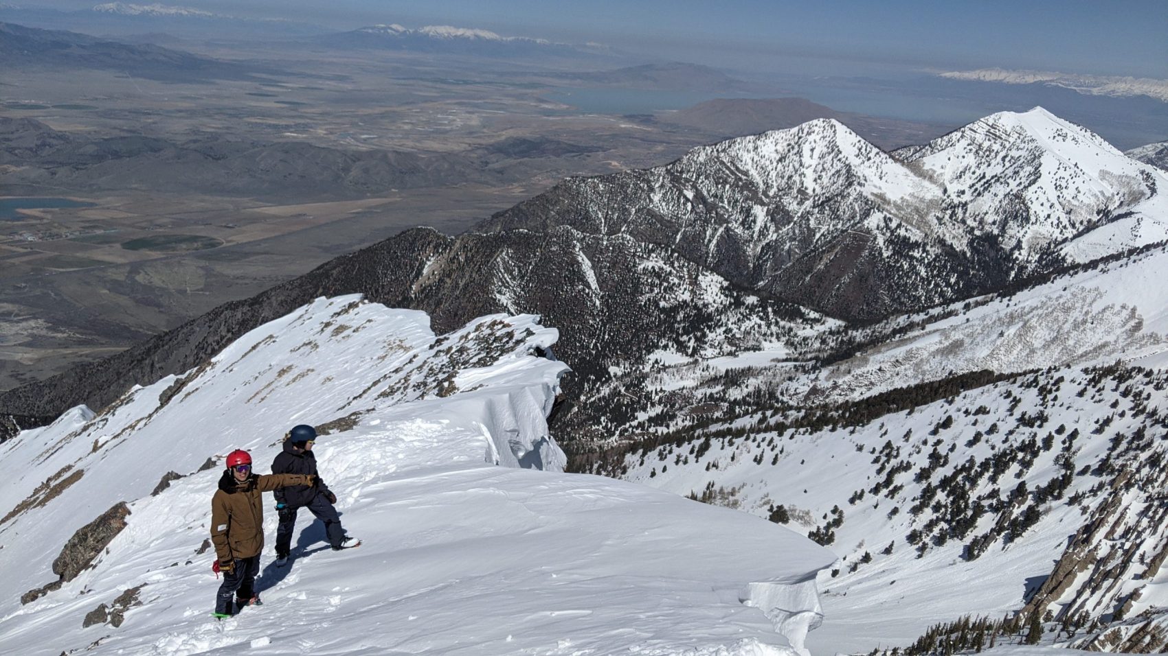
The summit was another 300-vertical-feet to our North over wind-swept rock and snow.
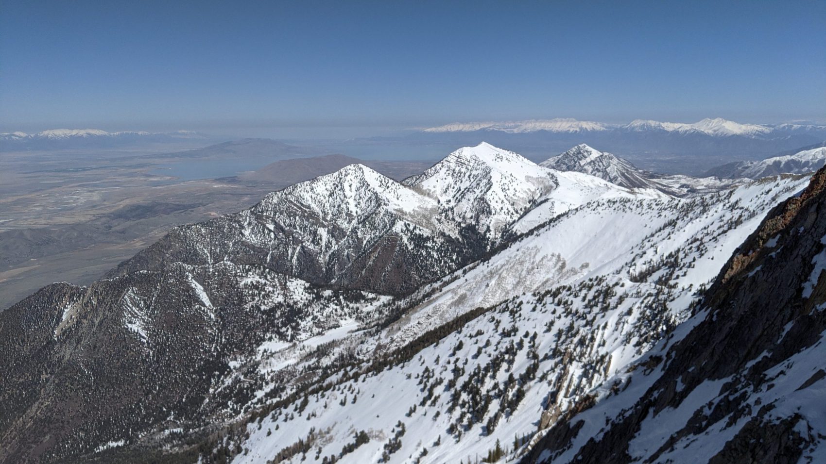
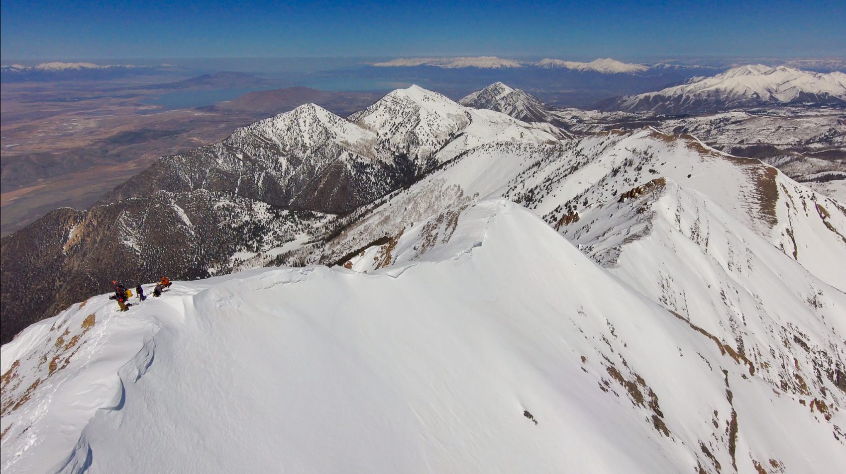
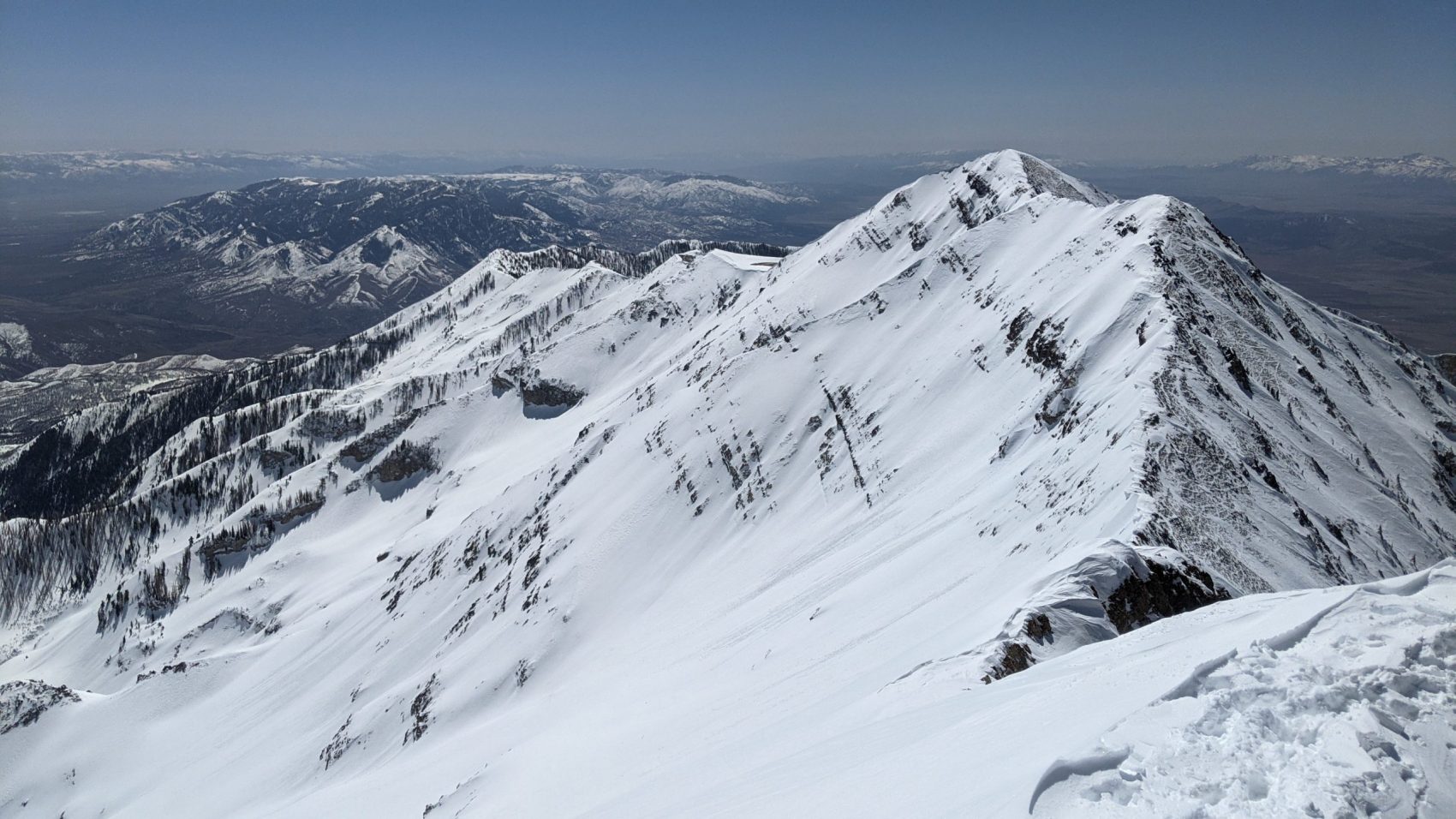
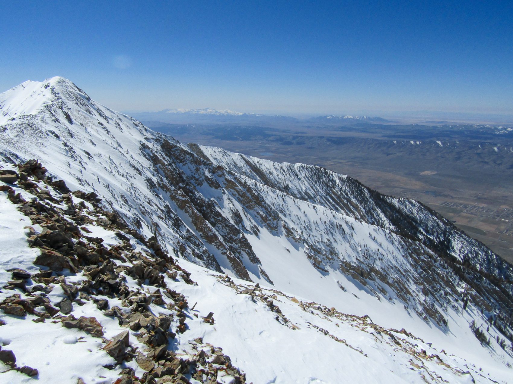
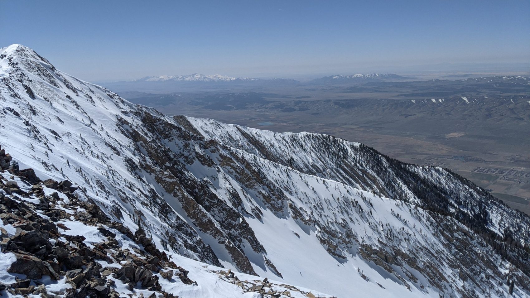
The view from the top was unforgettable.
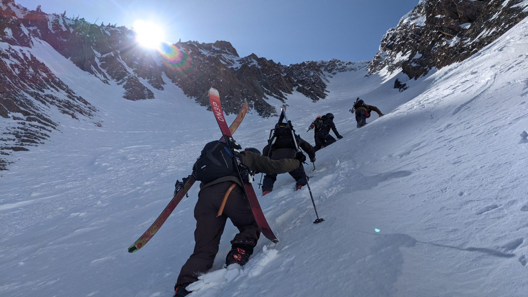
Deep desert to the west, jagged canyons to the east, and massive mountain islands to the north.
We were sacred on top as we weren’t sure if we could make the steep drop nor the downclimb back into the Northwest Couloir.
Some of our group as well as Carl and Grant decided to ski the Champagne Couloir just north of the summit instead.
After drinking in summit views for over an hour, 3 of us stumbled back to the Northwest Couloir with trepidation and fear in our hearts.
We talked ourselves into dropping the steep section.
Once our skis were on, it didn’t feel as bad.
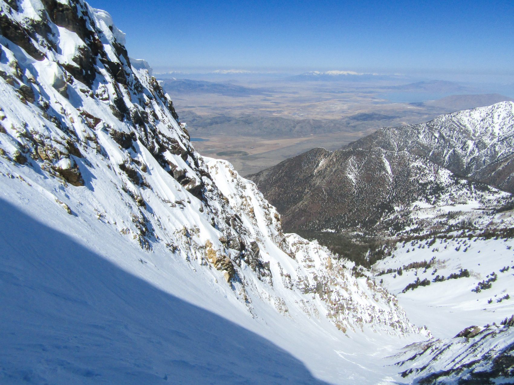
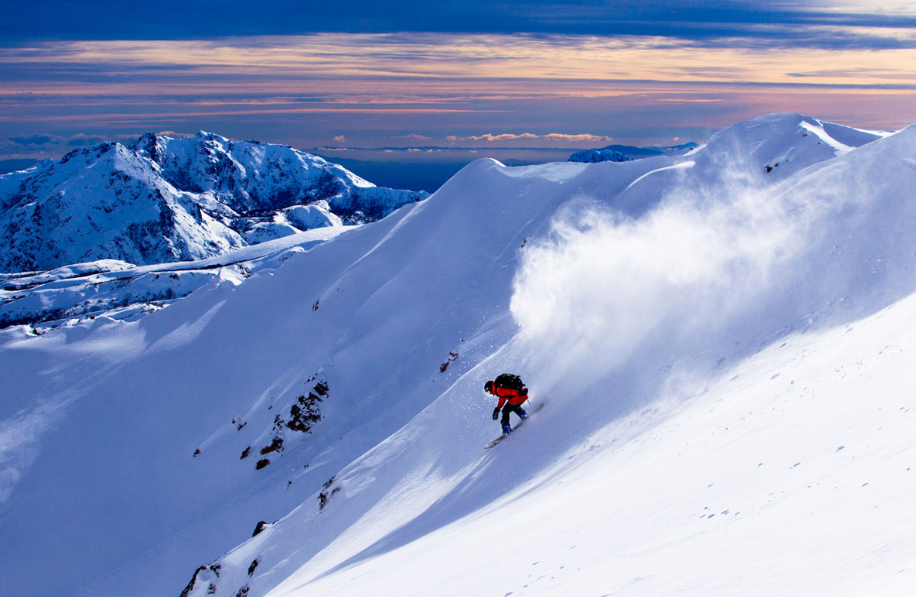
We all made the drop and instantly got hit with breakable crust and powerful wind-board snow.
The skiing was tough.
Real tough in spots.
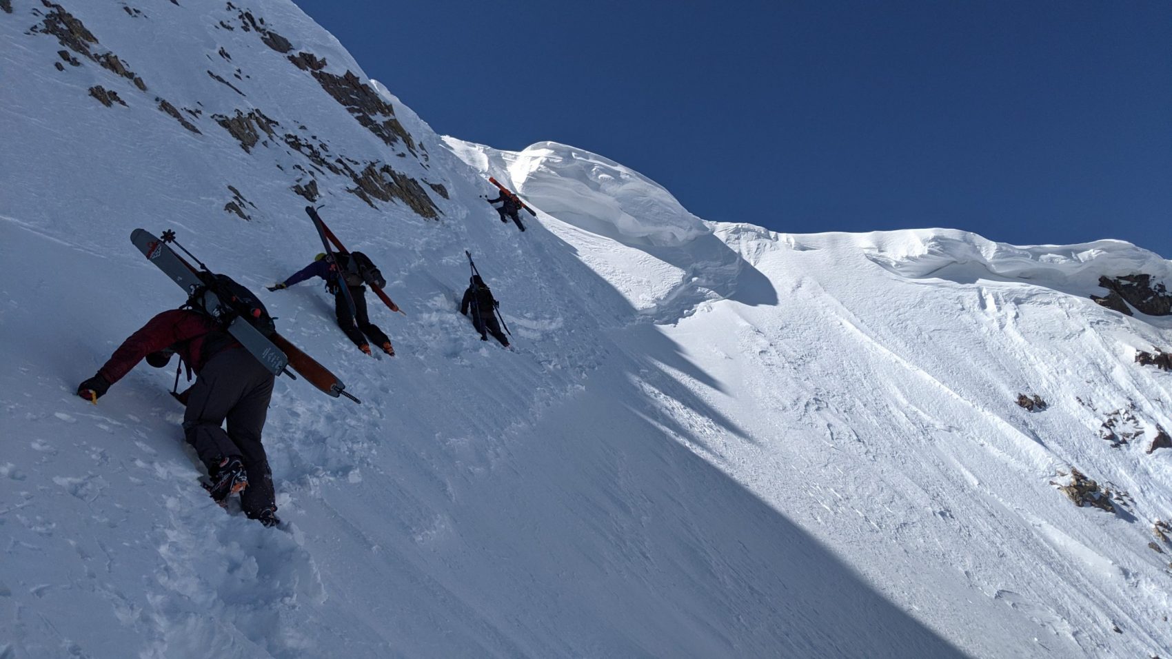
It took about all I had to get down in one piece.
Luckily, the apron had good snow and we got treated to about 20 creamy, recrystallized turns.
After the apron, the tree skiing was treacherous…
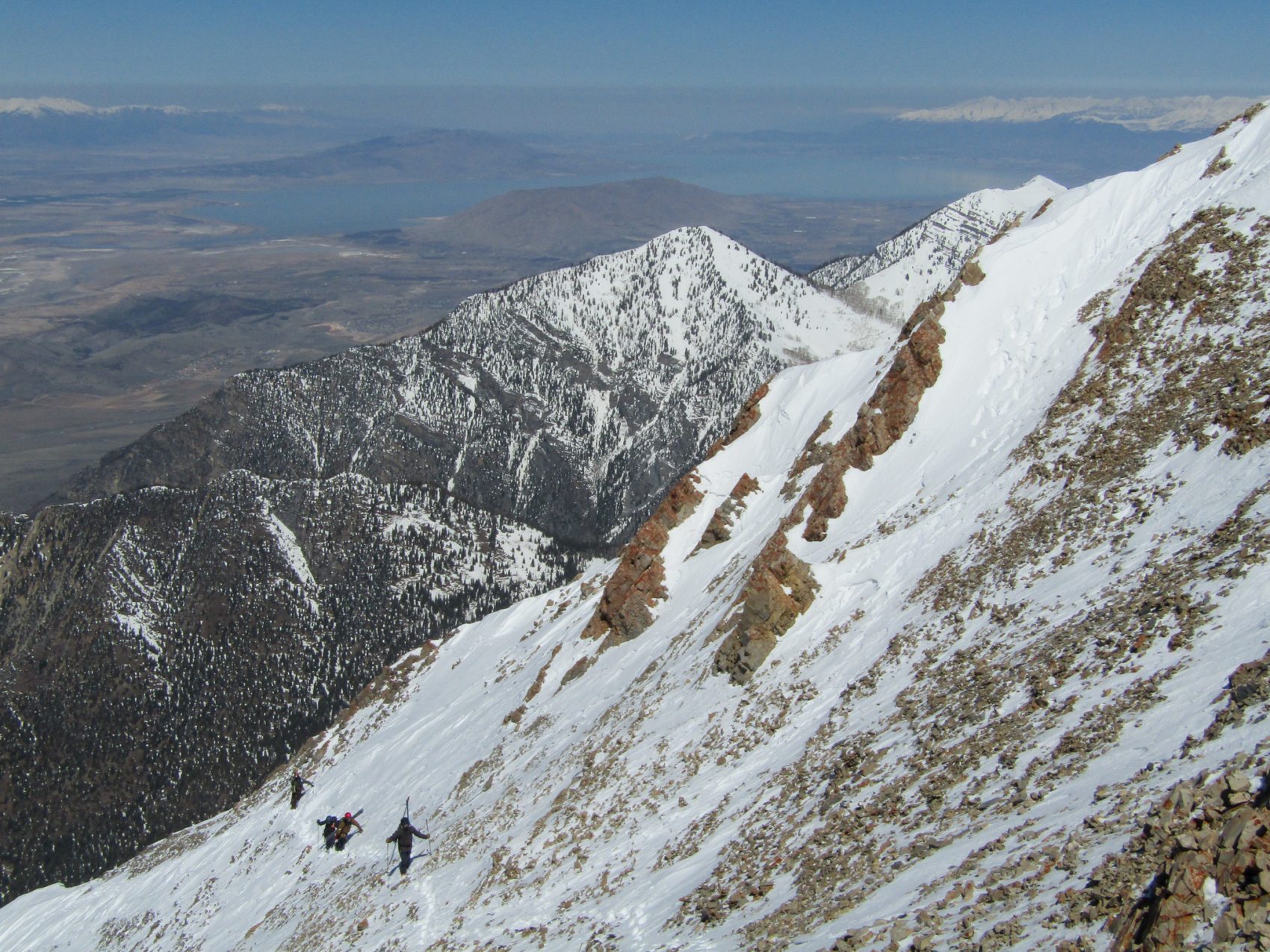
Sticky snow, icy snow, and powder snow all lingered without warning.
We survival-skied back to the road and slarved and snowplowed our way back to the car.
Taking ski boots off after the 9-hour trek was simply exquisite.

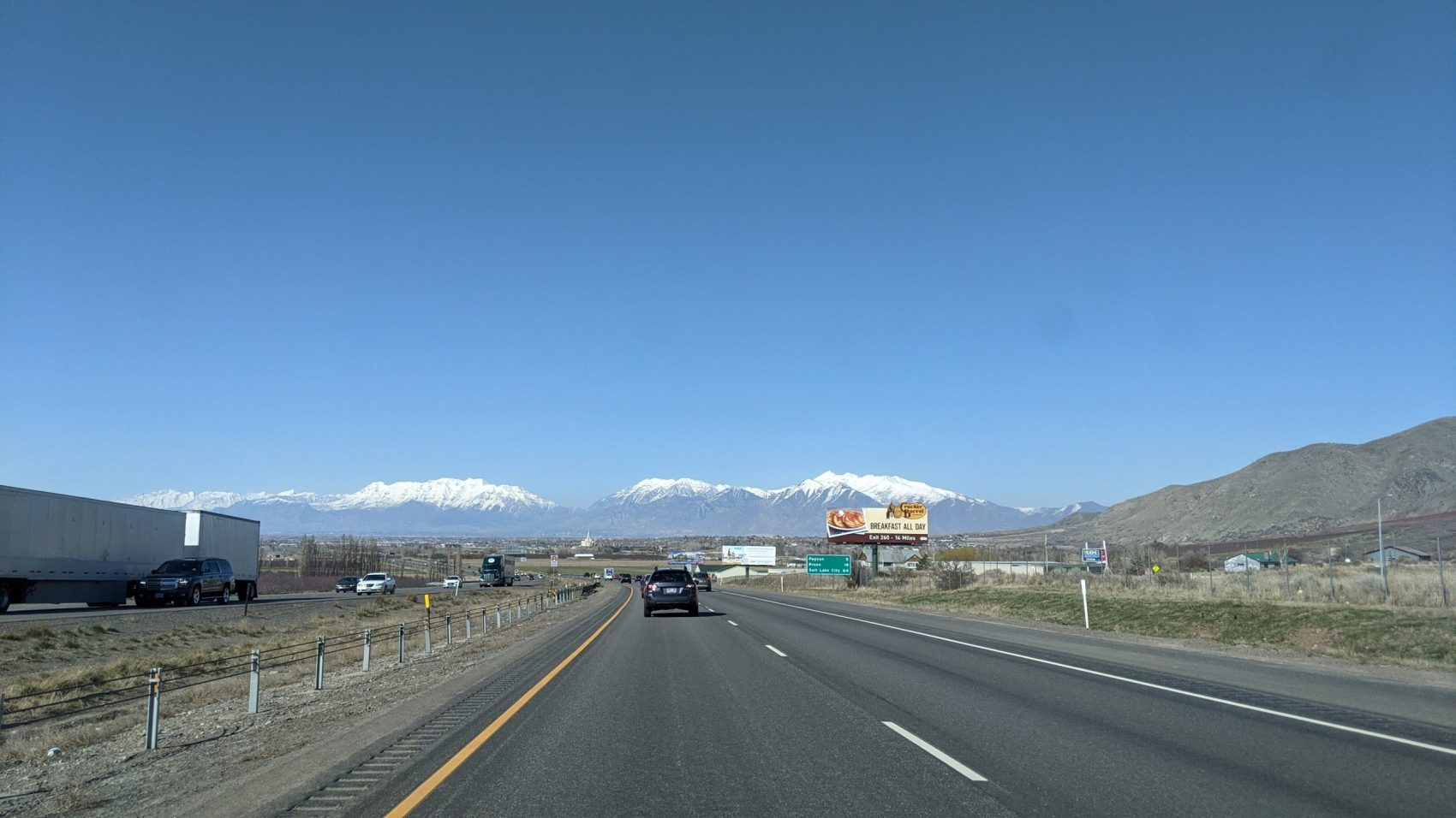
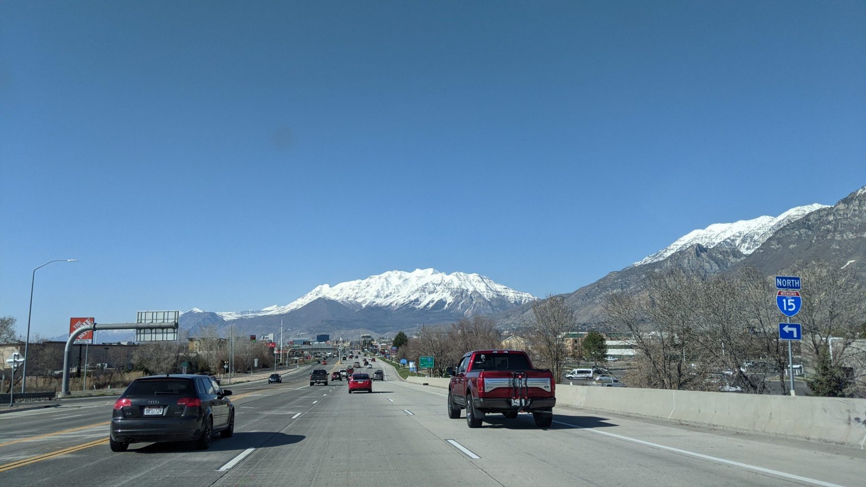
The road home was straightforward, except for the 100 stoplights in Provo…
Mt. Timpanogos was on fire.
It loomed over the skyline at every turn and beckoned.
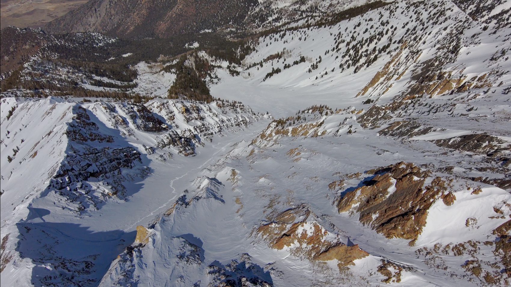
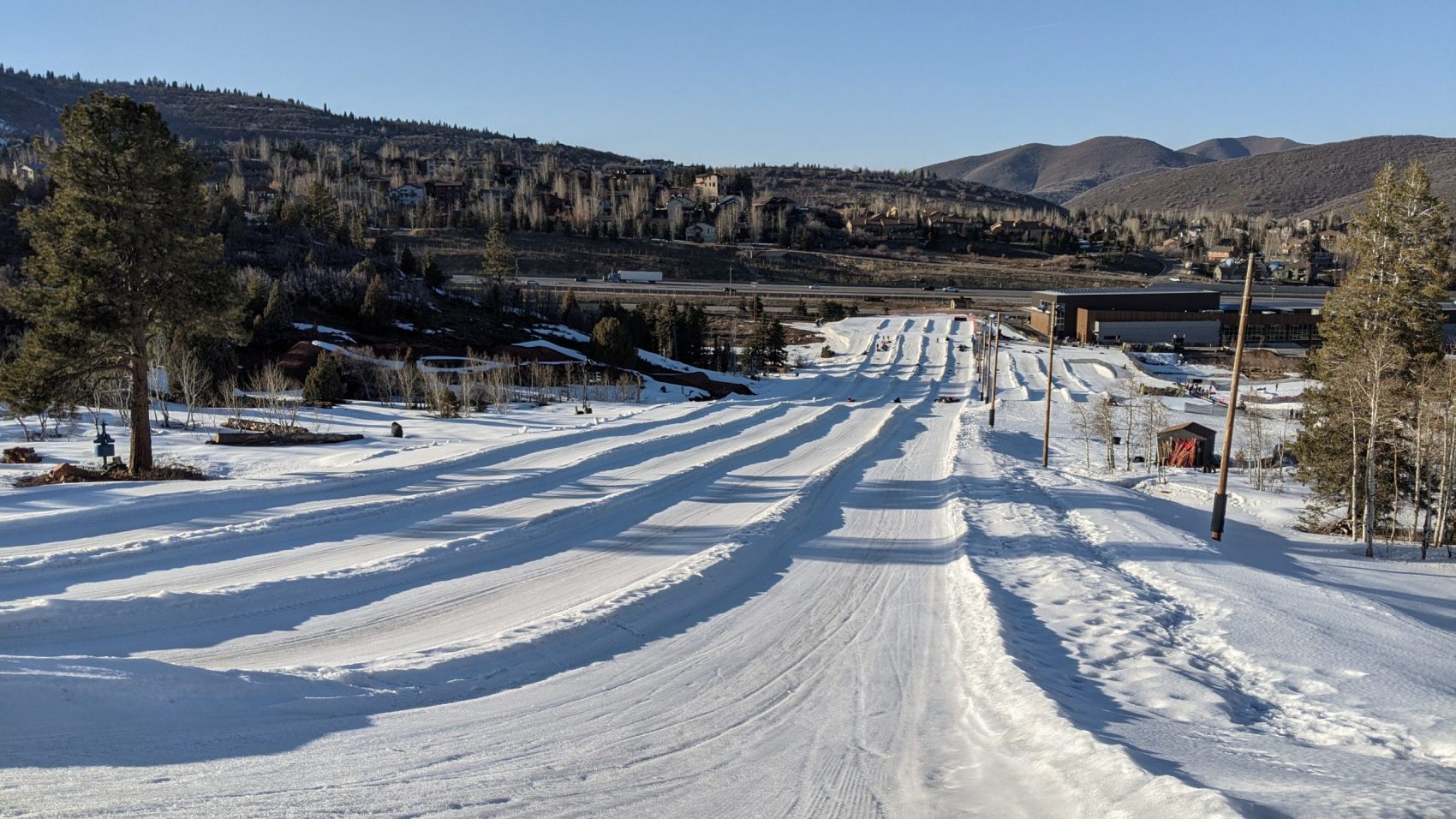
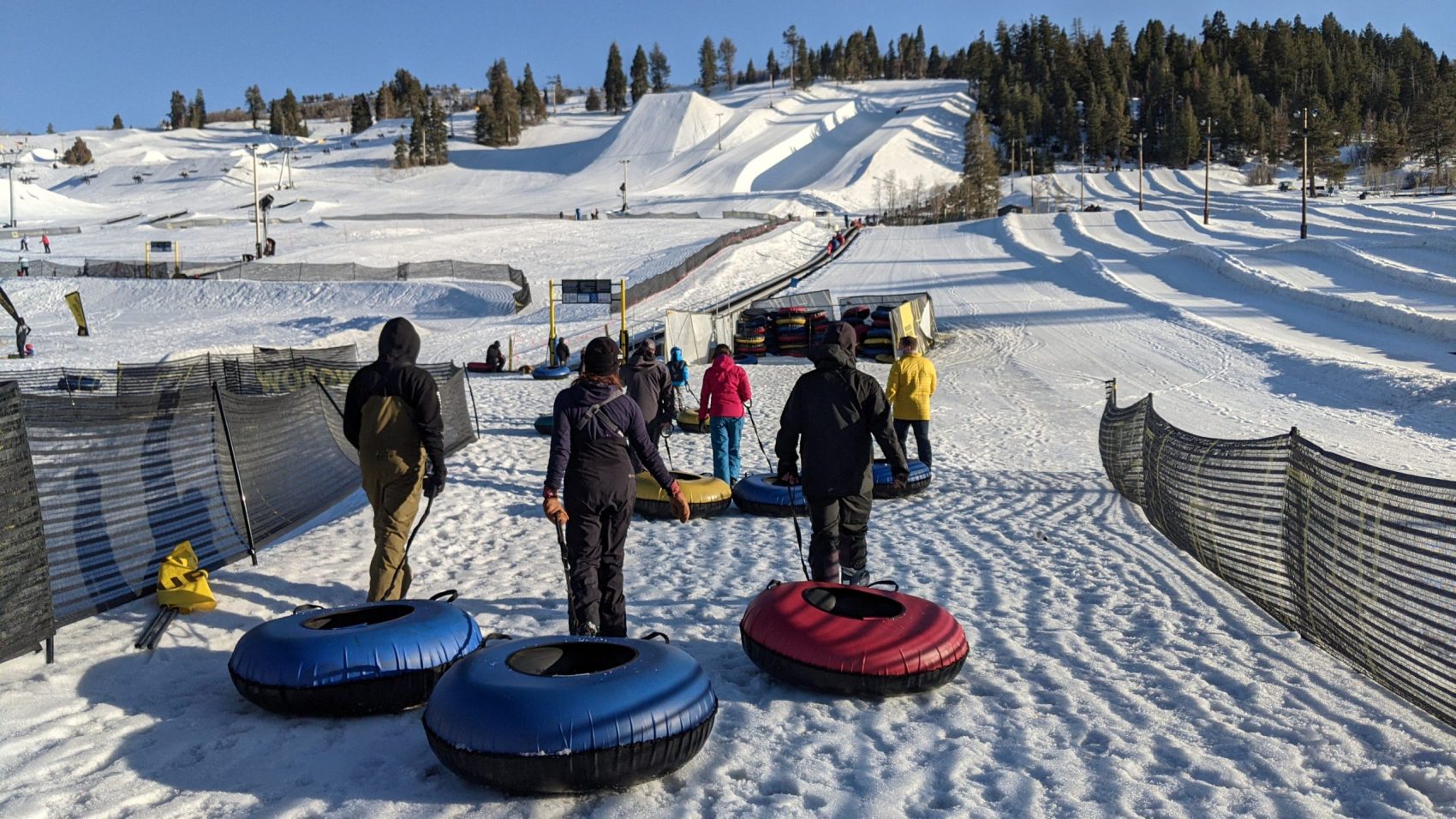
I drove straight to Woodward Park City and went snow tubing our friends from Amp Human.
I was so tired that even snow tubing via the magic carpet was exhausting – but damn fun.
The irony of the day hit me on my second snow tube lap: I’d surely gone faster on tube than on ski that day.
Yesterday was a surreal, difficult-to-understand day.
I now have a profound respect for Mt. Nebo, Utah.
Will I be back?
Maybe…
Recent Trip Reports:
- Trip Report: Mt. Dana, CA – “Dana Couloir”
- Trip Report: Mt. Dana, CA – “Solstice Couloir”
- Trip Report: Mt. Timpanogos, UT – “Grunge Couloir”
- Trip Report: Mt. Timpanogos, UT – “Cold Fusion Couloir”
- Trip Report: Snowbird, UT – “Pipeline”
- Trip Report: Mt. Superior, UT | “South Face”
- Trip Report: Little Cottonwood Canyon, UT – “Tanners Gulch”
- Trip Report: Nez Perce, WY – “The Sliver Couloir”
- Trip Report: Little Cottonwood Canyon, UT – The 3,200-Vertical-Foot “Y Couloir”
- Trip Report: Ruby Mountains, NV – “Terminal Cancer Couloir”
Photo Tour in Chronological Order:






Really sick day, but PLEASE stop flying drones in Wilderness Areas. They are prohibited.
Awesome journey. Almost wish I were there… but Big Sky was great too on March 31st. Mt. Nebo is beautiful place to hike in the summer. There photos are from the traverse on the southeast side:
https://photos.app.goo.gl/Wd6V6CSYh3abxQaw7