Brought to you by 10 Barrel Brewing
Report From Saturday, April 10, 2021
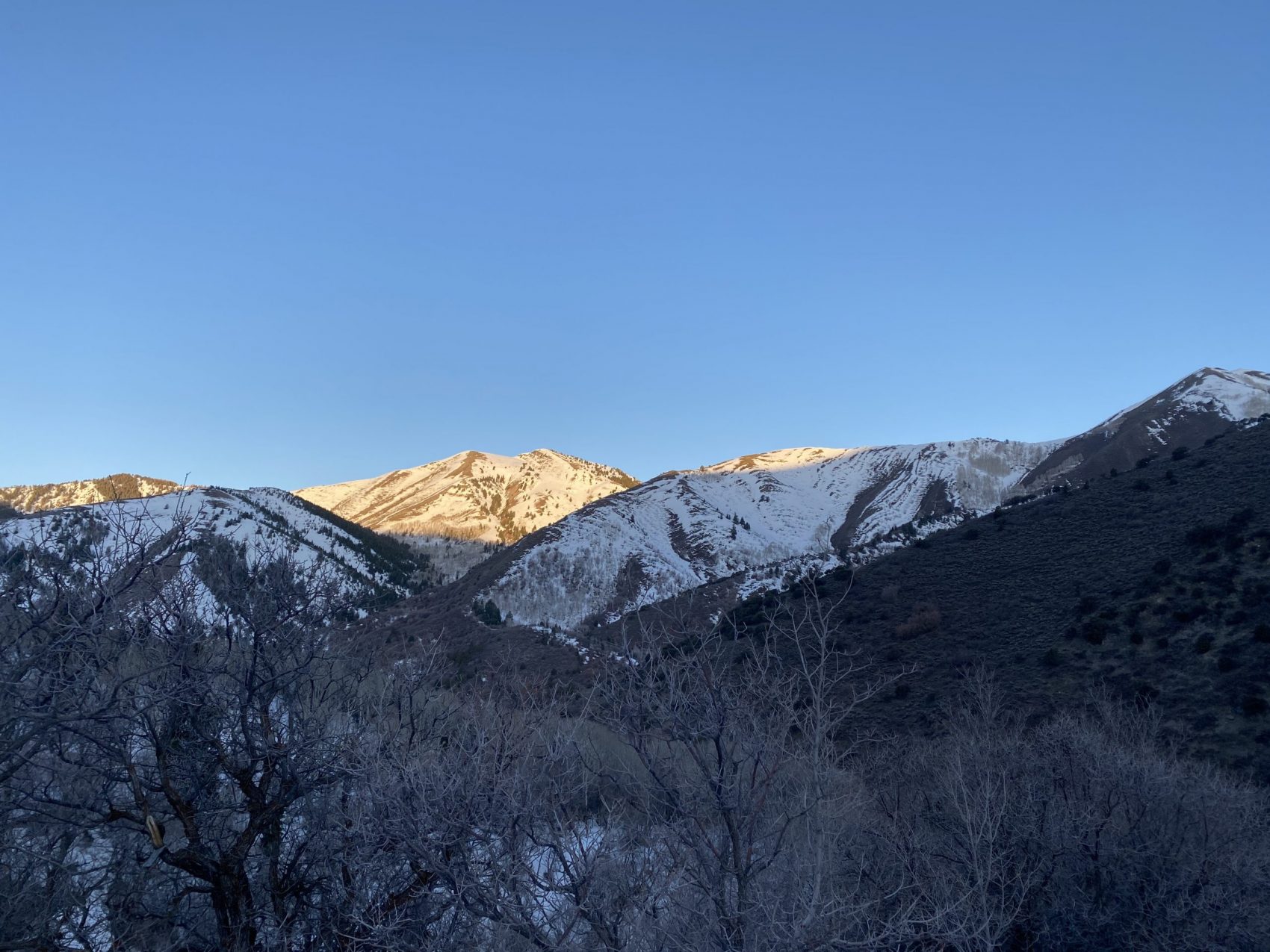
I’ve stared at those mountains for half a decade—since I first moved to Utah. Two days ago I finally skied them.
All I can think now is: why haven’t I gone there sooner?
On Saturday, April 10, 2021, Aidan, Devin, and I hit the road at 5:00 am in the hunt for corn snow in the Oquirrh Mountains—Salt Lake City’s ‘other’ mountain range on the opposite of the valley. We left the city, drove through the desert, and past the Great Salt Lake until stars started popping up overhead.
Soon enough we were in the mountains again—except that these ones felt different. They were lonesome—desolate—even though we were only an hour from Salt Lake.
As the sun started rising and we pushed further into these desert beasts it felt like we were entering into a land devoid of time—somewhere ancient and unforgiving. None of us had been here before, no one knew we were out here, and we had no cell reception.
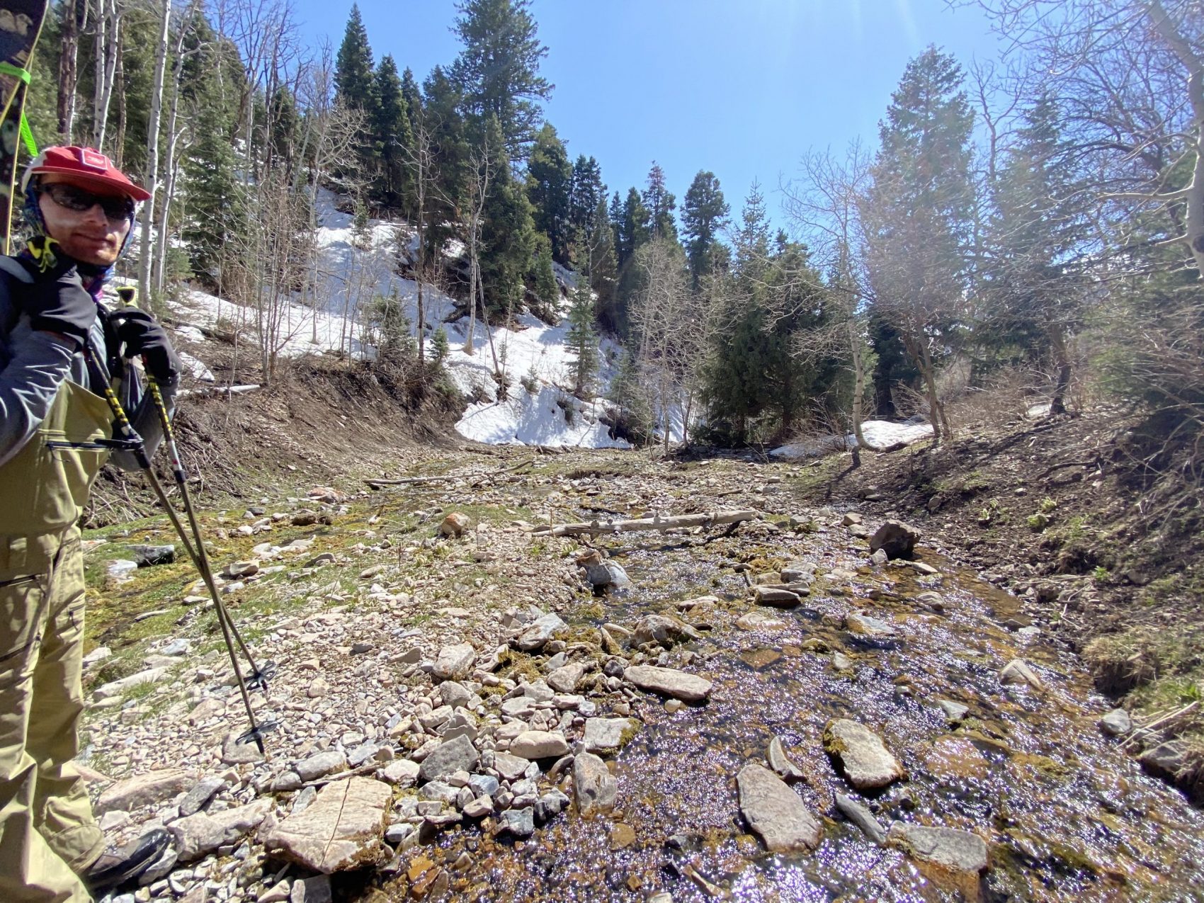
We pushed forward following a creek up into the unknown.
The further we trekked, the older and thicker the trees got, the bigger and snowier the mountains got—the more alone and the more alive we felt.
Rocky Peak – Oquirrh Mountains, Utah:
- Summit: 10,230′
- Car: 7,100′
- Vertical From Car: 3,130′
- Vertical skied: 1,600′ (x2)
- Max Pitch: 45º
- Aspect: Southeast
- Distance: 8-miles round trip
- Time From Car to Summit: 4.5 hours
- Car to Car Time: 9 hours, with two laps
- Recommended Equipment: Crampons, ice ax (if the snow is hard, which it wasn’t on this day) and skins
We didn’t know what to expect. None of us had ever skied in the Oquirrhs before, but we’ve all wanted to since we first laid eyes on them.
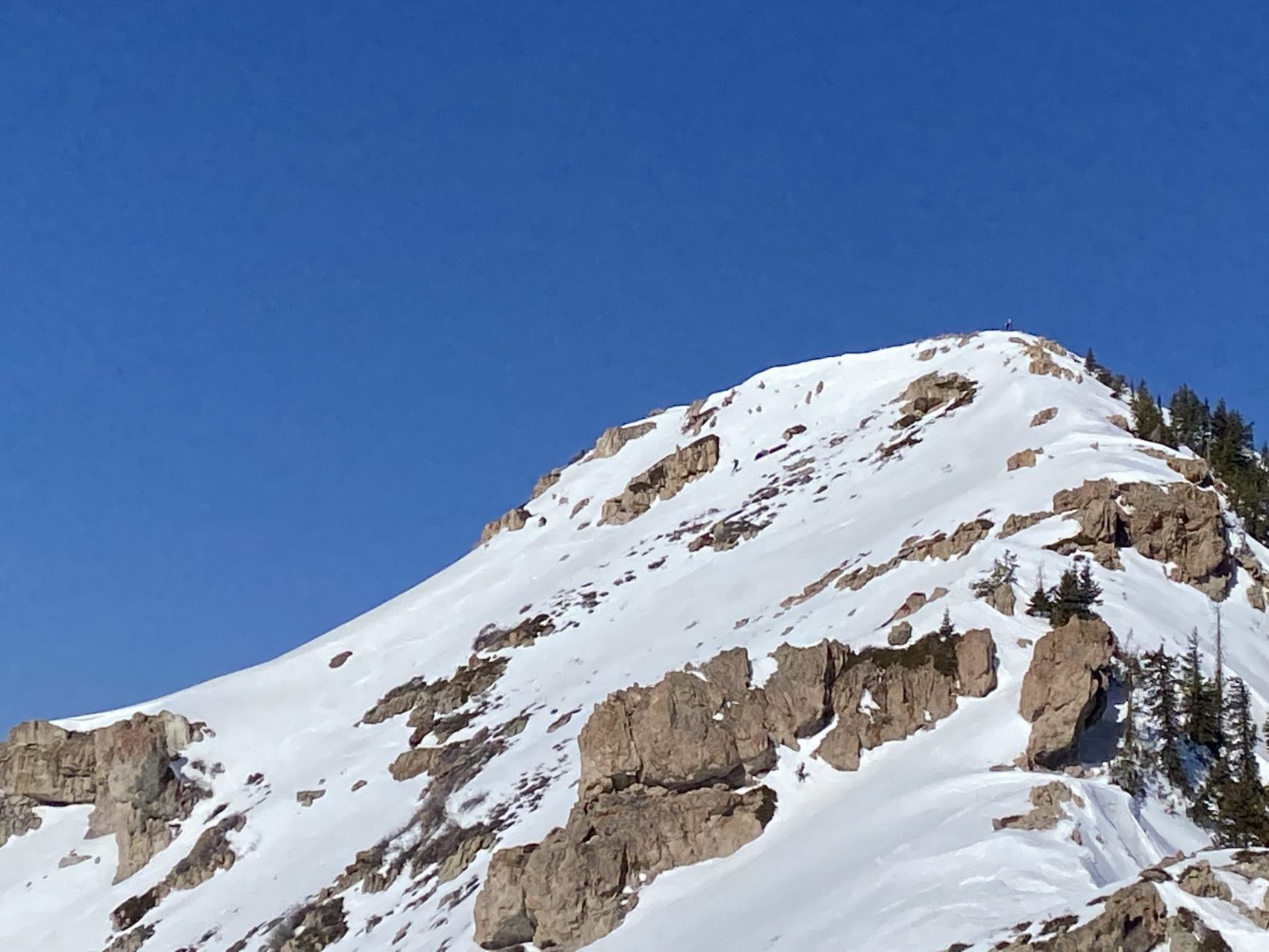
Lowe Peak was the plan, but we all agreed that when we got to the cirque, we’d ski whatever had the most snow and the most continuous skiing. That’s how we ended up skiing Rocky Peak—twice.
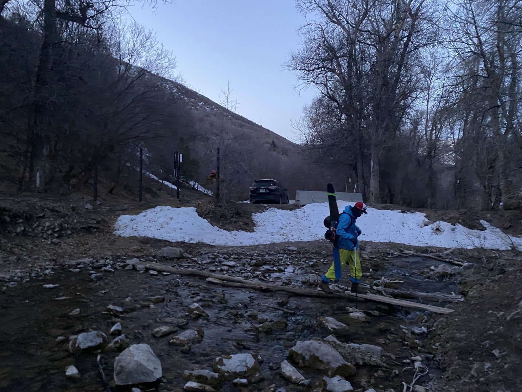
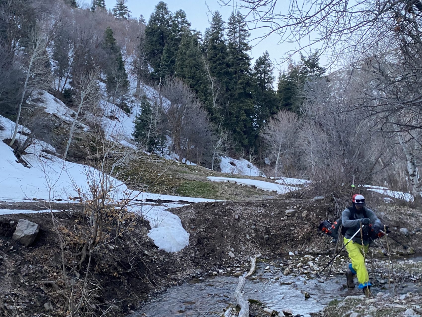
The early morning hike consisted of dozens of creek crossings and plenty of bushwacking. I tried to count how many times we crossed the creek on the way to the Lowe Peak-Rocky Peak Cirque, but I lost count in the first 15 minutes.
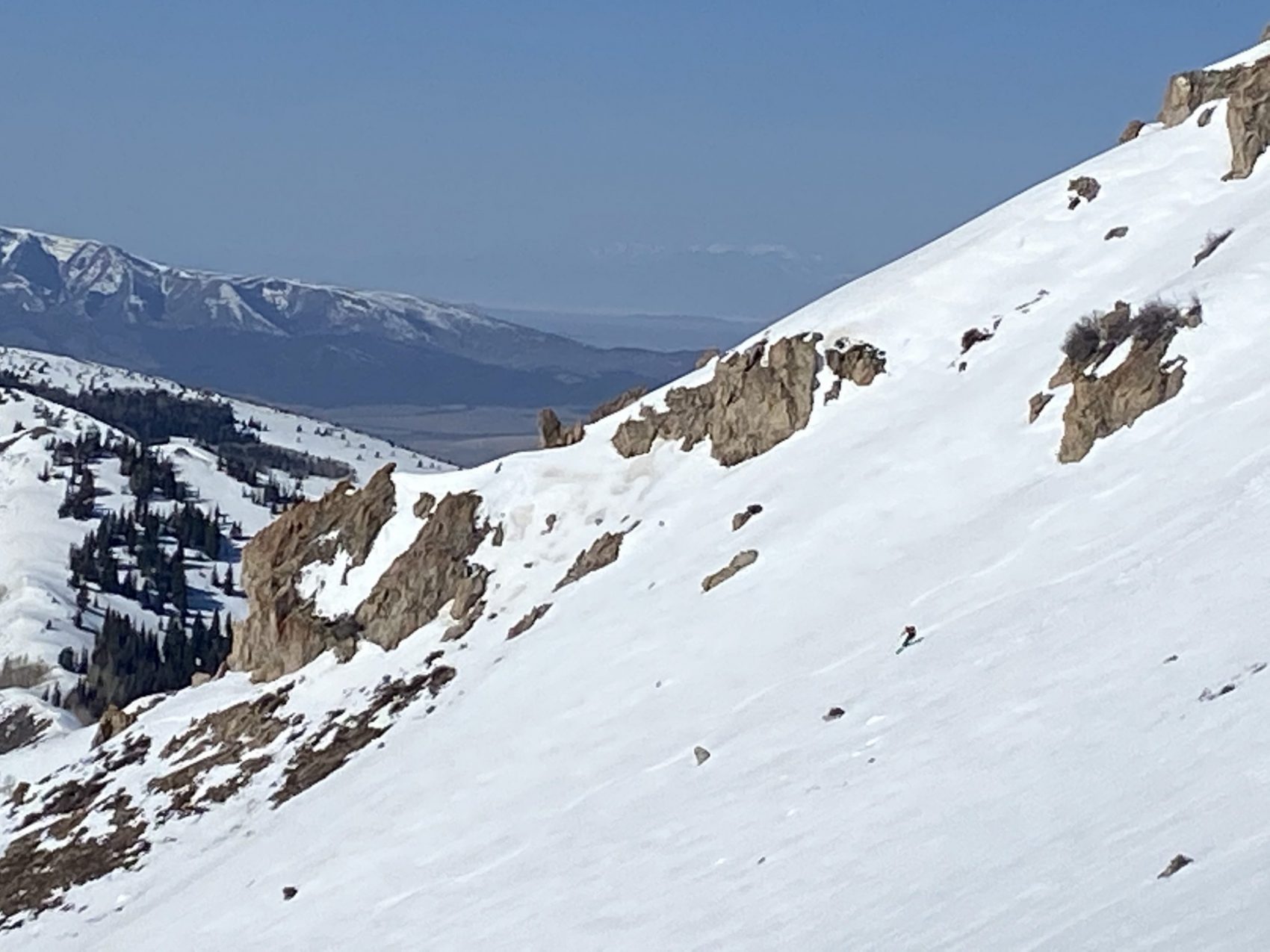
The way up was relatively mellow; a gradual incline along the creek through a beautiful forest in what felt like absolute nowhere. The more distance we gained, the snowier the approach got.
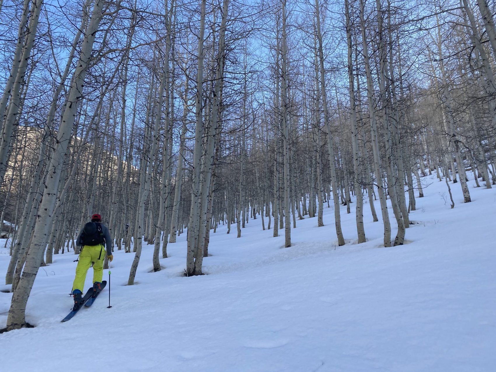
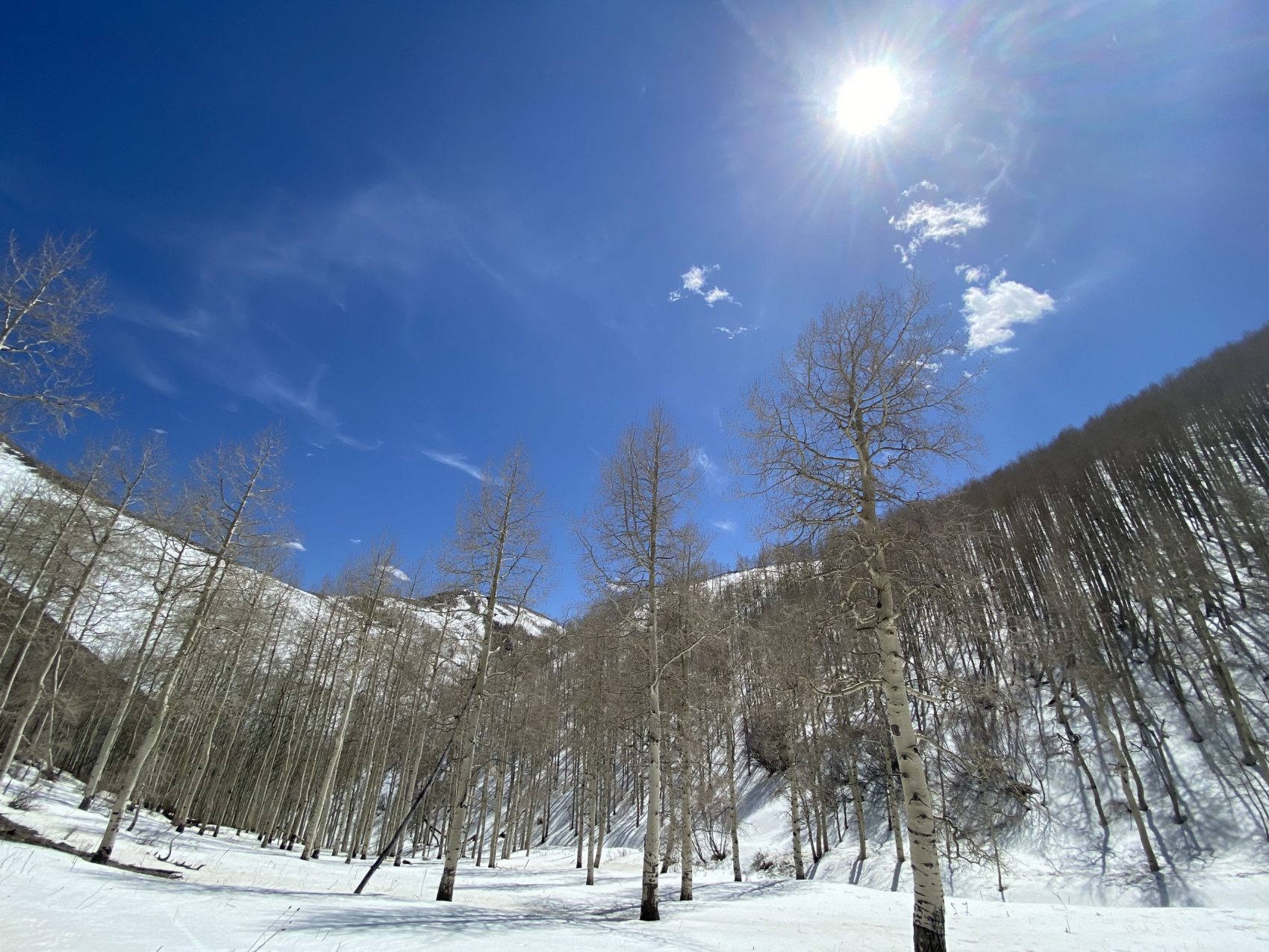
We started walking in hiking shoes with our skis and boots on our backs until we were halfway through an old-growth aspen forest, where we transitioned to skins. Skinning through the giant, ancient aspen trees in the early morning with no wind and no sound was surreal.
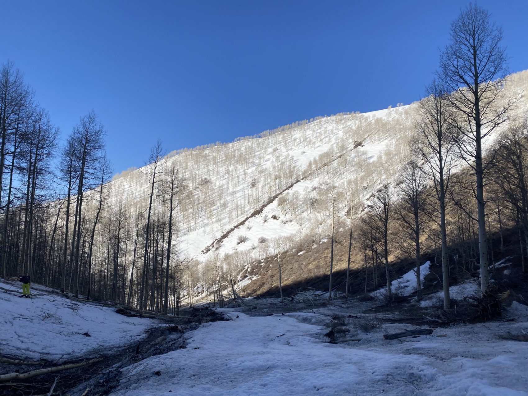
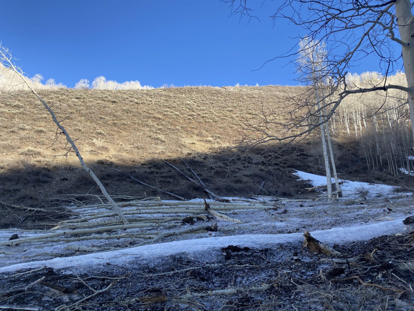
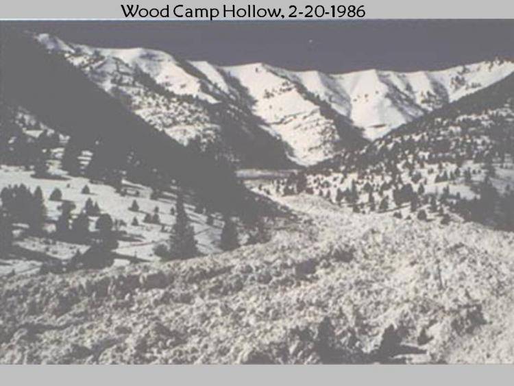
A coyote crossed our path right as the sun was cresting over the saddle between Lowe Peak and Corn Peak. We followed a drainage that was filled with incredible debris from an avalanche of unthinkable proportions.
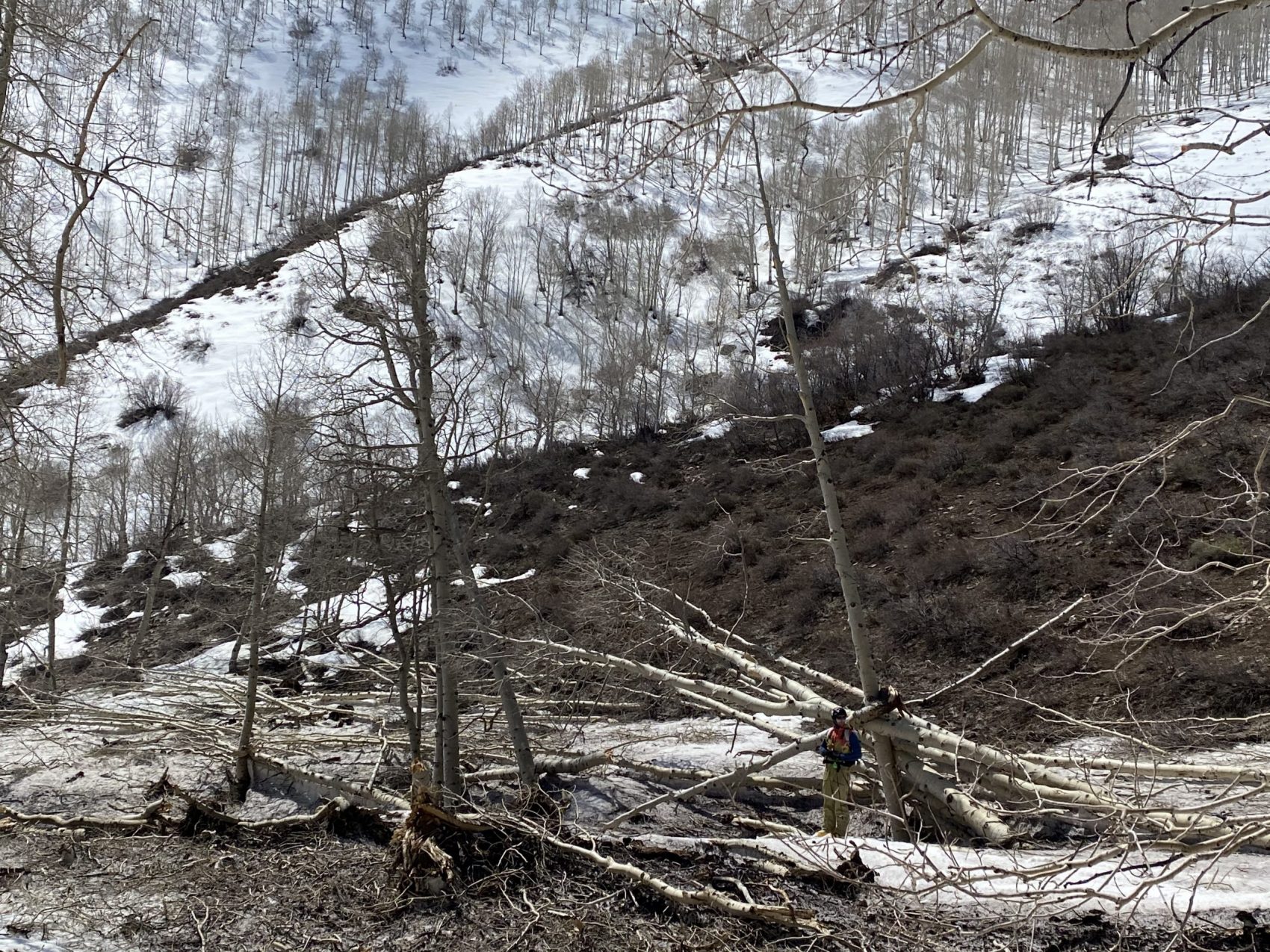
Hundreds of huge, towering aspen trees were ripped out and tossed down the drainage like they were toothpicks. It seemed like the entire ridgeline connecting Rocky Peak, Corn Peak, and Lowe Peak ripped sometime earlier this season.
Glad that we weren’t there to witness the destruction in real-time, we pushed forward to the base of the three peaks. Lowe Peak, a predominately south-facing aspect, looked low on snow, especially when compared with Rocky Peak right next to it.
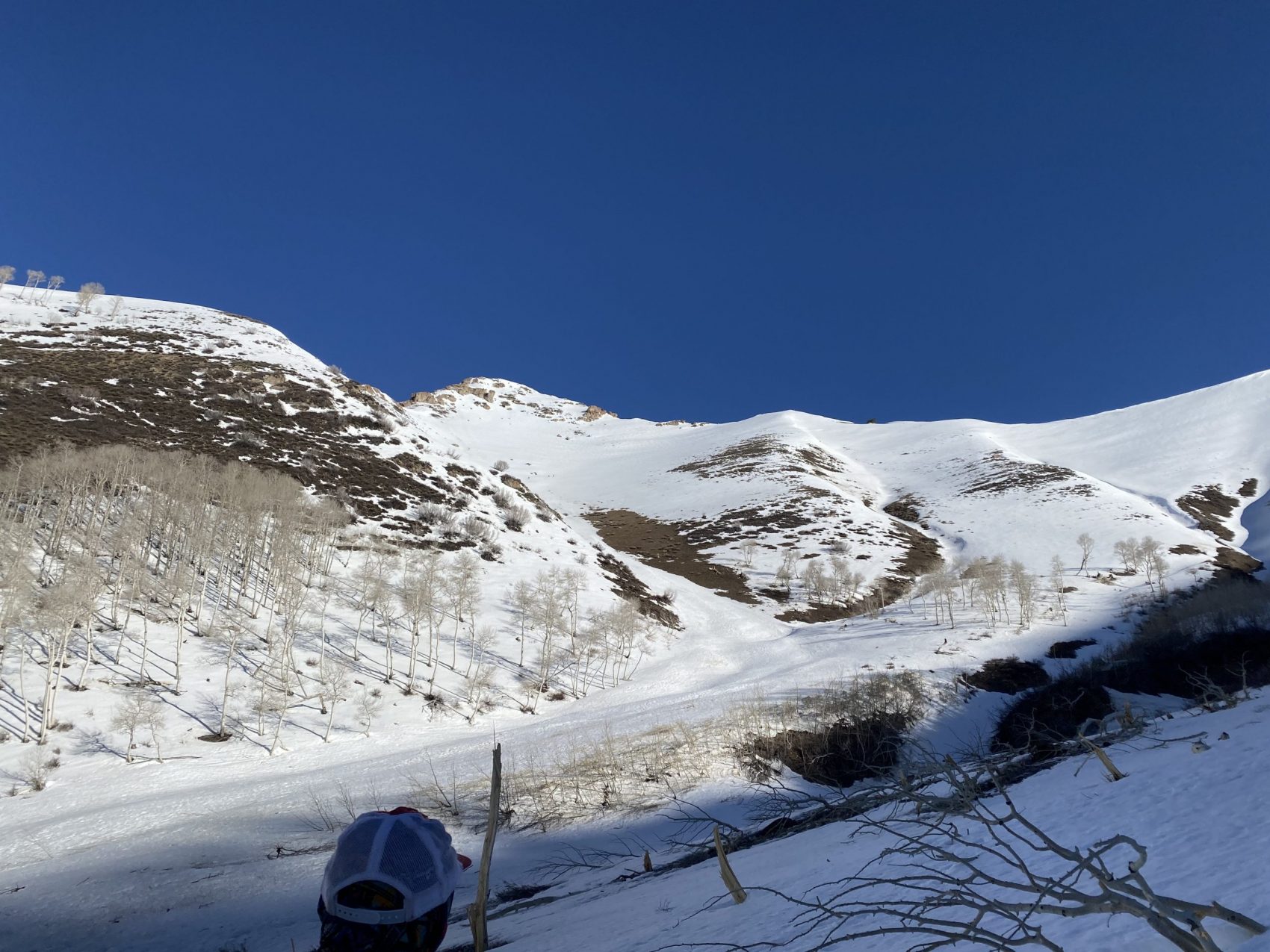
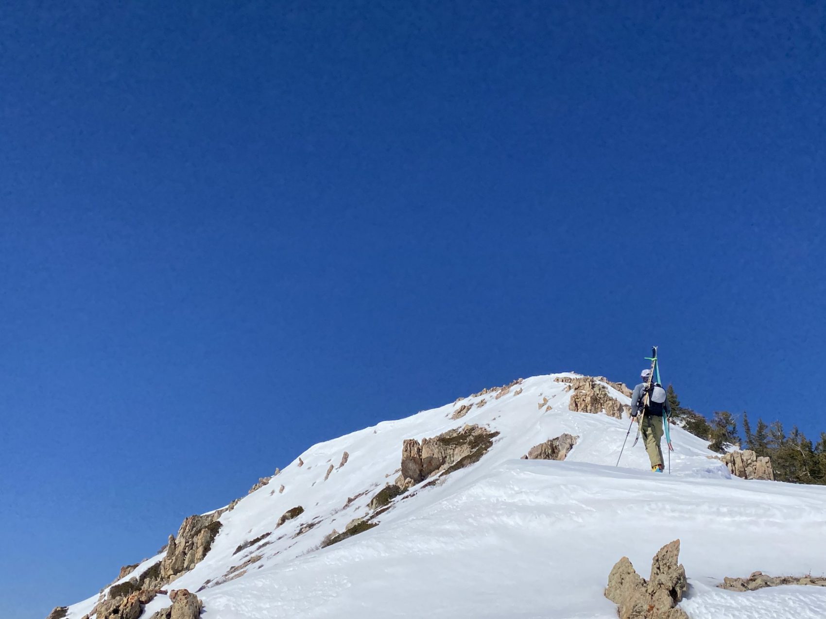
So we scrapped our plan for Lowe Peak and headed up Rocky Peak, which was just catching the morning sun as it was slightly more east-facing than Lowe. As we toured up the steep, leg-burning apron, the firm, icy snow that re-froze overnight was just starting to glisten as it thawed.
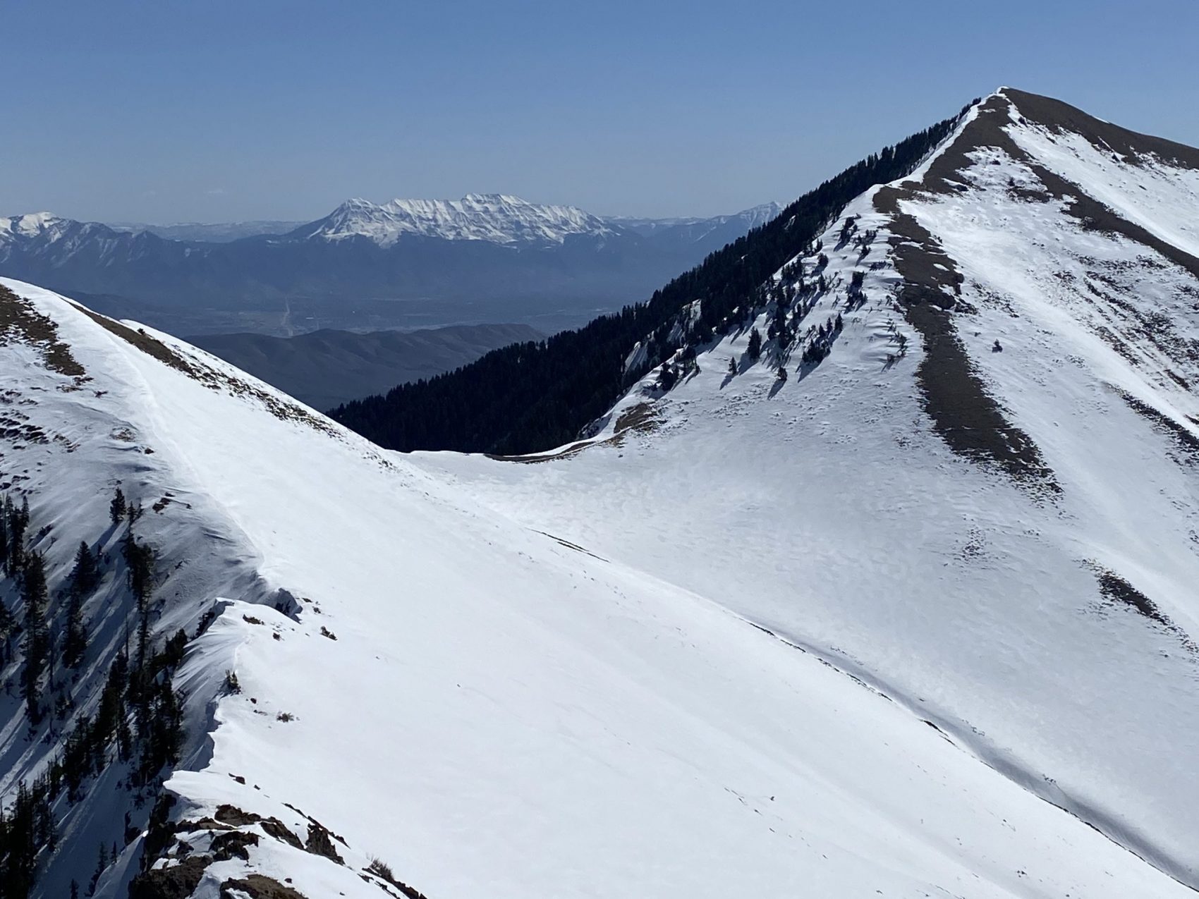
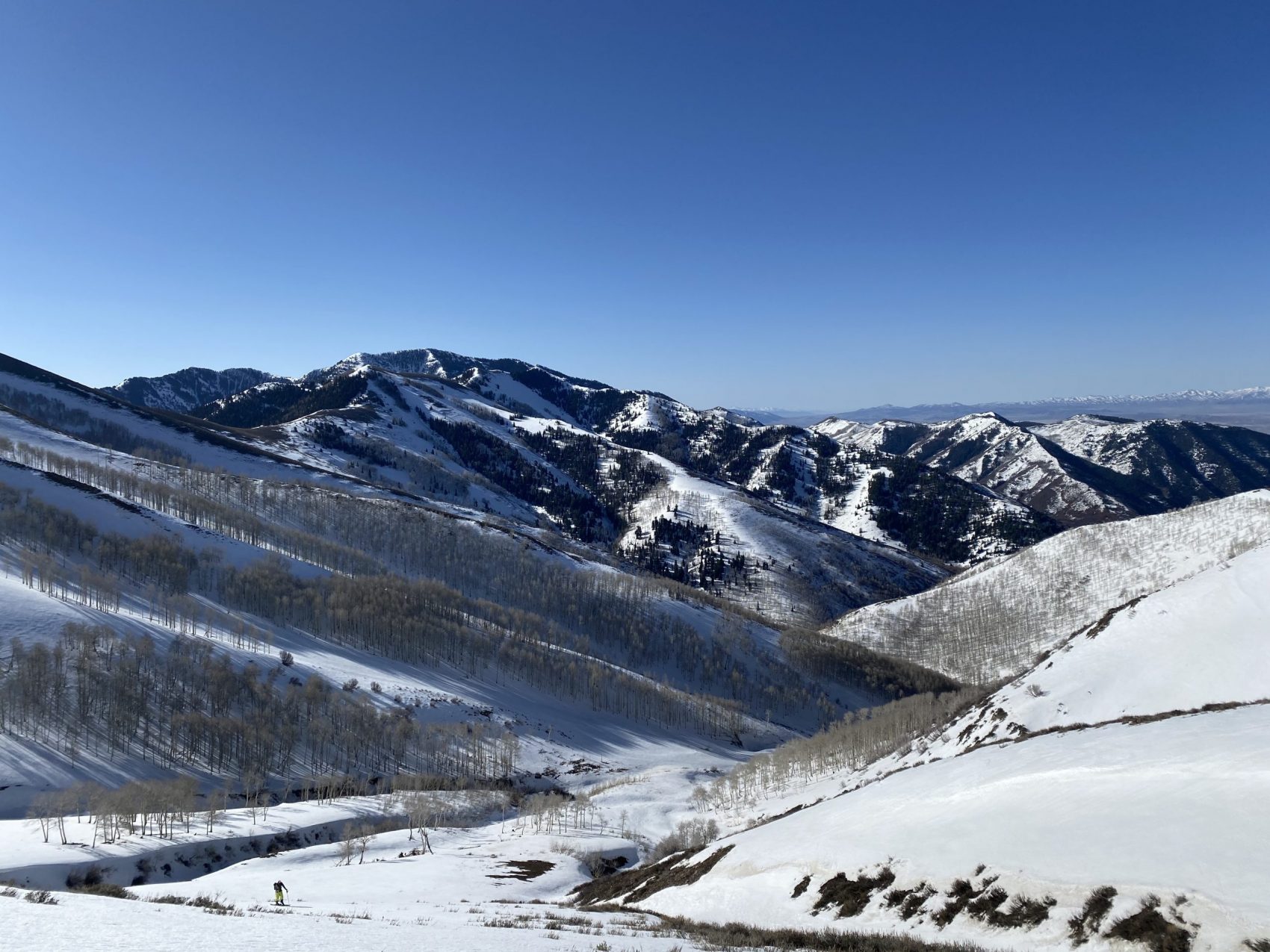
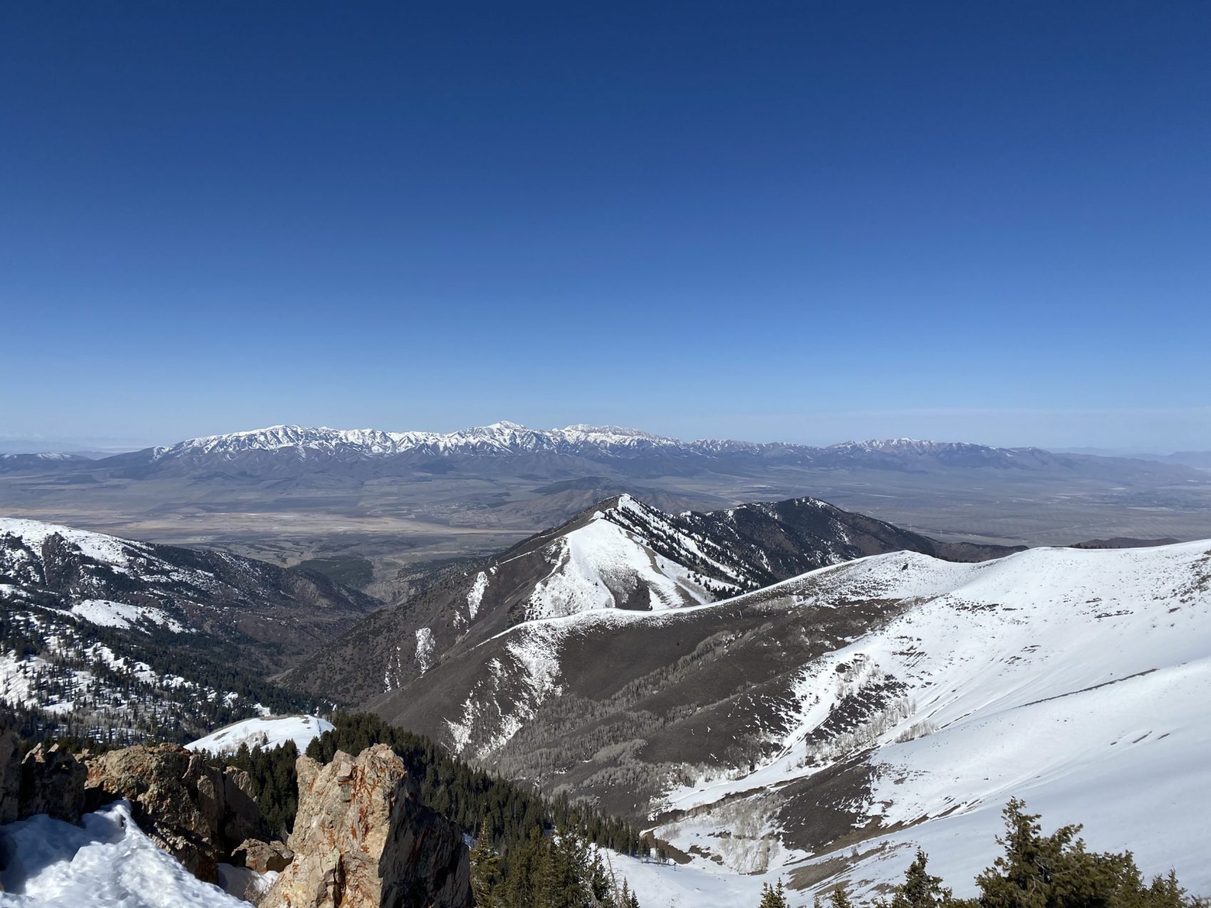
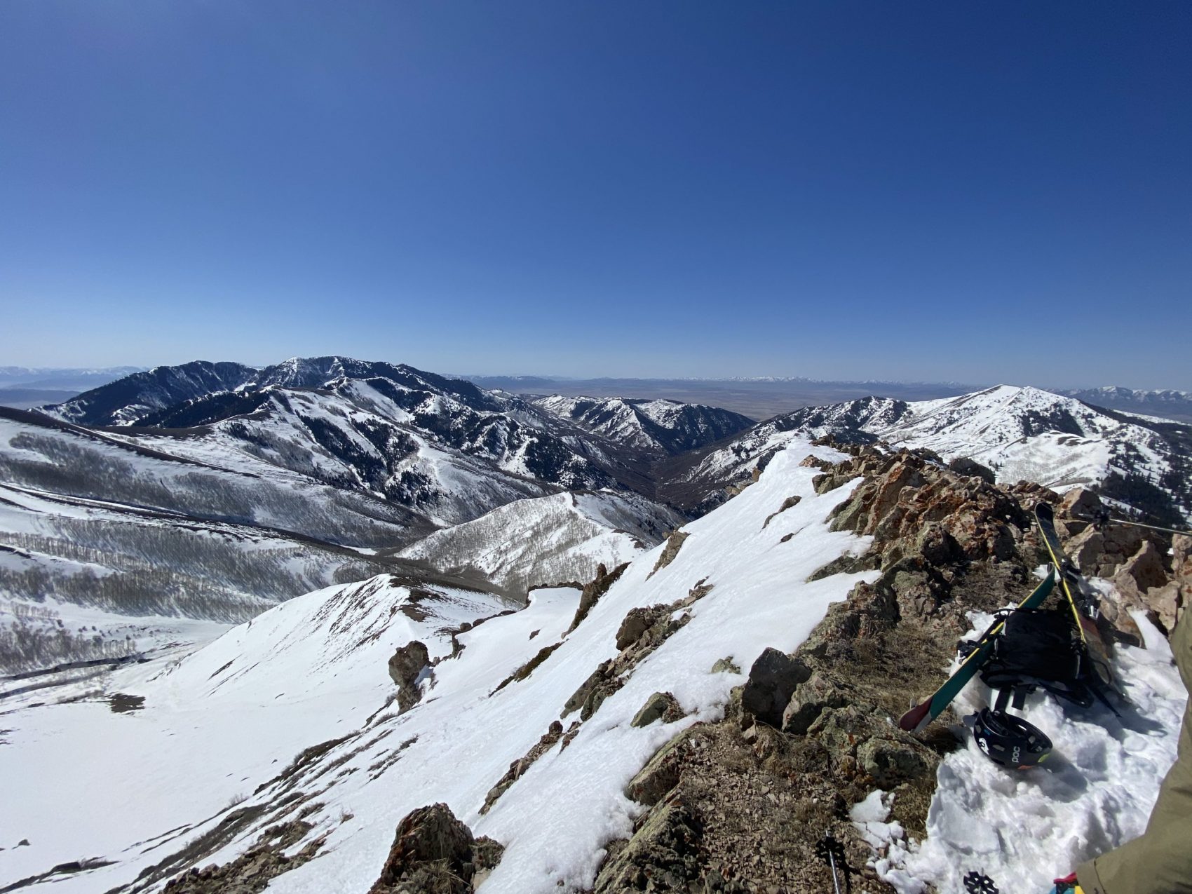
We were timing it perfectly. We skinned up to the ridge connecting to Rocky Peak and saw a view of Salt Lake City from a most unique, gorgeous angle.
“I can see my house from here!” I exclaimed to Devin as we drank in the views before the final push to the summit.
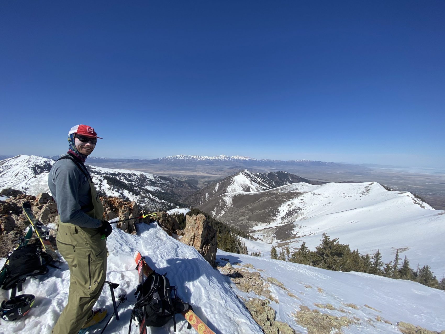
Once on top of the ridge, it was a quick, 15-minute bootpack and minor scramble to the summit of Rocky Peak at 10,230-feet. The views from the top were more captivating than I could have ever imagined—I could see it all: the desert, the Stansburys, the Great Salt Lake, Mt. Timpanogos, Little and Big Cottonwood, downtown Salt Lake City, my house—it was almost too much to take in.
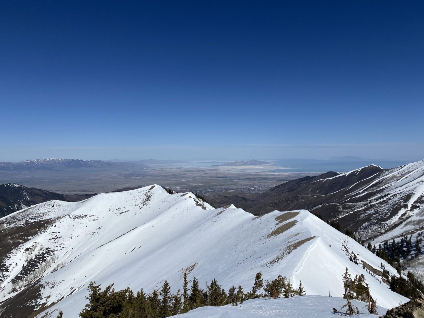
It was emotional. We met a man at the summit who said he’d been skiing the Oquirrh’s for 30+ years.
I can see why.
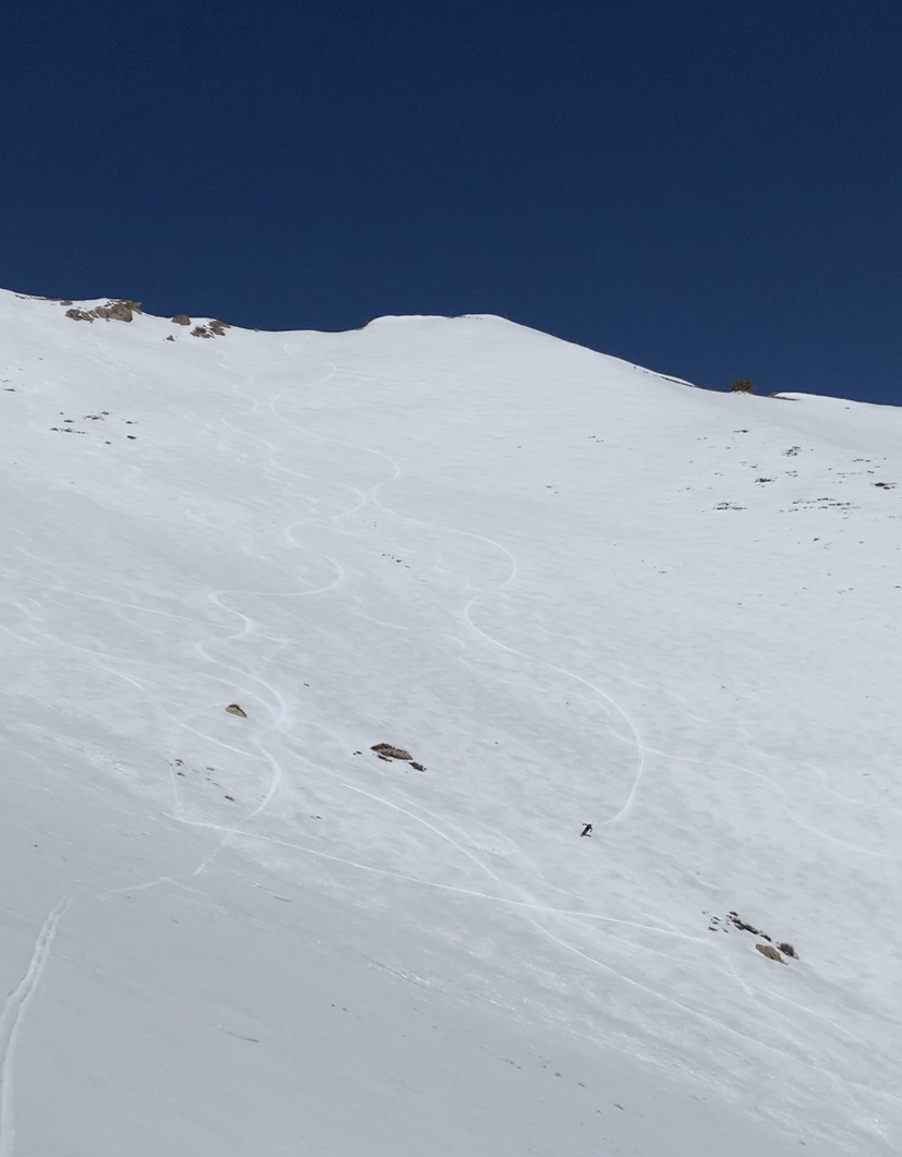
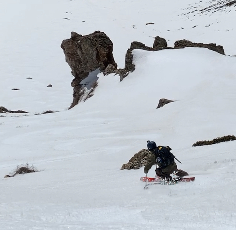
We dropped from the summit of Rocky Peak at 11:30 into pure, life-affirming corn snow. You could carve and charge as hard as you wanted to all the way down for 1,600-vertical feet.
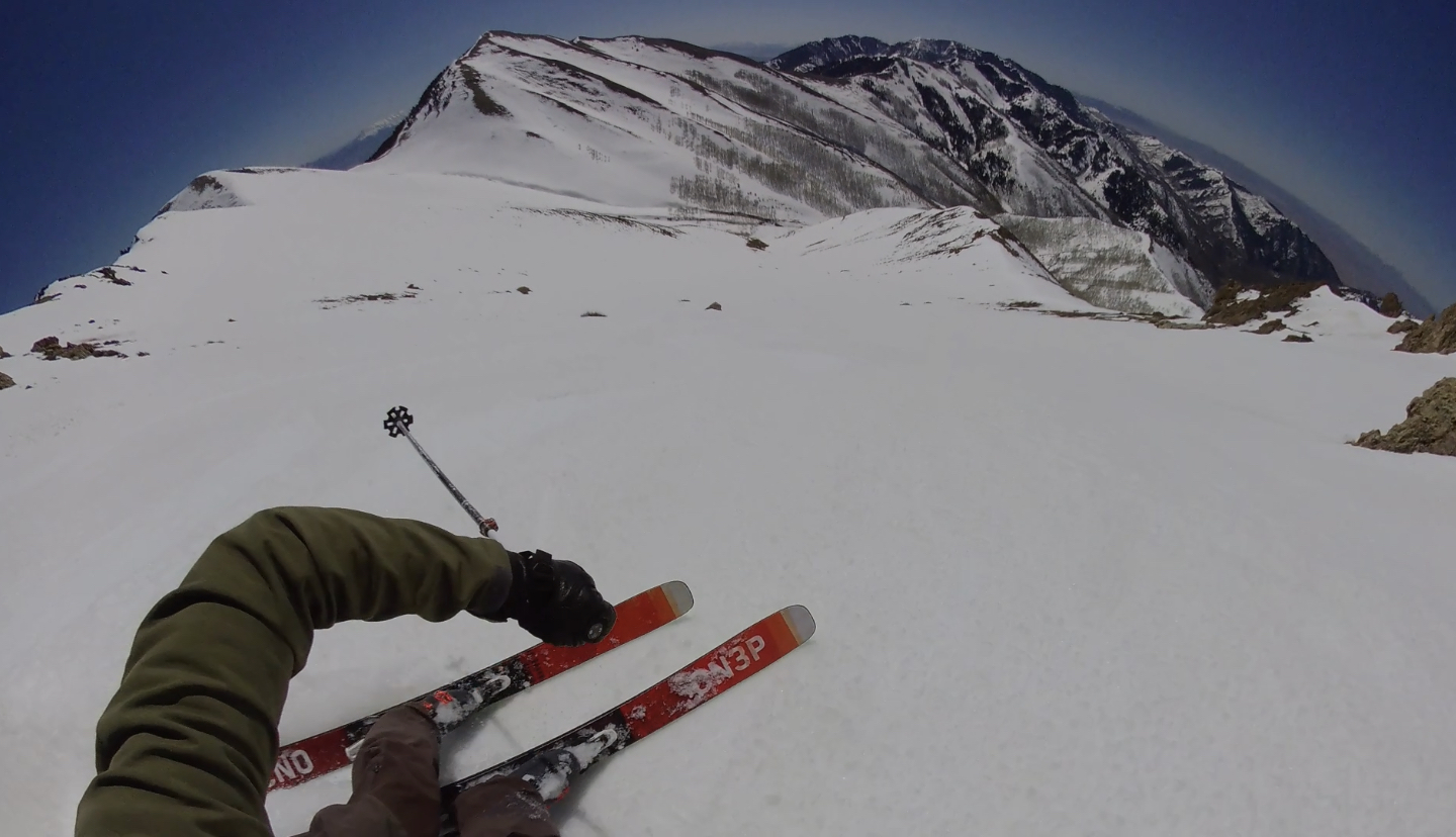
The top was steep as hell and you had to navigate in between obvious rocks. There was a thin funnel next to an ominous-looking limestone rock tower that was incredibly fun to blast past at full speed.
Once you made it past this choke, you entered into what I would equate to strolling in past the pearly gates of Heaven: incomprehensibly wide-open, delicious bowl-skiing in perfect corn snow. My turns were tight up top but halfway down the bowl I arc’d long, football-field-length turns at peak velocity.
The snow was ridiculously friendly and fun and it was all over way too fast. Aidan skied a bowl from the ridge leading up to the summit and had the entire thing to himself while Devin and I charged the main face.
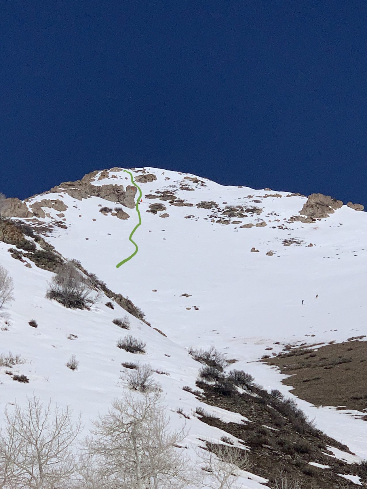
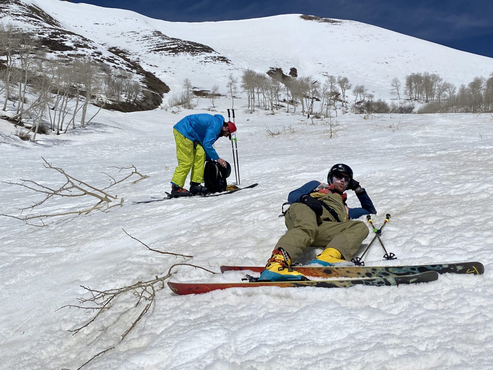
At the bottom, we regrouped, had a snack and a smoke, and went back up Rocky Peak for round two. Forget Lowe Peak—that was way too fun to not do again!
We started the second lap at 1:30 and found the corn snow to be slightly heavier and not as fast this time around but equally as epic. I was glad because I skied the first lap almost too fast and felt fear at 50 mph.
Halfway down Rocky Peak, we traversed to the skier’s right ridge and skied a line in the trees from there. The big aspen trees were perfectly spaced apart, the pitch was steep, and the corn was still as good as ever.
At the bottom we stared at the amazing lines we had just skied, re-hydrated, and commenced the long and grueling return back to the car.
We marched back down under the desert sun with our heads held high, alone and happy.
Recent Trip Reports:
- Trip Report: Mt. Dana, CA – “Dana Couloir”
- Trip Report: Mt. Dana, CA – “Solstice Couloir”
- Trip Report: Mt. Timpanogos, UT – “Grunge Couloir”
- Trip Report: Mt. Timpanogos, UT – “Cold Fusion Couloir”
- Trip Report: Snowbird, UT – “Pipeline”
- Trip Report: Mt. Superior, UT | “South Face”
- Trip Report: Little Cottonwood Canyon, UT – “Tanners Gulch”
- Trip Report: Nez Perce, WY – “The Sliver Couloir”
- Trip Report: Little Cottonwood Canyon, UT – The 3,200-Vertical-Foot “Y Couloir”
- Trip Report: Ruby Mountains, NV – “Terminal Cancer Couloir”
- Trip Report: Girdwood, AK — Alyeska Resort And Hotel Alyeska
- Trip Report: 11,929′ Mt. Nebo, UT – “The Northwest Couloir”
Photo Tour in Chronological Order:
