Forecast By SnowBrains Meteorologist Nathan Tarino
1:00 AM MST 12-18-21
Forecast Summary
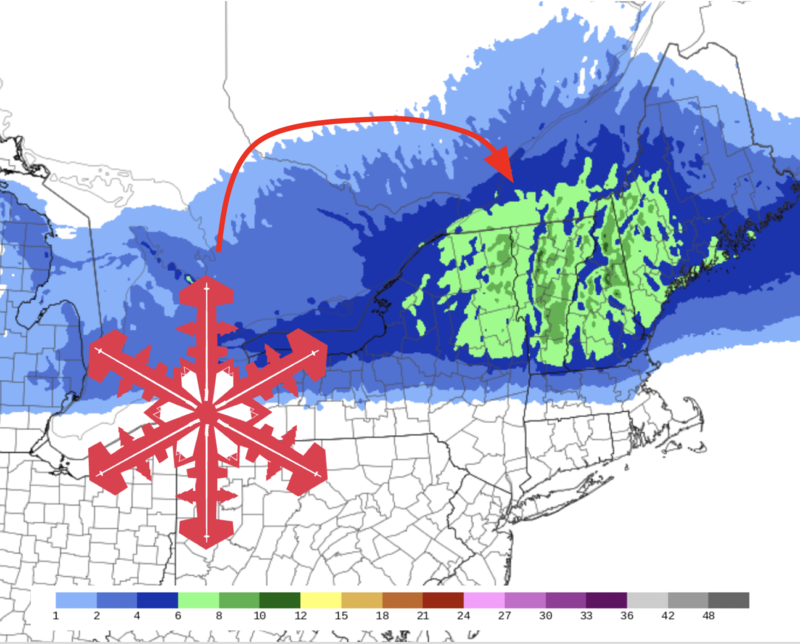
A shot of winter weather will move through New England late Saturday into Sunday morning. Good skiing conditions will be found by Sunday morning across Upstate New York, Vermont, New Hampshire, and Maine. Most resorts are in for 4-8″ of snow.
Snow will fall to the lowest elevations, and relatively evenly across New England’s ski country. Even the smaller and typically less snowy resorts can expect to pick up solid snow totals.
Relatively quiet weather will take over behind this storm. Cooler than usual temperatures and a couple of chances at some light snow on Tuesday and Wednesday night will help keep conditions from slipping into next week.
Short Term Forecast
Snow will begin Saturday afternoon across New York, spreading across Vermont, New Hampshire, and Maine overnight. Snow will taper off Sunday morning, so first chair Sunday will offer up the best turns.
Most resorts can expect 4-8″ of snow. The higher peaks in central Vermont and New Hampshire (Killington, Sugarbush, Wildcat) could see totals closer to 10″ near the top.
After the snow clears out through Sunday morning, chilly but mostly dry weather will settle in. Frontal passages on Tuesday morning Wednesday night will bring some additional snow, with light accumulations mainly near the Canadian border.
Extended Forecast
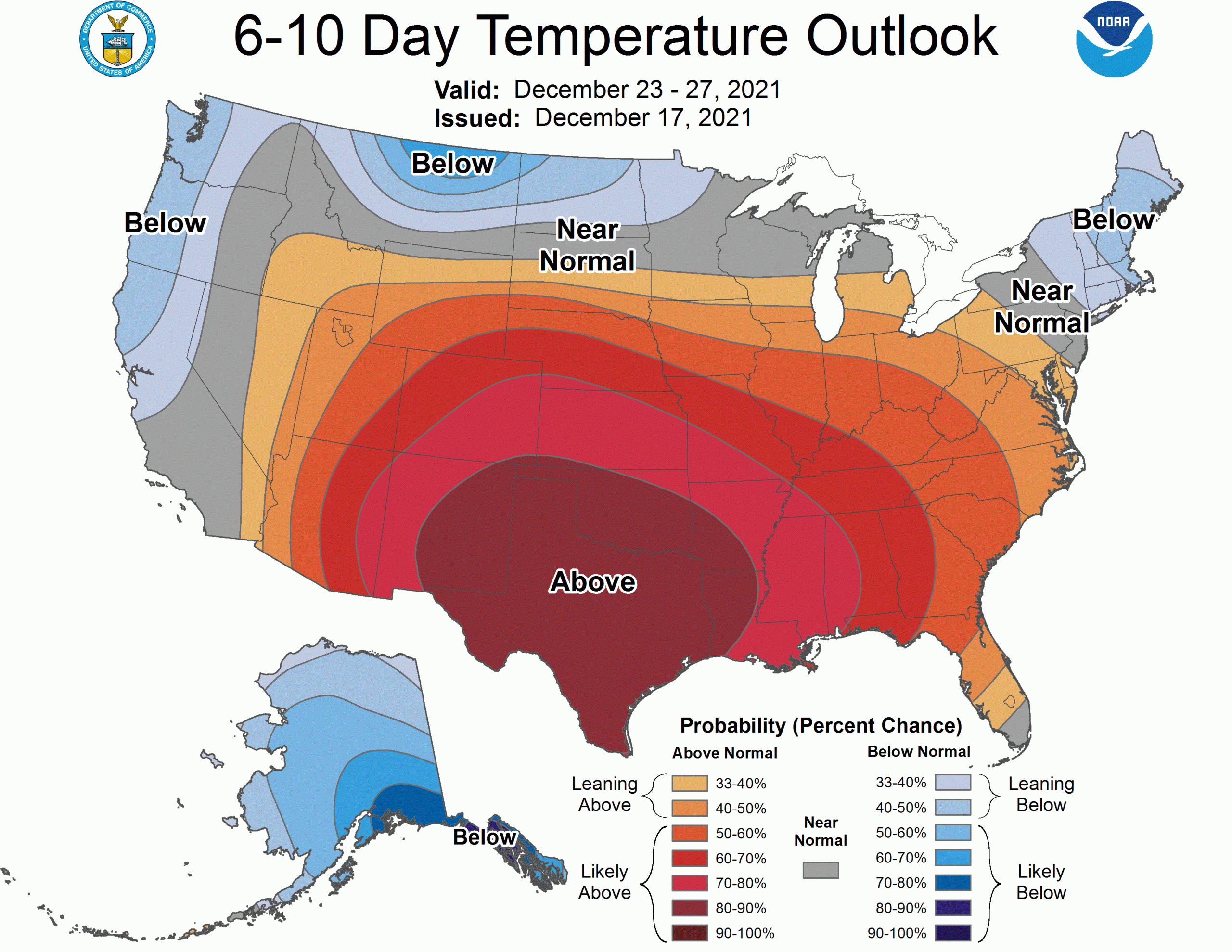
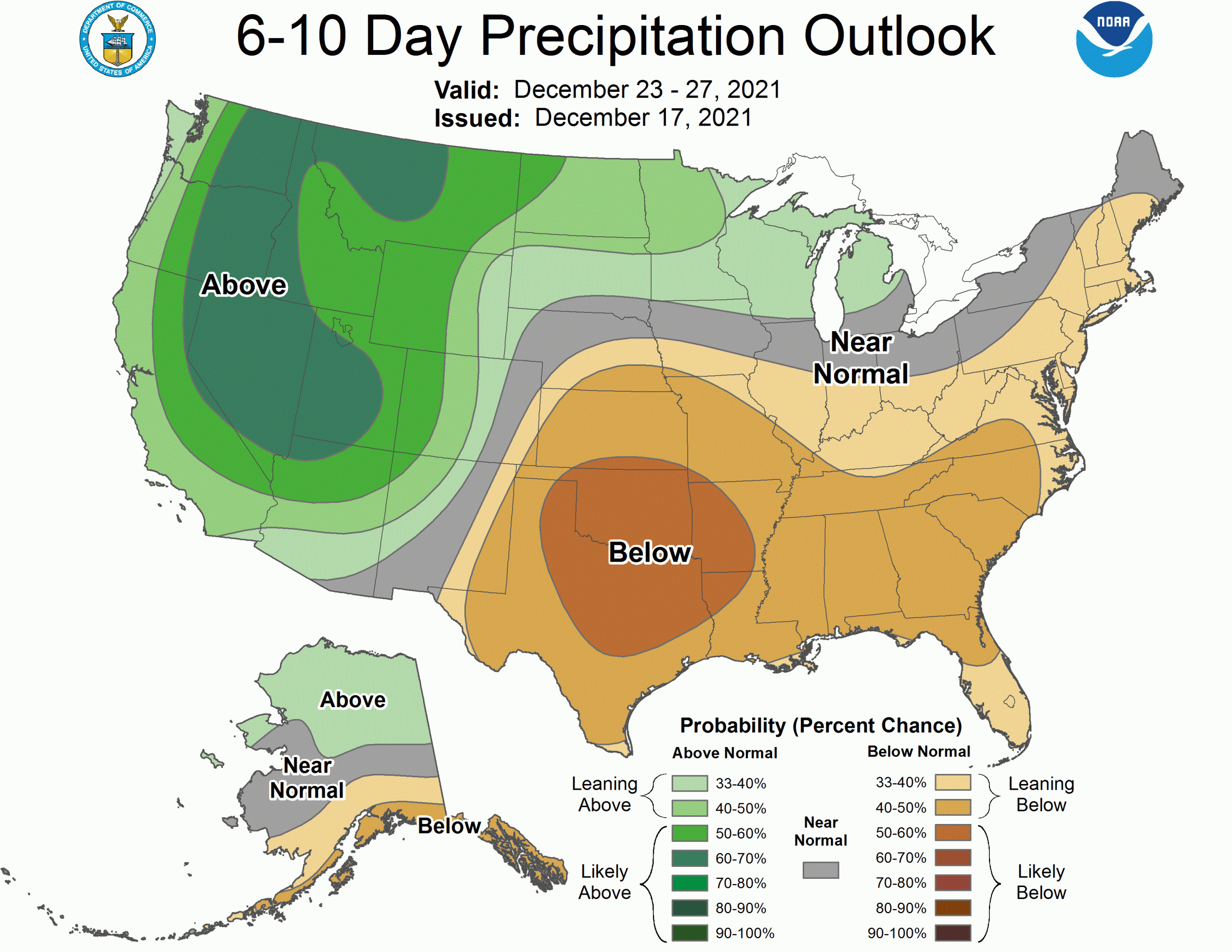
Ensembles suggest cooler weather is likely to stick around through the remainder of the calendar year. Chances at significant snow are absent from the forecast for now, but there is some potential for a small storm just after Christmas to bring accumulating snow to the area.
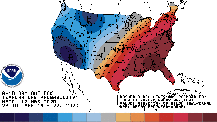
The CPC outlooks show that generally cool and dry conditions are likely to close out the month:
