The back end of a powerful winter storm impacting the Western U.S. will bring snow and cold temperatures to local resorts.
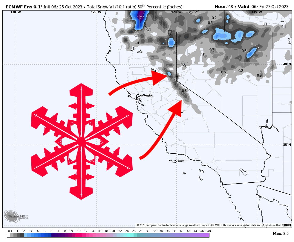
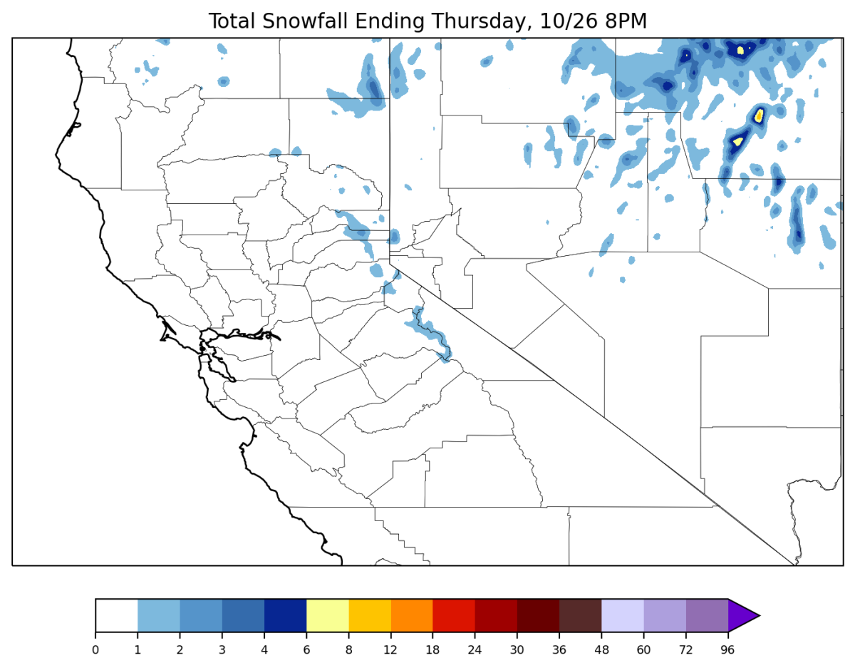
The precipitation will work its way from north to south, starting in the northern Lake Tahoe basin on Wednesday afternoon. Precipitation rates will peak on Wednesday evening before things move out completely by Thursday morning.
Totals will not be particularly impressive, since this storm will move through fast and will lack the ideal alignment of moisture and vertical motion. The higher-elevation resorts in the Lake Tahoe region (Palisades Tahoe, Sugar Bowl, Mt. Rose, Kirkwood) should see 1-3″ with the highest totals located furthest west, meaning Palisades or Sugar Bowl should see the biggest totals. Lower elevation resorts will at least see a dusting or up to an inch or two.
Mammoth is situated too far south to get meaningful snowfall from this storm; chances are they will only see a dusting or at most an inch or two.
Cold temperatures will remain in place through the weekend, which should make for good snowmaking conditions.
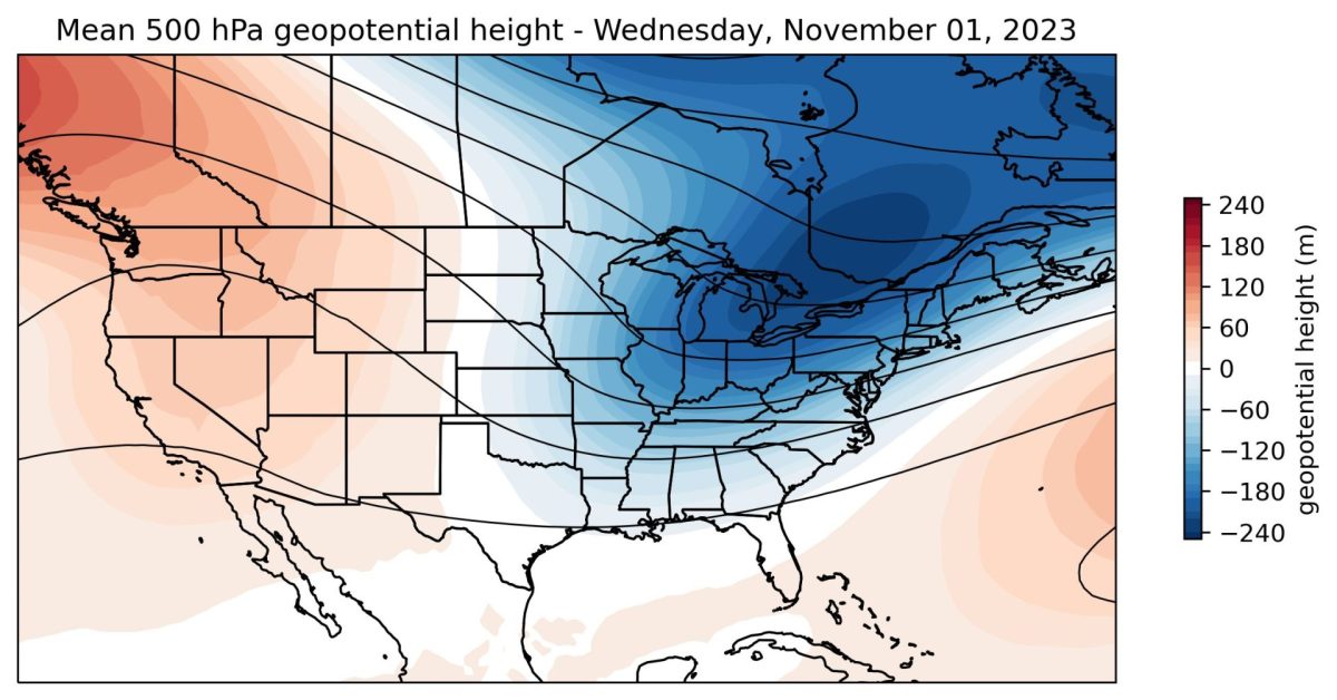
Looking ahead, high pressure and stable weather returns this weekend into early next week. Temperatures will spike back above average next week. Models are indicating this ridge along with warm, dry weather will likely stay in place for quite some time; the end of October and the first week or two of November do not look great for snowfall. Models are not showing any sign of this dry weather breaking down over the next 2+ weeks; the uncertainty in this forecast is when this ridge will actually give way to stormier conditions.
We will keep you posted if the forecast changes and opportunities for snowfall return to California!