Updated 11 PM Tuesday, Dec. 6th
Forecast Summary
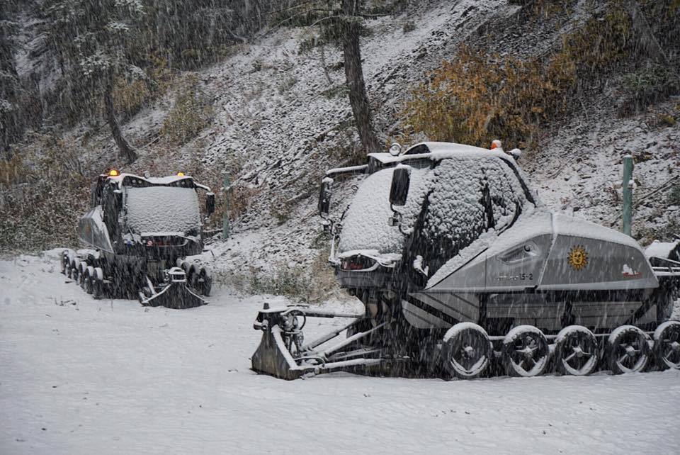
Fairly heavy snow has fallen over most resorts across northern Colorado in the last two days, bringing great skiing & riding conditions.
Continued active weather will bring additional freshies to the Centennial State, spreading the goods southward into the San Juans too. Periods of snow will continue across the high terrain until Thursday afternoon.
The long-range forecast is favorable, with more chances for snow early next week and again near the middle of December.
Recent Snow Totals
Snow began across the ski country early Monday morning and has continued since. As of late Tuesday night, the best totals have fallen over the northern mountains, the Sawatch, and the Elks. I-70 resorts got in on the action, too, to a lesser extent:
Loveland – 10″
Steamboat – 11″
Winter Park – 11″
A-Basin – 8″
Keystone – 5″
Vail – 6″
Eldora – 7″
Aspen Snowmass – 7″
Crested Butte – 4″
San Juan Resorts – 0″ (so far)

Short Term Forecast
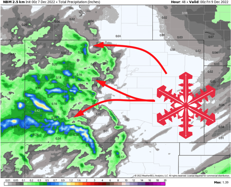
Snow will shift to focus on the southwestern and central chunks of Colorado through the day Wednesday. On Wednesday, expect the best accumulations at resorts like Telluride, Wolf Creek, Crested Butte, and Purgatory, while the I-70 resorts see more showery snow and lighter accumulations.
A cold front will begin to sweep across the state by early Thursday morning. This will shift the focal point for snowfall back toward the northern and central parts of the Colorado Rockies, bringing renewed snowfall to resorts in the north half of the state.
Snow will taper off around midday Thursday. By then, look for the following additional snow totals:
I-70 Resorts: 2-5″, mostly falling Wednesday night into Thursday morning.
San Juan Resorts (Telluride, Purgatory, Wolf Creek): 7-11″, mostly falling on Wednesday.
Steamboat: 5-10″, mostly falling early Thursday morning.
Aspen: 4-8″
Crested Butte: 3-6″
Wednesday and Thursday should be decent ski days, regardless of which resort you hit. If you’re seeking pow turns, farther south is best on Wednesday, and farther north will be better on Thursday.
Long Range Prospects
After this storm clears out, there will be a couple more shots at snow to look forward to.
A potentially stronger storm looks to move into the area early next week and could bring more solid accumulations to Colorado’s ski areas.
After that, ensembles suggest another shot at appreciable snowfall near the middle of the month.
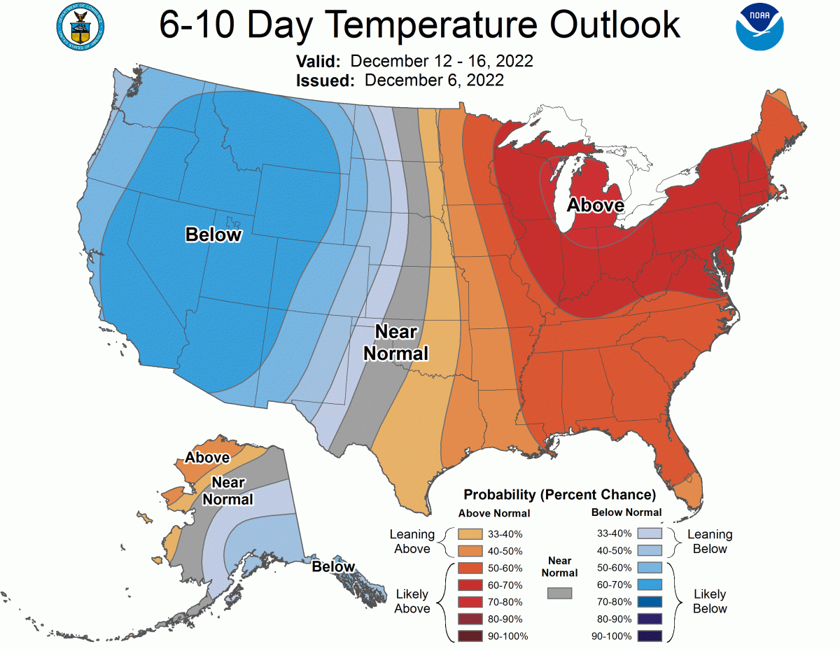
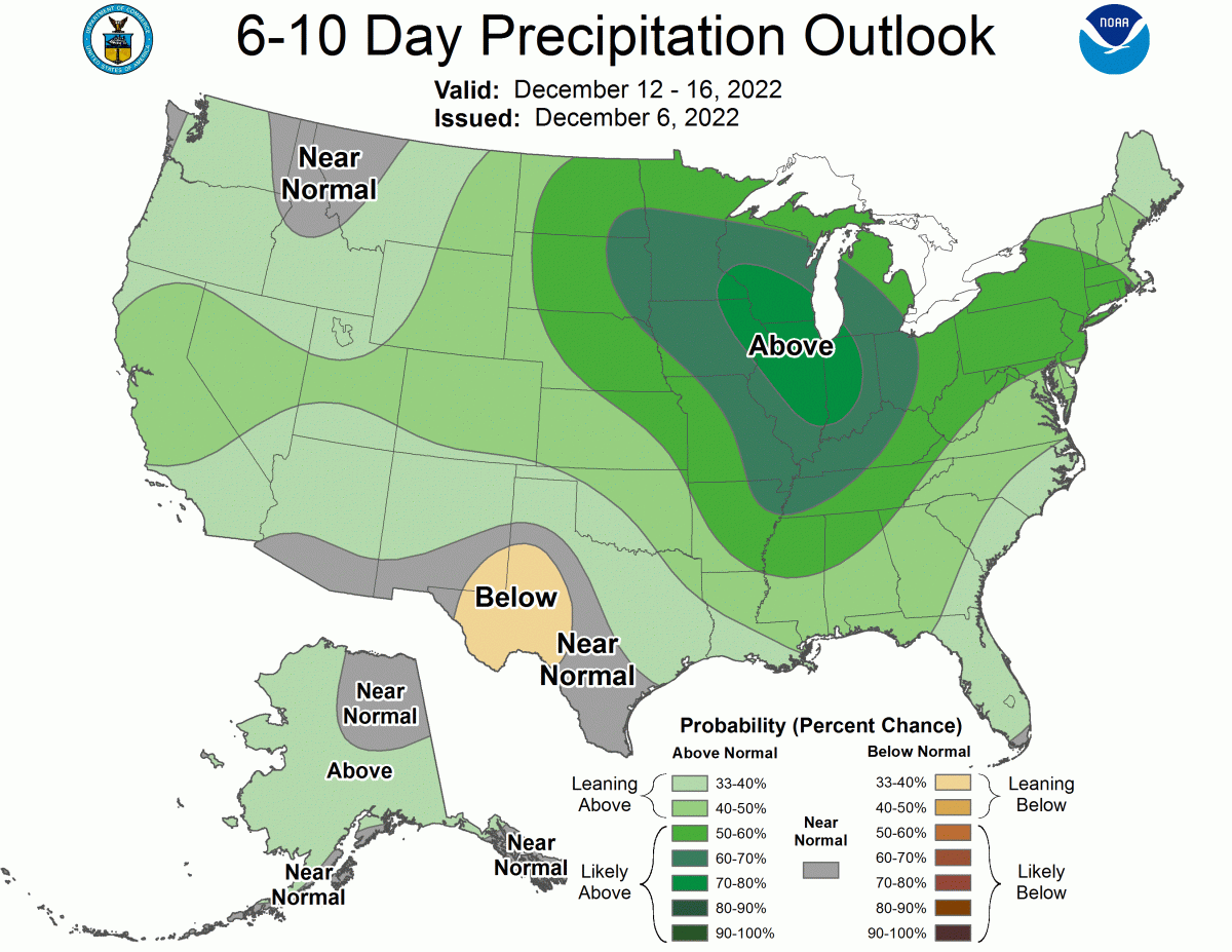
The CPC’s long-range outlooks lean toward cool and wet weather across most of the West, ideal for ski areas.
Enjoy the pow!