This forecast was created at 7:30 a.m. on Tuesday, February 4
An extended stretch of unusually warm conditions will give way to a more active pattern by midweek for Utah, with a minor midweek frontal passage quickly followed by a stronger system heading into Friday and Saturday. Temperatures will remain higher than normal through midweek before trending cooler this weekend, bringing better chances for snow across the high terrain. Below-normal temperatures may develop toward the middle of next week, supporting additional opportunities for snowfall.
Winds will remain quite gusty and temperatures unseasonably warm through midweek. Afternoon highs in many valleys will hover near or above record values, especially through Wednesday morning. Breezy southerly flow will dominate as a weak disturbance skirts northern Utah on Wednesday. While it will bring light snow mainly to the mountains, any precipitation in lower elevations is likely to remain as rain given the warm air mass. Snow amounts look modest from this wave, generally a few inches or less in the higher elevations.
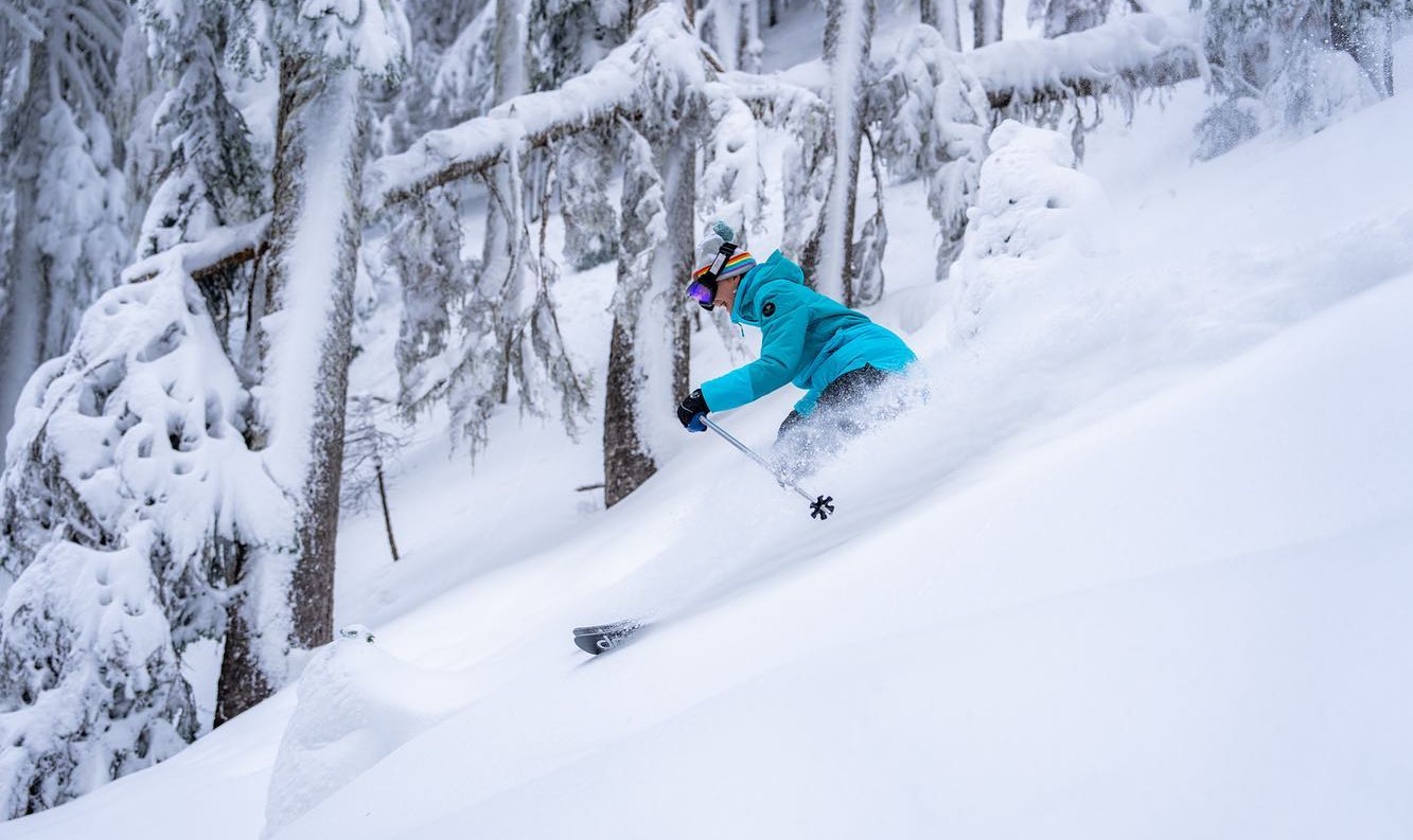
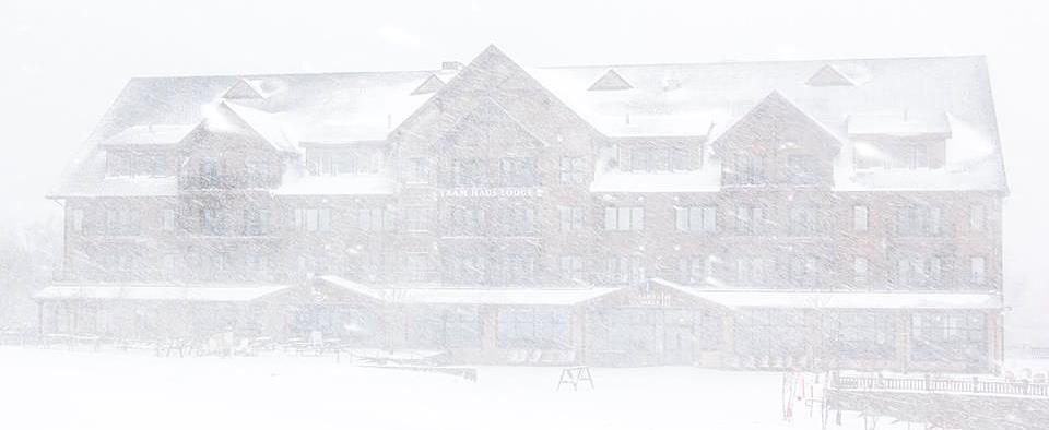
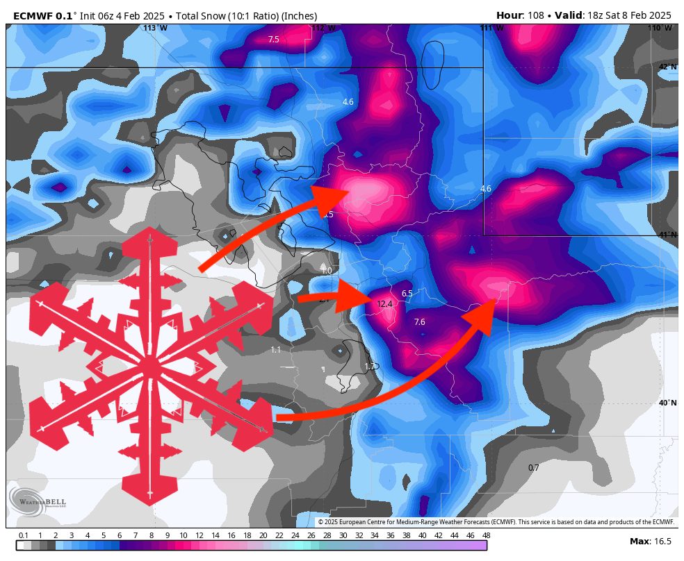
A more defined system arrives Thursday night into Friday and continues into early Saturday. This storm will feature cooler temperatures, stronger winds aloft, and deeper moisture. Snow levels will start above most valleys but should lower over time, ending up near or just below many resort bases by early Saturday. The biggest accumulations are expected in northern Utah’s favored upslope areas. Mountain snowfall could be moderate to locally heavy, especially through Friday night, with totals in the 6–12+ inch range across upper elevations. Winds could also be quite strong at times, enhancing ridge-top gusts and creating periods of challenging conditions for upper lifts.
Lingering orographic snowfall may persist into Saturday. By the latter half of the weekend, temperatures should settle closer to seasonal norms, and any additional snow showers will be spotty and relatively light. Looking farther ahead into early next week, there are hints that a continued unsettled pattern might keep cooler temperatures and occasional light snow chances around northern Utah. Overall, there is growing potential for a more active, colder regime in the extended outlook, which could help improve base depths across the higher terrain.
Resort Forecast Totals (mid-mountain)
- Alta/Snowbird – 8”–15” total (1”–3” Wed (02/05) – Wed night (02/05) + 7”–12” Thu night (02/06) – Fri night (02/07))
- Solitude/Brighton – 8”–15” total (1”–3” Wed (02/05) – Wed night (02/05) + 7”–12” Thu night (02/06) – Fri night (02/07))
- Powder Mountain – 7”–14” total (1”–3” Wed (02/05) + 6”–11” Thu (02/06) – Fri night (02/07))
- Park City/Deer Valley – 5”–12” total (0–2” Wed (02/05) – Wed night (02/05) + 5”–10” Thu night (02/06) – Fri night (02/07))
- Eagle Point – 2”–5” Fri (02/07) – Fri night (02/07)