Forecast written by Clay Malott on August 18th, 2022, 10 pm PST
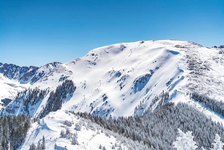
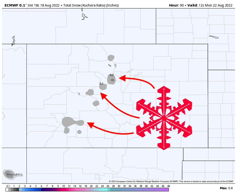
Late this week and weekend, a weak low-pressure system will move through Colorado, bringing the first significant snowfall of the 2022-2023 season. The snowfall will be relegated to points mostly above 14,000 feet, although snowflakes are possible at times down to 13,000 feet.
Nailing down the exact timing of the snowfall is quite difficult. The snowfall will be embedded in a large-scale surge of moisture that will bring fairly consistent rainfall across the state. Very small fluctuations in temperatures, humidities, and vertical atmospheric motion can all dictate whether precipitation falls as snow, sleet, or rain. Unfortunately, our models are not high-enough resolution or accurate enough to nail these microphysical processes, so can only give us a general idea of when snow may fall. The best odds for snowfall in Colorado’s upper mountains will be on Friday morning into the afternoon and another window may appear sometime during the same time frame on Saturday.
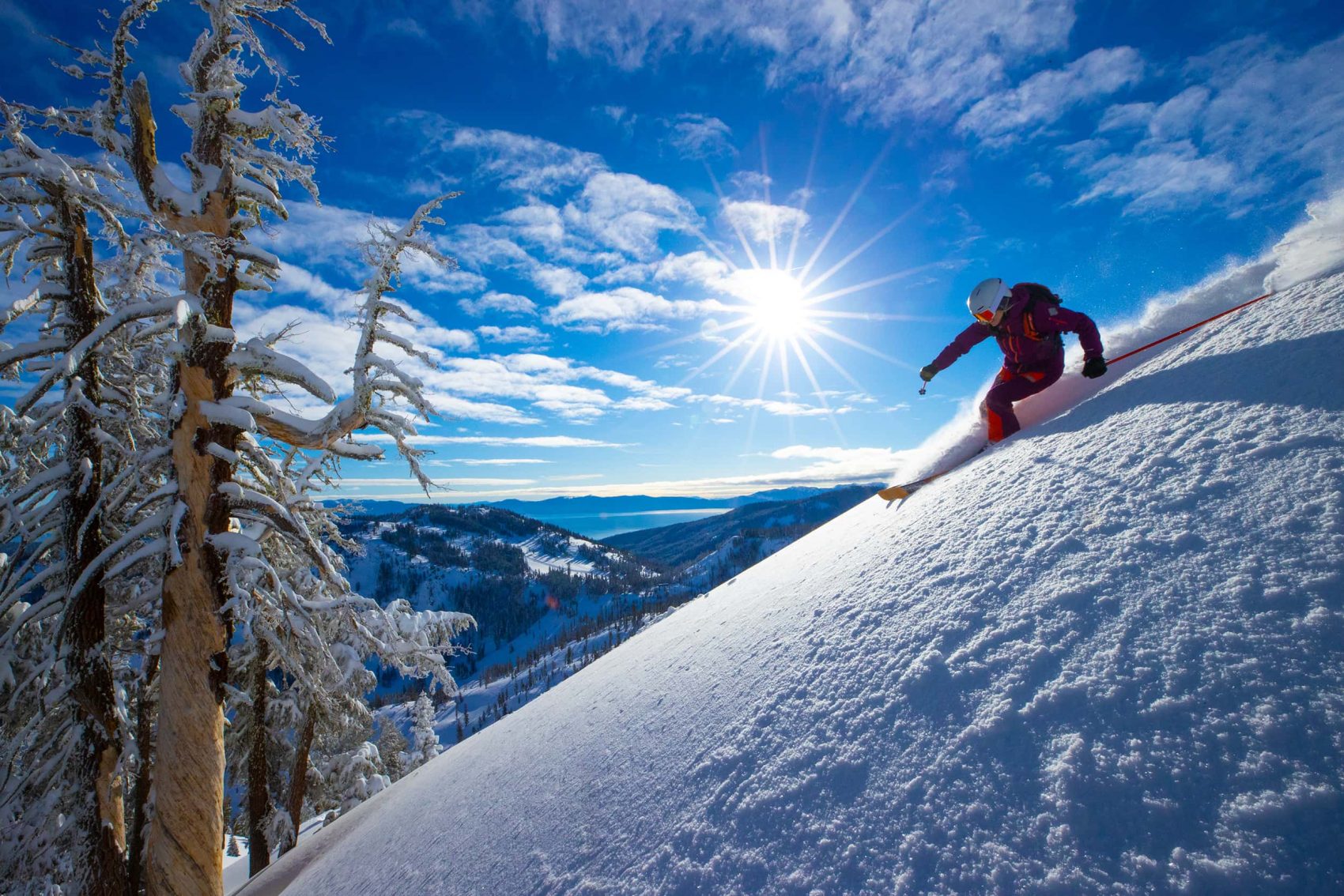
Since the snowfall will be embedded within a larger liquid precipitation swath, it may not accumulate and will certainly not survive more than a few hours before being washed away from the rain. Since the surface will be wet from rainfall before the snow, it will prime the ground to rapidly evaporate snowfall as soon as it hits the ground. If it does survive hitting the ground, it will be washed away minutes or hours later by rain. Flakes will fly, but accumulations are unlikely. Don’t worry, ski season is coming soon!
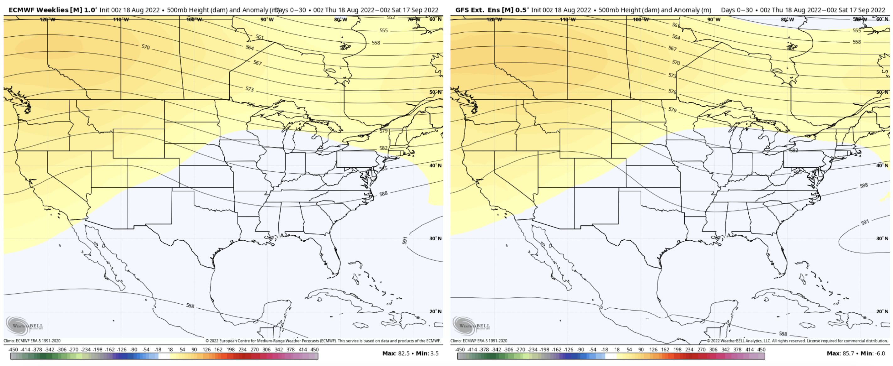
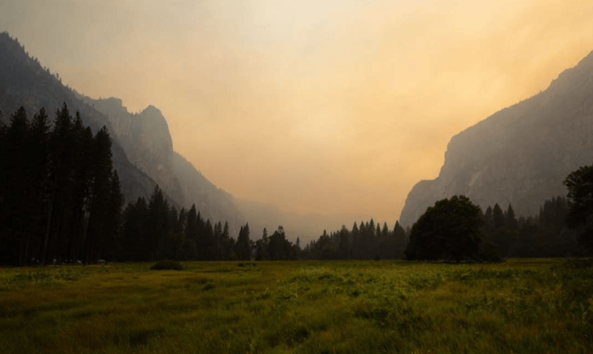
Looking ahead into the rest of August and September, global ensembles are showing good agreement that things in the West will remain high and dry for the foreseeable future. Of course, big storms could certainly still roll through and drop more snow, but temperatures will likely be above average and precipitation below average during the next month.
