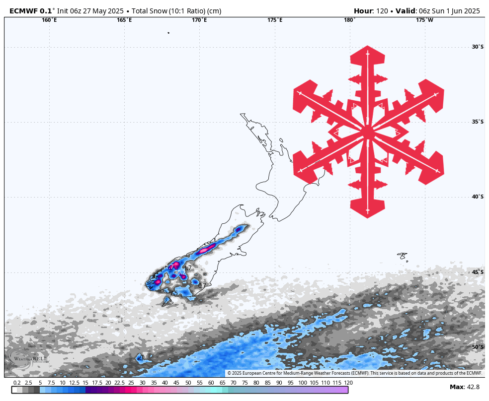
A pair of modest early-season systems will brush the Queenstown–Wanaka resorts between Wednesday night and Sunday, delivering up to 6″ of dense, wind-whipped snow. The mid-week pulse starts warm and light, then a stronger westerly surge on Friday drops snow levels, bumps accumulations a bit, and cranks up ridge-top winds that may affect lift operations.
Wednesday night into Thursday brings the first ripple of moisture out of the south. Snow levels hover near 5,000 feet early—above the bases at Cardrona and Coronet Peak—so expect a rain–snow mix on the lower mountain before levels slip to roughly 4,700 feet by Thursday afternoon. Snow-to-liquid ratios sit in the 7-to-9:1 range, pointing to heavier, creamier snow rather than blower powder. Most areas pick up only 1″–3″ by Thursday night, enough to freshen groomers but not overhaul the early-season base.
A sharper, colder westerly front arrives on Friday and lingers through Saturday night (Sunday at The Remarkables). Temperatures fall into the mid-20s at elevation while snow levels plunge near 2,700 feet on Friday, then rebound toward 4,500 feet by Saturday afternoon. Ratios again hover in the 6-to-9:1 zone. Totals during this wave range from 1″–2″ at Cardrona to 2″–4″ at The Remarkables, where slightly better orographics give a small edge.
Winds will be the bigger story with the late-week system. Westerly ridge-top speeds peak near 35 mph with gusts topping 70 mph on Friday night, especially for the higher Remarkables terrain. Expect wind-holds on upper lifts and drifting that concentrates new snow in lee pockets. Cardrona and Coronet Peak see slightly lower gusts in the 40s.
By Sunday afternoon the pattern dries out, leaving a thin blanket of new snow and a return to settled weather. Surface conditions will improve where grooming can mix the fresh flakes with the underlying base, but off-piste coverage remains limited. Another chance of meaningful snowfall does not appear until mid-next week.
- The Remarkables – 3″–6″ total (1″–2″ Wed night (05/28) – Thu night (05/29) + 2″–4″ Fri (05/30) – Sun (06/01))
- Cardrona – 2″–5″ total (1″–3″ Wed night (05/28) – Thu night (05/29) + 1″–2″ Fri (05/30) – Sat night (05/31))
- Coronet Peak – 1″–3″ Fri (05/30) – Sat night (05/31)