Forecast By SnowBrains Chief Meteorologist – Eric McNamee
8:30 PM MST, 9/27/2021
Forecast Summary:
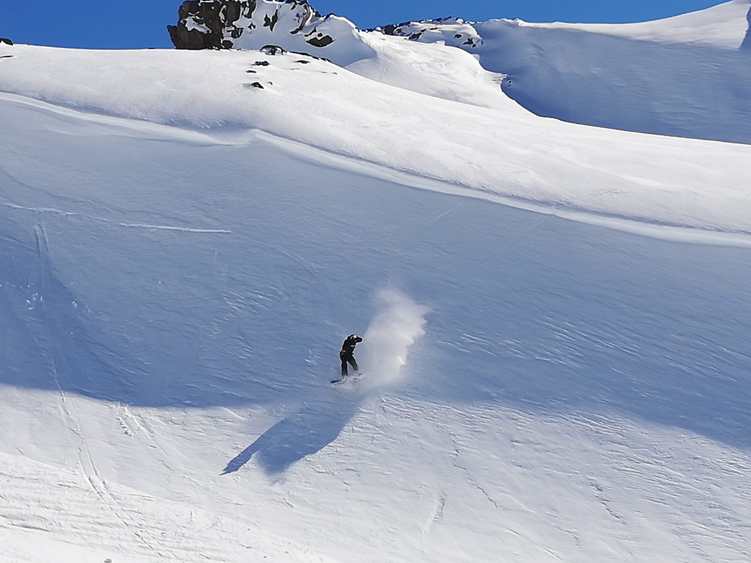
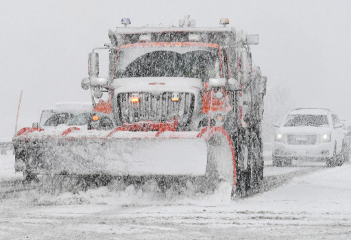
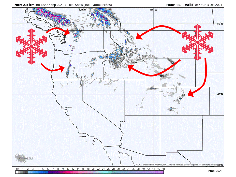
A couple of systems across the west will bring some early season snow this week.
A trough digging into the northwest will bring snow to the higher elevations of the Cascades and Northern Rockies.
A closed low over the four corners will draw in moisture from the Gulf of California and bring snowfall to higher peaks in Colorado.
Pacific Northwest:
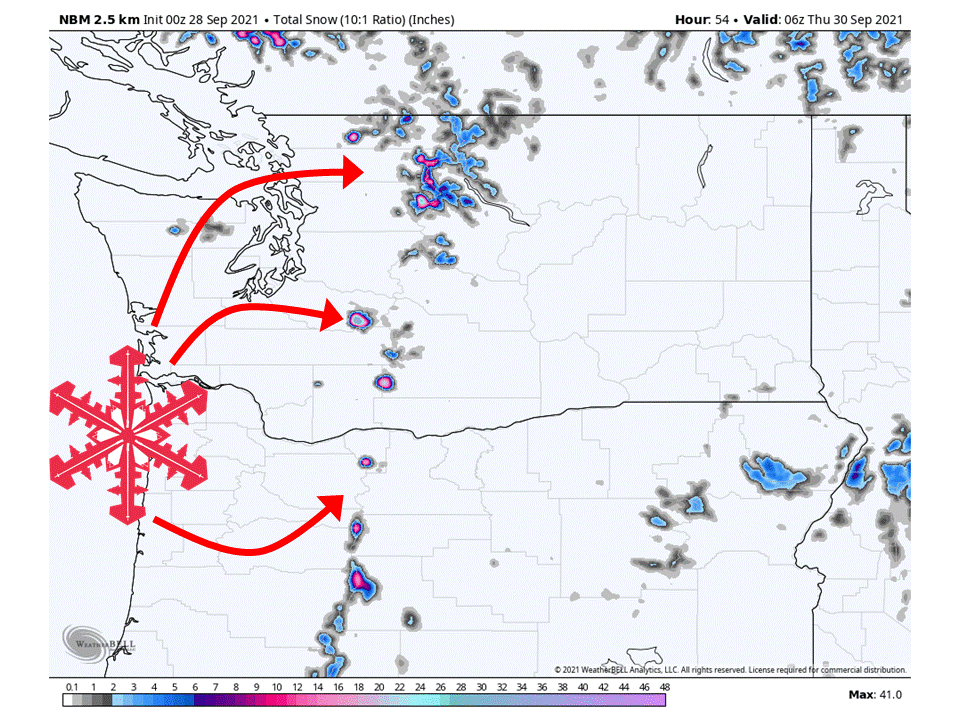
A deep and cold trough digging into the region will bring snow to the high elevations of the Cascades early this week.
Snow that is already falling will pick up tonight and continue through the day tomorrow and Wednesday.
Snow levels will be pretty high but deep, with 1-3 FEET possibly accumulating on top of the volcanoes and the northern Cascades.
Northern Rockies:
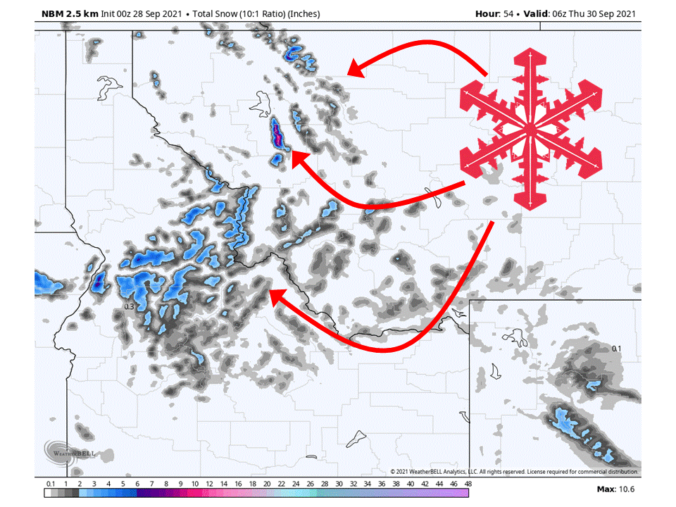
The same trough will dig further into the western US and bring snow to the Northern Rockies.
Snowfall totals across the Northern Rockies will be lighter than what is expected in the Cascades, but 6-12″ of the white stuff could pile up over northern Idaho and western Montana.
Colorado:
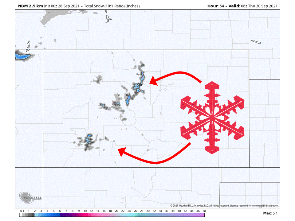
Colorado will get in on the action tomorrow and Wednesday as a closed low draws in moisture from the Gulf of California.
Snow will be mostly confined to the higher peaks since the air mass associated with the low will be pretty warm.
However, 3-8″ of snow is possible in spots.
USA:
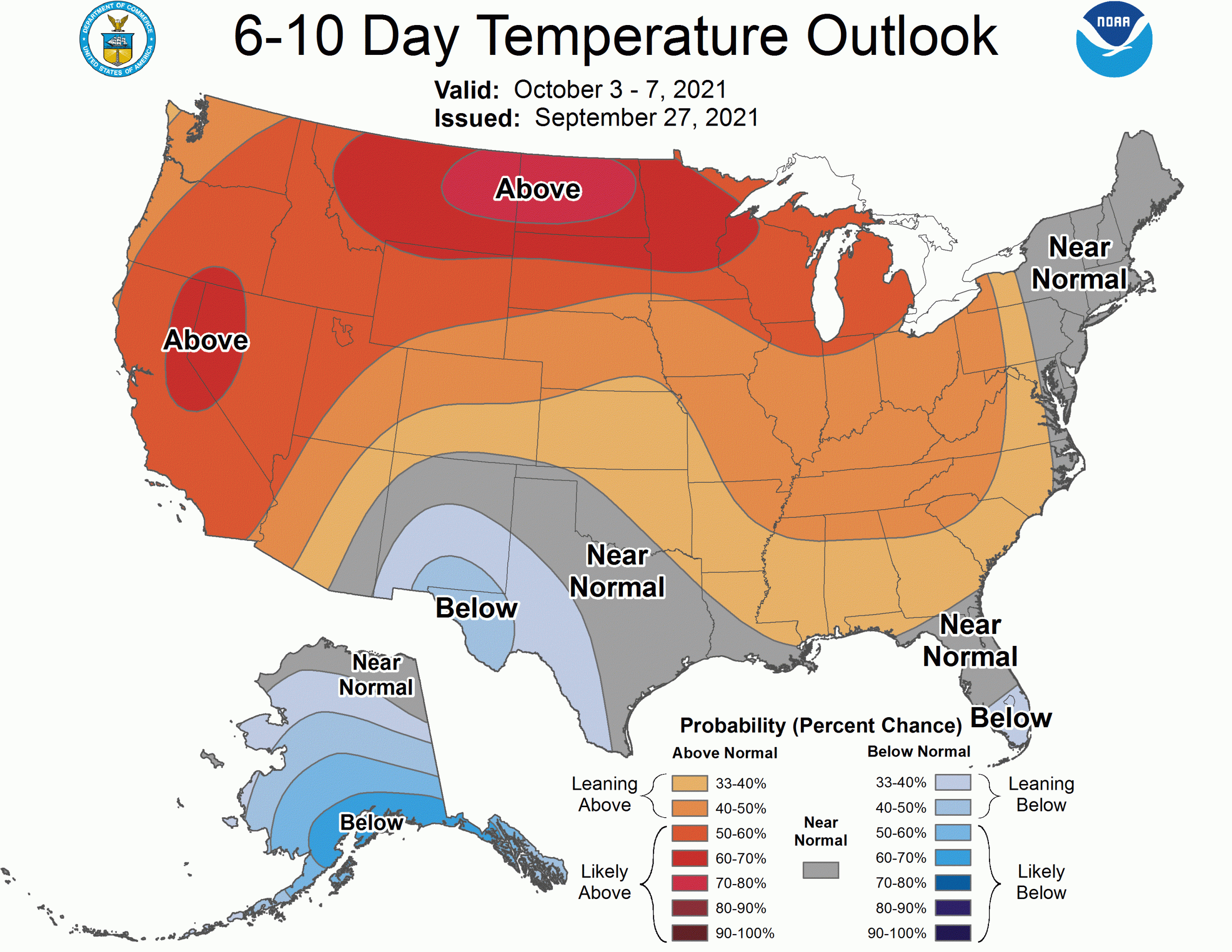
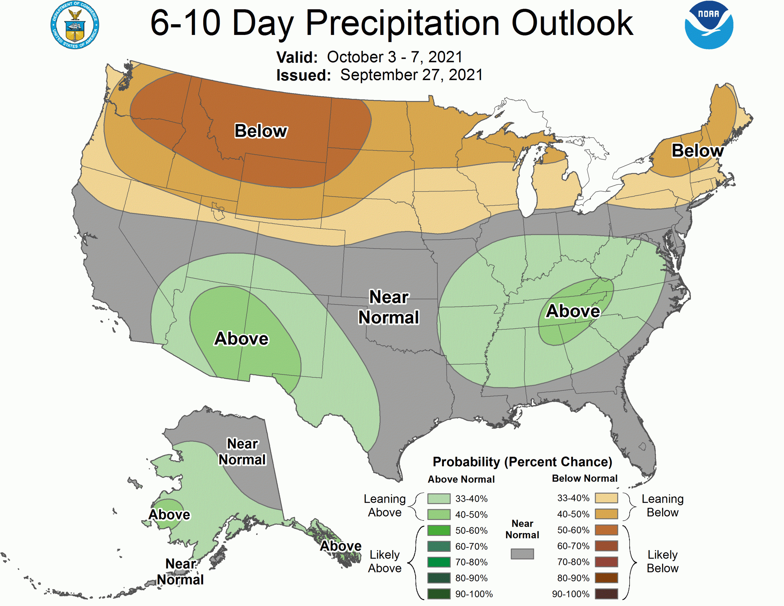
Global ensembles indicate that conditions will return to above-average temperatures over most of the West, with below-average precipitation in the northwest and above-average precipitation over the southwest in the long term.
