This forecast was created at 3:30 p.m. PST on Saturday, May 24, 2025.
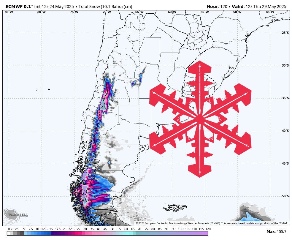
A moisture-laden northwest flow will sweep across the central and southern Andes from Sunday through Tuesday, delivering up to 21″ of fresh snow and kick-starting the region’s early-season snowpack. A dense burst of heavy, wet snow arrives first, followed by progressively colder air that lowers snow levels and improves snow quality into the fluffy 13-to-15:1 range by late Monday night. Winds peak Sunday night with gusts near 60 mph at Corralco, then ease as the storm matures.
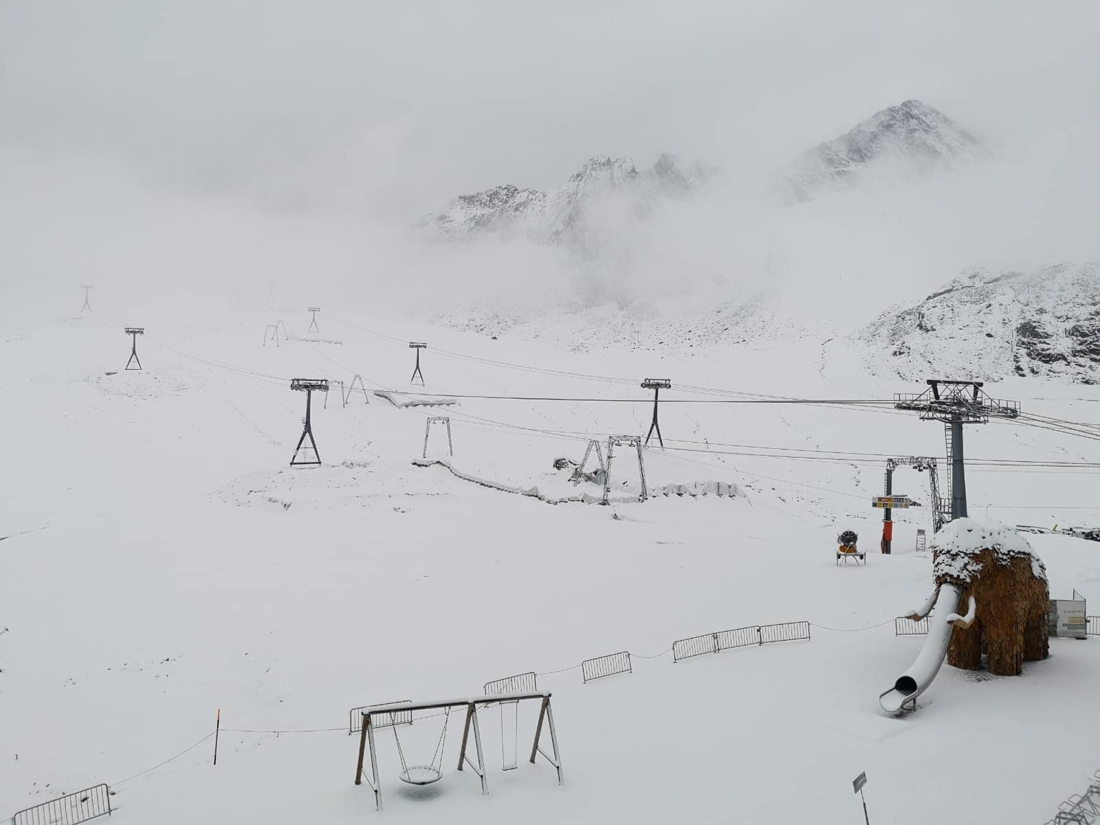
Moisture pushes onshore Sunday morning, spreading heavy, dense snowfall across the southern Chilean volcanoes. Snow levels start around 6,100 feet at Nevados de Chillán and 5,400 feet at Corralco, meaning rain or a sloppy rain-snow mix may flirt with their base areas early in the event. SLRs of 3–5:1 reflect the high water content, and 30-plus mph northwest winds will make the first wave a wet and turbulent one—but vital for locking in the lower mountain base.
By Sunday night the storm’s core settles over central Chile and western Argentina, dropping temperatures and cranking out the bulk of the totals. SLRs jump into the 10–13:1 range, turning the snow noticeably drier. Portillo, Valle Nevado, El Colorado, and La Parva—all well above 7,500 feet—sit entirely below the snow line and rack up 5–8″ overnight. Farther south, Nevados de Chillán and Corralco cash in on sustained orographic lift, adding 8–12″ in that same window despite lighter winds.
Colder air digs in Monday and Monday night, dropping the snow line toward 3,700 feet and wringing out a final round of light, powdery accumulations. Las Leñas benefits most, with SLRs spiking to nearly 14:1 and another 6–8″ of low-density fluff stacking onto an already healthy base. The Santiago trio adds 3–5″ of cold, dry snow, while winds ease below 20 mph, helping the fresh layer bond.
The system tails east on Tuesday, leaving scattered snow showers for Patagonia and a faint brush of flurries at upper elevations. Chapelco and Cerro Catedral squeeze out just 1–2″, and a faint dusting reaches low-latitude Cerro Castor—enough to whiten the slopes but not a headline event. By Tuesday night, the Andes stand noticeably whiter from Las Leñas southward, with the deepest coverage centered on Nevados de Chillán.
Resort-by-Resort Snowfall Totals
- Nevados de Chillán – 14″-21″ Sun (05/25)–Mon night (05/26)
- Las Leñas – 11″-18″ Sun night (05/25)–Tue (05/27)
- Portillo – 8″-13″ Sun night (05/25)–Tue (05/27)
- Corralco – 7″-11″ Sun (05/25)–Tue (05/27)
- Valle Nevado – 6″-10″ Sun night (05/25)–Tue (05/27)
- El Colorado – 6″-10″ Sun night (05/25)–Tue (05/27)
- La Parva – 5″-8″ Sun night (05/25)–Tue (05/27)
- Cerro Catedral Alta Patagonia – 3″-5″ Sun (05/25)–Mon night (05/26)
- Chapelco – 1″-3″ Sun night (05/25)–Mon night (05/26)
- Cerro Castor – 1″-2″ Mon (05/26)–Tue night (05/27)