Forecast By SnowBrains Chief Meteorologist – Eric McNamee
8:35 pm MDT, 5/19/2022
Forecast Summary:
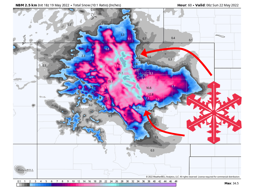
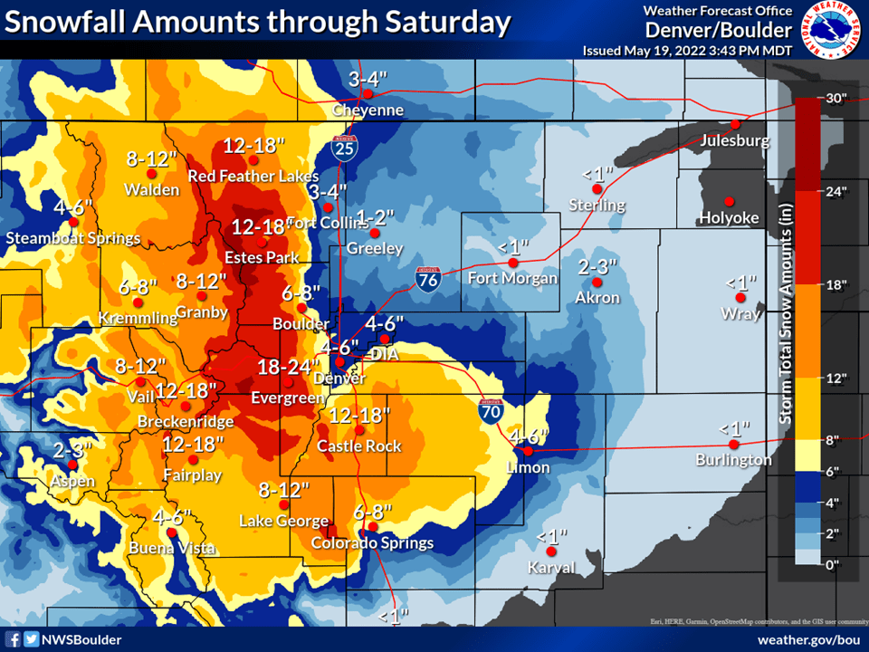
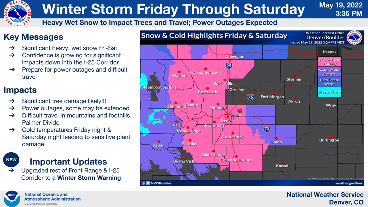
A trough will push through Colorado and bring 1-2 FEET of snow to the Front Range through Saturday.
Snow will begin to fill in from the north Thursday night/Friday night and continue on and off through Saturday.
Snow will taper off during the afternoon/evening Saturday as the trough moves off to the east.
Resorts that will see the most snowfall are Arapahoe Basin and Winter Park.
Short-Term Forecast:
Thursday-Saturday:
A trough will push through Colorado and bring 1-2 FEET of snow to the Front Range through Saturday.
Snow will begin to fill in Thursday night and continue into Friday as a stout cold front pushes in from the north and west.
Snowfall rates will be the highest during the evening hours Friday and through Friday night.
Snow will then continue on and off through Saturday before tapering off Saturday night.
This has prompted the National Weather Service to issue Winter Storm Warnings and Winter Weather Advisories.
This will likely be the last decent snowfall event until the fall… enjoy!
Long-Term Forecast:
Sunday-Wednesday:
There looks to be a weak system Sunday/Monday that will bring some light snowfall, but that’s about it.
No significant snowfall is expected.
Extended Forecast:
Sunday and Beyond:
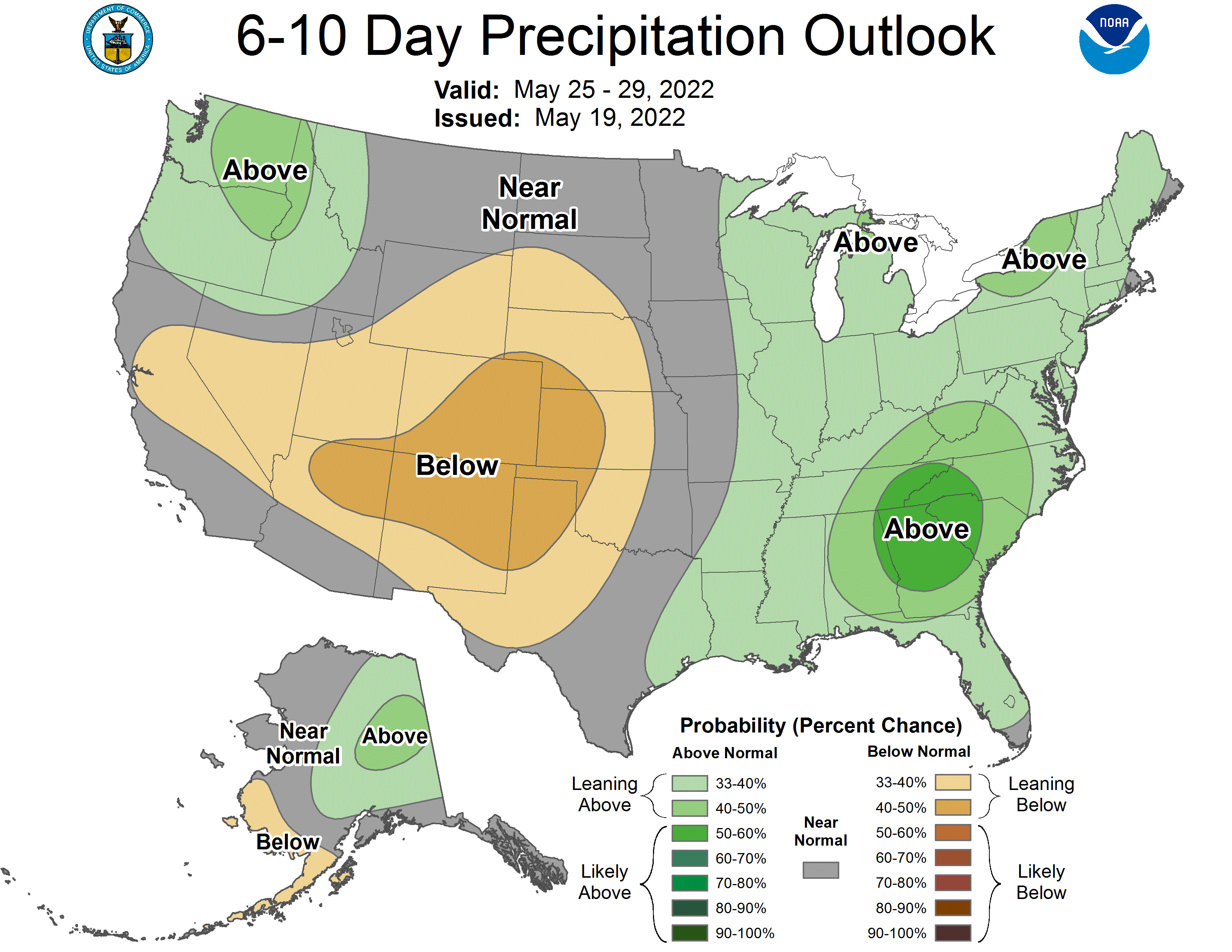
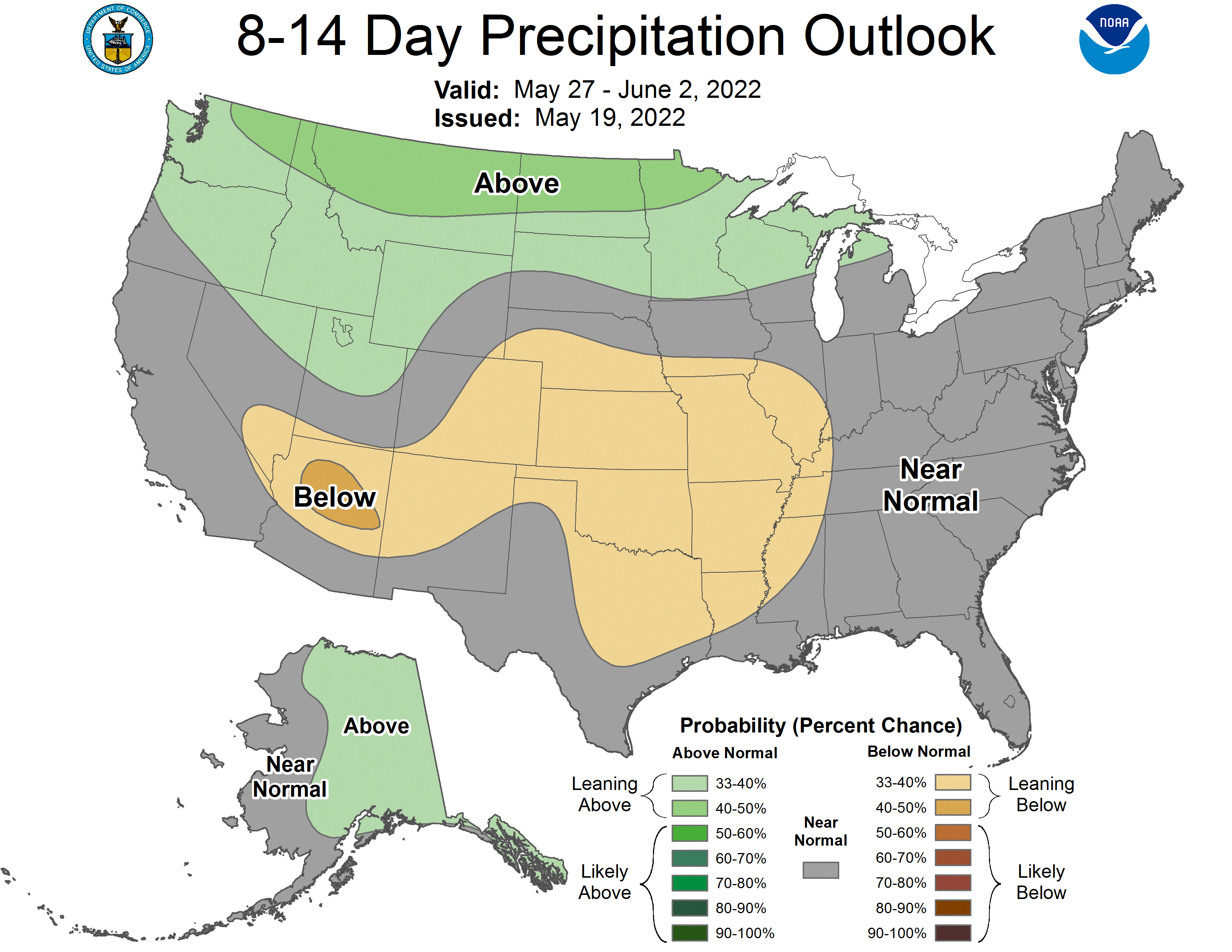
Global ensembles indicate below-average precipitation and above-average temperature across Colorado through the extended.
