Forecast By SnowBrains Cheif Meteorologist – Eric McNamee
8:45 PM MST, 8/13/2021
Forecast Summary:
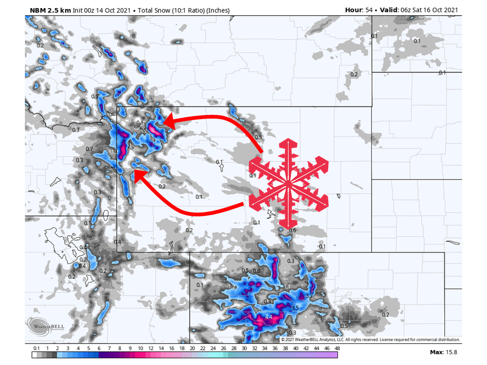
A quick-hitting trough will move through Wyoming Thursday/Friday and bring 6-10″ of snow to the Tetons through Friday.
Snow will initially start Thursday and continue on and off through Friday.
By Saturday a ridge of high pressure will build over the west and dry out conditions briefly before another storm hits the region.
The pattern looks to be quiet in the extended period.
Short-Term Forecast:
Wednesday-Friday:
A quick-hitting trough will move through Wyoming Thursday/Friday and bring 6-10″ of snow to the Tetons through Friday.
Snow will begin Thursday morning and continue on and off through Friday as unstable northwest flow generates snow over the Tetons.
By Friday evening conditions will dry out as a ridge of high pressure builds over the western US.
This has prompted the National Weather Service to issue a Winter Weather Advisory for the area.

Long-Term Forecast:
Saturday-Tuesday:
A brief break in the action is expected on Saturday as a ridge of high pressure builds over the west before another system moves into the region.
Right now snowfall totals are uncertain but look like they will be relatively light at this moment.
Extended Forecast:
Tuesday and Beyond:
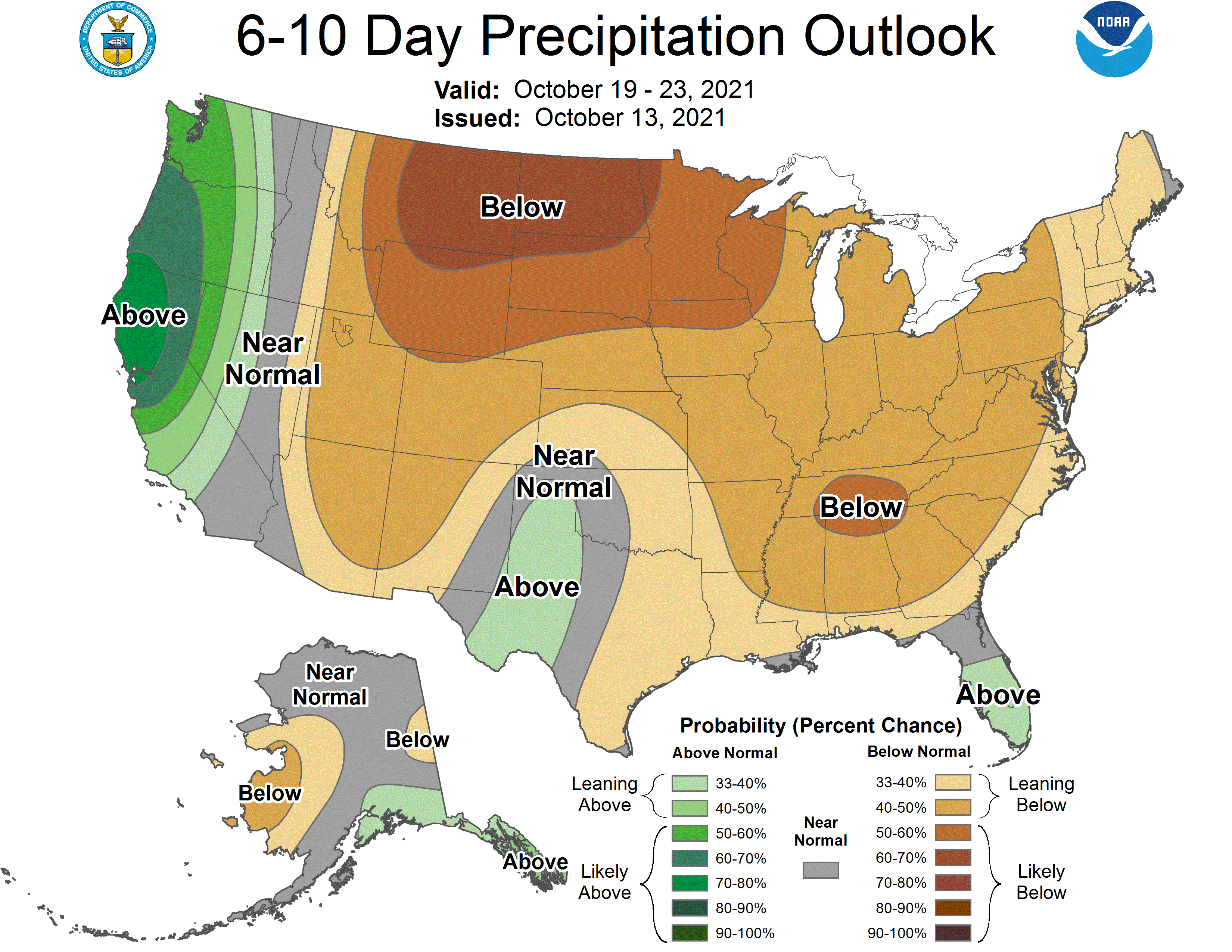
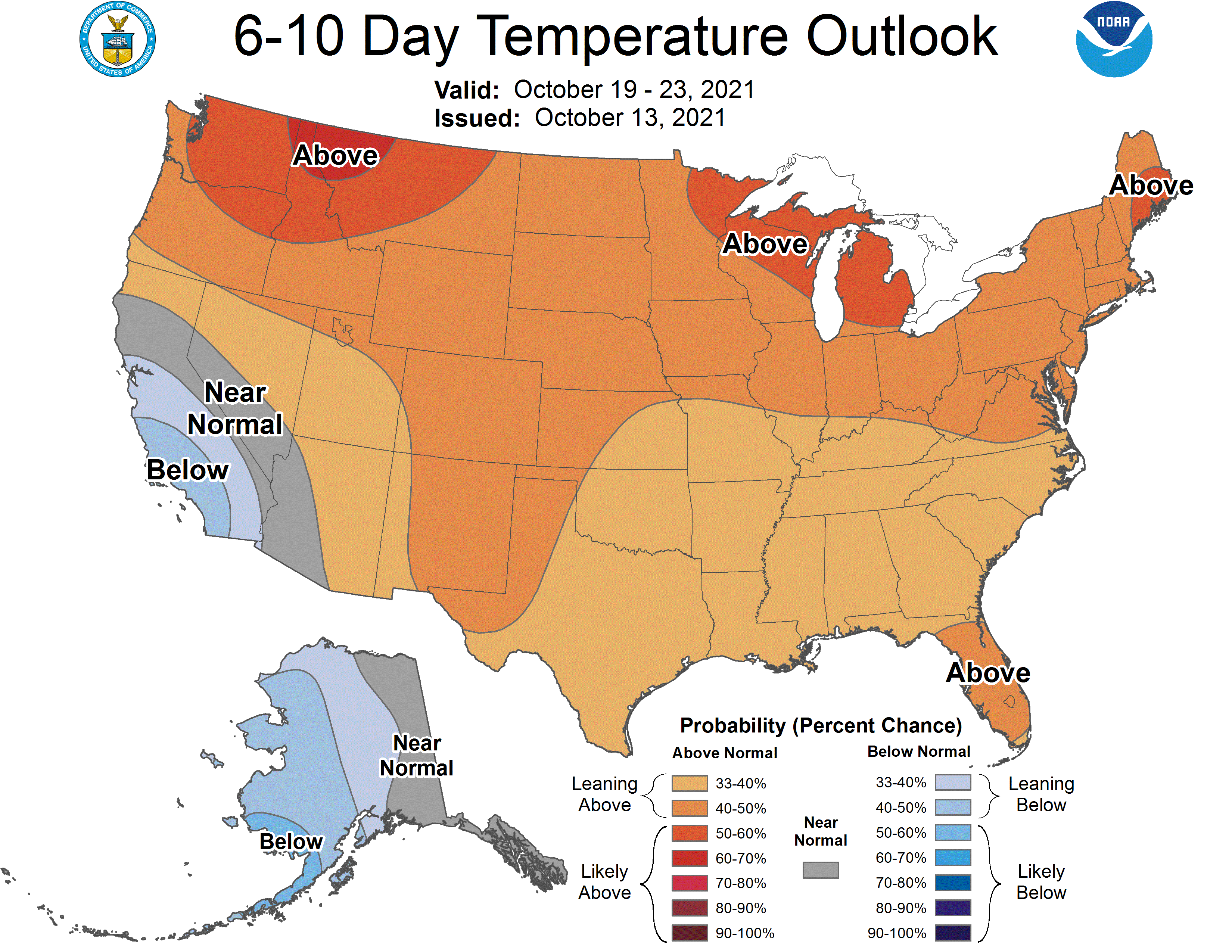
Global ensembles are indicating below-average precipitation across the region in the extended with above-average temperatures.

