Forecast By SnowBrains Chief Meteorologist – Eric McNamee
10:20 PM MST, 2/26/2022
Forecast Summary:
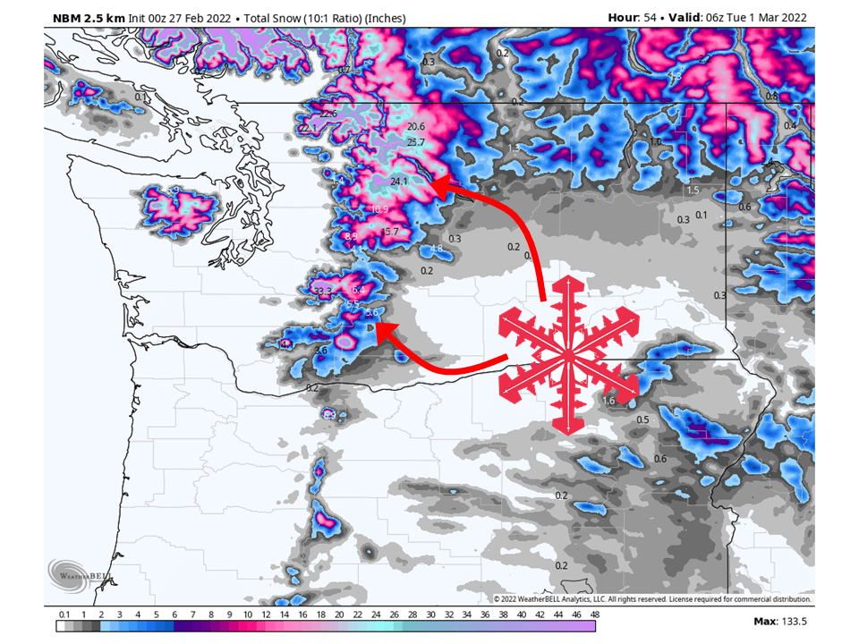
An atmospheric river will slam moisture into the Washington Cascades and bring 1-3 FEET of snow, with deeper totals higher in elevation through Tuesday.
Snow will fill in Sunday as the atmospheric river begins over the area
Snow will continue through the day Monday and Tuesday with the heaviest of snow coming Monday morning.
Resorts that will see the most snow are The Summit at Snoqualmie, Stevens Pass, Mount Crystal, Alpental, and Mount Baker.
Short-Term Forecast:
Sunday-Tuesday:
An atmospheric river will slam moisture into the Washington Cascades and bring 1-3 FEET of snow, with deeper totals higher in elevation through Tuesday.
As mentioned snow will fill in Sunday as the atmospheric river begins to hit the region.
Snow will continue through the day Monday and into Tuesday, with the heaviest of snow coming Monday morning.
This snow will continue on and off through Tuesday before tapering off Tuesday night.
Snow levels will initially start out around 4000-5000′ Sunday and rise to 6500-7000′ Monday afternoon before dropping back down to 4500-500′.

Long-Term Forecast:
Wednsday-Saturday:
Snow will linger into mid-week as weak shortwave troughs move through the area.
Totals will be on the lighter side but cold and unsettled weather will continue through the week.
Extended Forecast:
Saturday and Beyond:
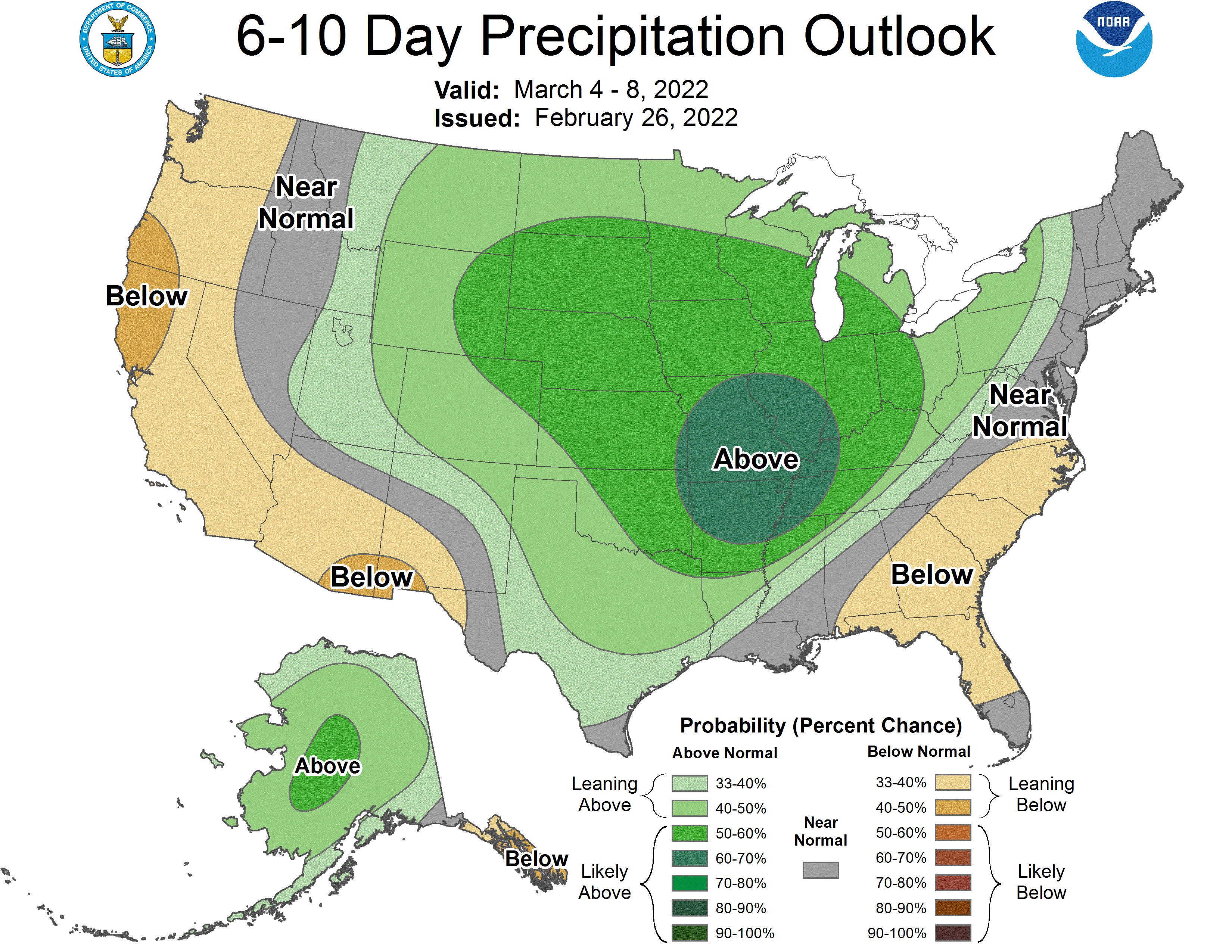
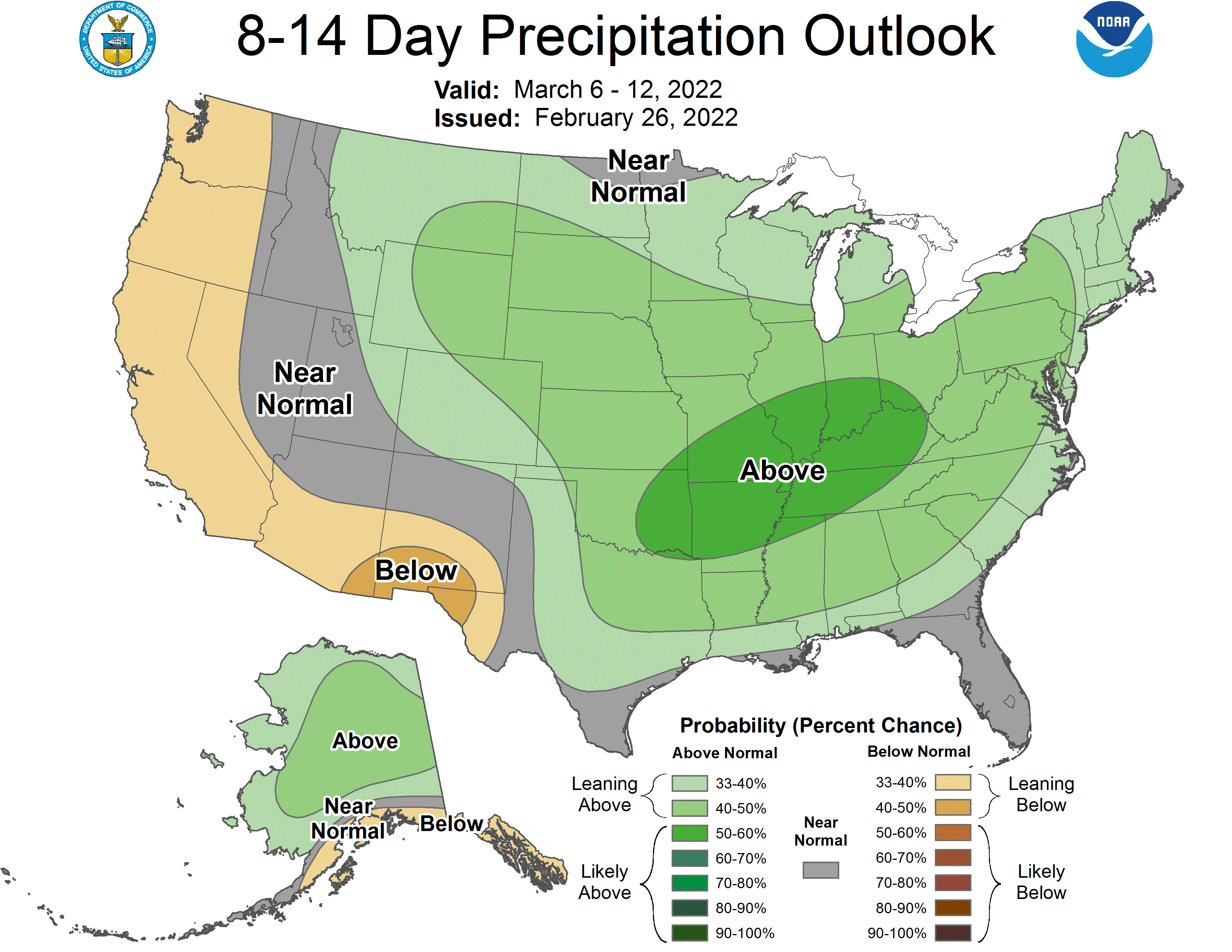
Global ensembles are indicating slightly below-average precipitation and below-average temperatures across the region in the extended.
