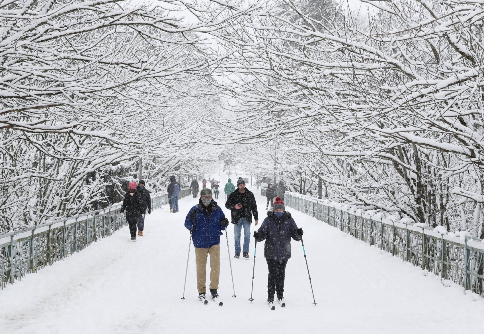
Seattle, WA got some serious urban snow last weekend. On Saturday, February 13th, Washington state’s largest city got the most snowfall it had seen in one day in 52 years. In total, 8.9 inches fell on the city, according to Seattle’s official weather reporting station at Sea-Tac Airport, which followed up 2.2 inches that came down on Friday. The last time it snowed more in one day was on January 27th, 1969, where Seattle residents saw 14.9 inches cover the ground.
The response was a mixed bag for the locals. Many ran outside to play in the snow, some hunkered inside to weather the storm, and a few clipped in their cross-country skis and took to the streets. One guy even got himself around by strapping a fan to his back and propelling himself down the road (VIDEO). Even though cars were immobilized, the weather didn’t keep people from getting where they needed to go.
It just so happened that a heavy front of precipitation from the south was met by freezing level air traveling from British Columbia. This combination became the perfect recipe for a white weekend in Seattle. Skiers and snowboarders alike reaped the benefits of the storm, as snowfall at Stevens Pass and The Summit at Snoqualmie created some great conditions. Snow in Pacific Northwest cities usually means things will shut down, but not for anyone heading to the mountains.
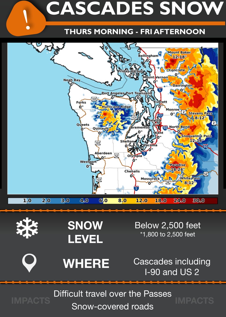
Another weather system is heading through the area, but only bringing rain to the city. Cascade mountain resorts may see at least another foot of snow on their mountains this weekend. Safe travels to anyone heading through the pass on their way to the ski some fresh snow.




Quick- Where’s that commenter that uses every snowfall to “disprove” global warming? He’ll be all over this!