With an improved weather window, search teams in Mount Rainier National Park, WA resumed ground-based search operations early Sunday, Oct. 25 for missing hiker, Dr. Sam Dubal.
- Related: Search Continues for University of Washington Professor Missing on Mount Rainer, WA Since Friday
Experienced search and rescue professionals from the National Park Service (NPS) and 10 partner search and rescue organizations began searching for Dr. Dubal, 33 on Oct. 12 when he was first reported overdue. As weather conditions have permitted, daily searches have included ground-based field teams, canine teams, drones, helicopters, and the use of Forward Looking Infrared (FLIR) heat detection cameras from the air.
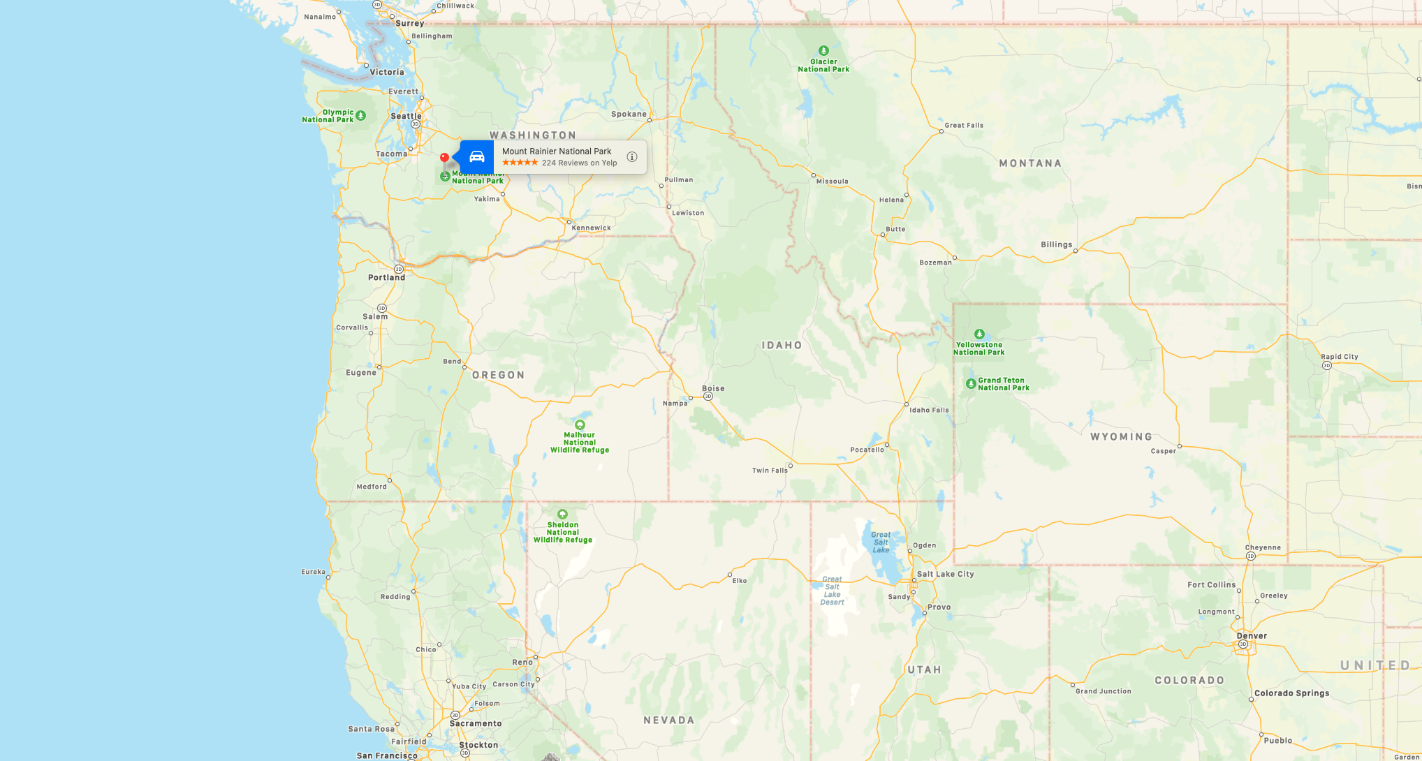
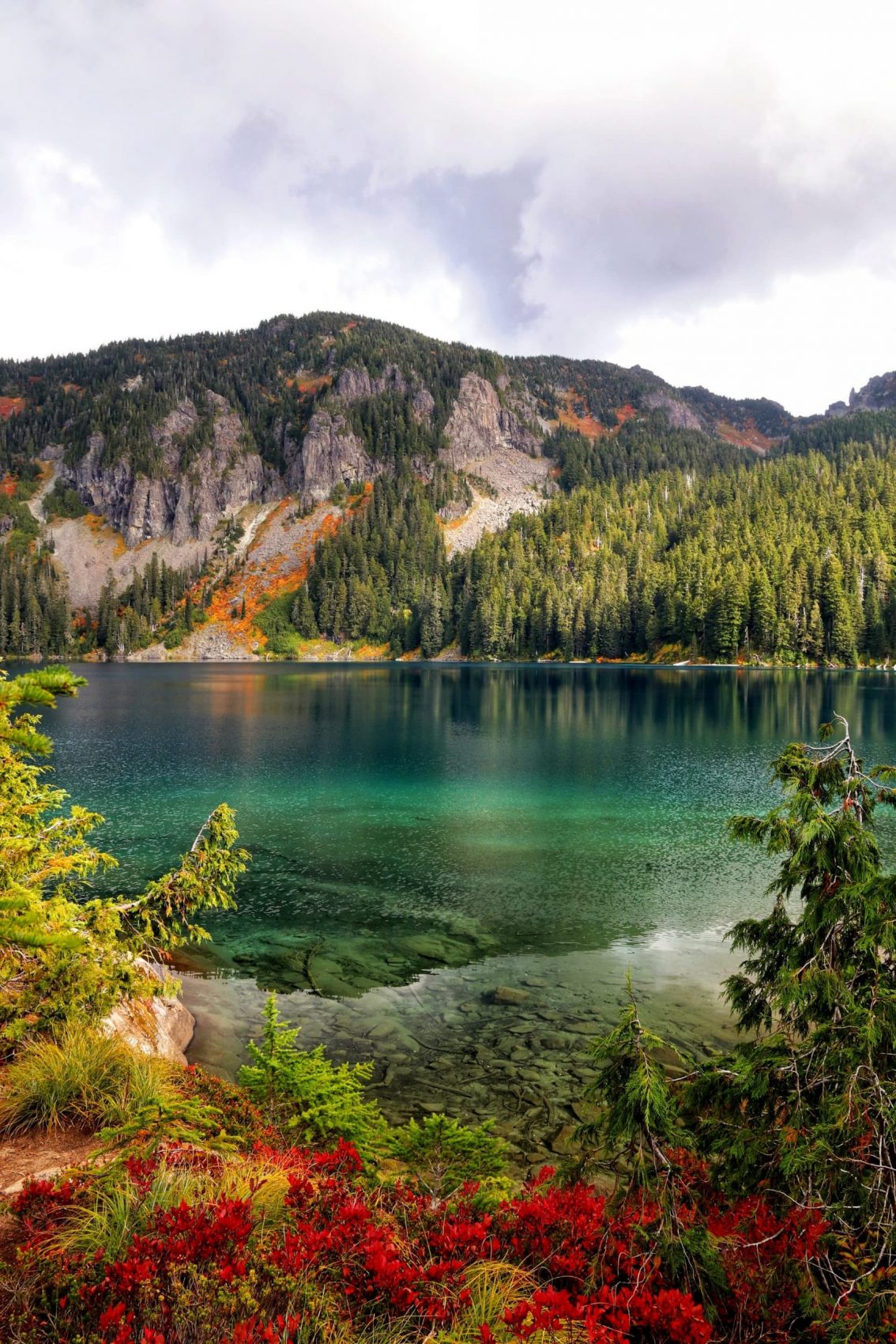
Park rangers believe Dr. Dubal went missing while hiking the Mowich Lake area of Mount Rainier, an area that includes rugged, remote wilderness. The search area ranges from 2,000 to 5,000 feet in elevation and includes dense forests, treacherous rocky terrain, exposed subalpine meadows, and mountain lakes, and streams including a section of the Carbon River. Several recent winter storms have blanketed much of the area in snow and temperatures have been in the high 20s to low 30s with temperatures below freezing as low as 1,500 feet in elevation. A storm on Oct. 10, the day after Dr. Dubal began his hike, washed out the rustic river crossing he would have used to cross the Carbon River.
The NPS asks anyone who may have any information that could help investigators to please contact the NPS Investigative Service Branch (ISB) Tip Line. CALL or TEXT at (888) 653-0009, EMAIL nps_isb@nps.gov or submit tips ONLINE at www.nps.gov/ISB.
Park staff are continually monitoring search area conditions, as well as localized weather – which can change rapidly due to Mount Rainier’s terrain and the mountain’s impact on local weather conditions. Search leaders will evaluate the safety and feasibility of all search activities to ensure safety for the park and partner rescue staff. Much like other public safety professionals, including firefighters and emergency medical services providers, rescuers must consider their personal safety and weigh the risk of search and rescue operations with the likelihood of a successful rescue. The use of helicopters is one of the highest risk methods of searching for missing people and specific weather and visibility conditions must be met.
Similar to Washington counties and national forests surrounding the park, Mount Rainier National Park has experienced a record number of searches during 2020. Of the park’s more than 60 searches this year, one hiker remains missing and one mountaineer was located deceased but could not be recovered due to continuous and hazardous icefall conditions.
The National Park Service appreciates the assistance of the many organizations that have assisted with the search: Olympic Mountain Rescue, Seattle Mountain Rescue, Tacoma Mountain Rescue, Central Washington Mountain Rescue, Pierce County Explorer Search and Rescue, Kitsap County Explorer Search and Rescue, Cowlitz County Search and Rescue, Pierce County German Shepard Search Dogs, Washington State Search and Rescue Planning Unit and Mount Rainier Volunteer Nordic Patrol.
As a reminder- the National Park Service uses drones for certain operations including search and rescue, fire operations, and research, but recreational use of unmanned aircraft by the public is prohibited.
Mowich Road typically closes for the season during mid-October and is currently closed due to winter conditions. Icy road conditions across the park have also delayed public vehicle access from Longmire to the popular Paradise area as of Sunday morning.
Mount Rainier National Park is an American national park located in southeast Pierce County and northeast Lewis County in Washington state. The park was established on March 2, 1899, as the fifth national park in the United States, preserving 236,381 acres (369.3 sq mi; 956.6 km2) including all of Mount Rainier, a 14,411-foot (4,392 m) stratovolcano. The mountain rises abruptly from the surrounding land with elevations in the park ranging from 1,600 feet to over 14,000 feet (490–4,300 m). The highest point in the Cascade Range, Mount Rainier is surrounded by valleys, waterfalls, subalpine meadows, and 91,000 acres (142.2 sq mi; 368.3 km2) of old-growth forest. More than 25 glaciers descend the flanks of the volcano, which is often shrouded in clouds that dump enormous amounts of rain and snow.
