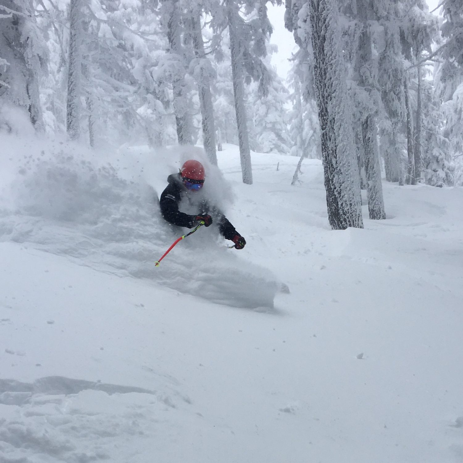
There have been many happy days thus far at Revelstoke, and sometimes you just have to grin like a blissful fool. It’s OK, we’ve all done it. We’re all blissful fools during that powder rush. I get to be a blissful fool like everyday, it’s so awesome. Being a blissful fool is the best.
The snow has been consistent these last two weeks – almost two meters (80 in) total during the period – and the season is game on right now. Revelstoke is number one right now for total snowfall, although we’ll probably bow to Jackson over the next few days in that regard. In every other regard, we will never bow to Jackson. So yeah, we may not be getting the AR (Atmospheric River) leftovers, but things are looking really good for week two, and even better for weeks three and four, where model ensembles are strongly favoring the classic Aleutian low setup where storms drop down the coast of Alaska into the Pacific Northwest. Basically, it’s one of the reasons why we are in a rainforest…
Snow Numbers:

Unfortunately, on Sunday Nature decided that she was hungover too and projectile barfed a ton of cold air down from the North and absolutely wind-blasted the mountain. There were some really fun wind-buffed turns, and it was actually a good thing in the long run for the base, I think. The bumps were mostly filled in. The terrain was just flattened. Overall, however, conditions won’t be as good this week as they probably would have been but next week it won’t really matter at all. There were a lot of downed trees though.

Forecast:

So, more good conditions to be had in a week. I hate having to reiterate this every time, but the models always underestimate the amount of snow we get. It will change as we draw closer, but still, my guess is that we’ll see a meter or more in the 1-2 week range. If the storms pan out the way the models have them now, at least.
Photo Tour:


