With the holiday season well underway and winter solidifying its grip all across the US, many folk are planning their vacations in order to enjoy a white Christmas. It will come as no surprise then that much of the western mountains- the Rockies, the Cascades, and the Sierras- are areas with an almost guaranteed chance of a white X-mas, while the far northeast of New England- Maine, New Hampshire, and Vermont- come to mind for locations to see the snow fly in the east.

The map above uses datasets containing average daily and monthly temperature, precipitation, snowfall, heating and cooling days, frost and freeze dates, and growing degree days from numerous stations around the US over the years of 1981-2010. Locations in white have a very high probability of seeing measurable snowfall, amounts of at least one inch, on December 25th.
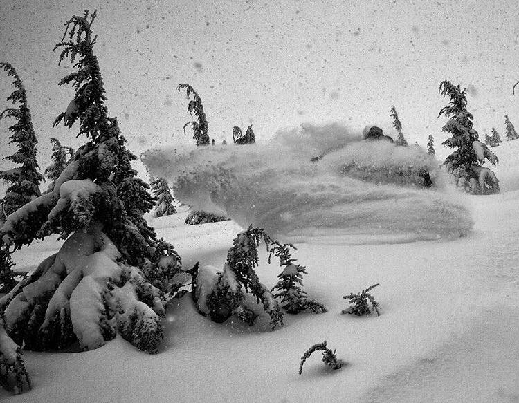
While this map just shows the historical based possibility of seeing snow on Christmas, many places across the western mountains have gotten ample coverage with storms continuing to track right through them and the East Coast has begun to pick up good measurable snowfall as it continues to see tidbits of winter making its way around New England. Even Hawaii received a solid amount of precipitation in the form of white gold on the Big Islands upper elevations, why not go shred pow in Hawaii for Christmas? (For more on the Hawaiian storm see Winter Storm Warning for Hawaii)

With plenty of choices for snow to make an appearance at based on current conditions and historical probability, it would appear that many of us will have a white Christmas wether we like it or not!

