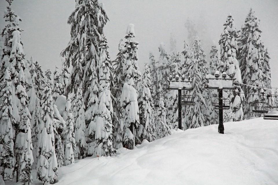
Report from February 26, 2023
Brought to you by Palisades Tahoe
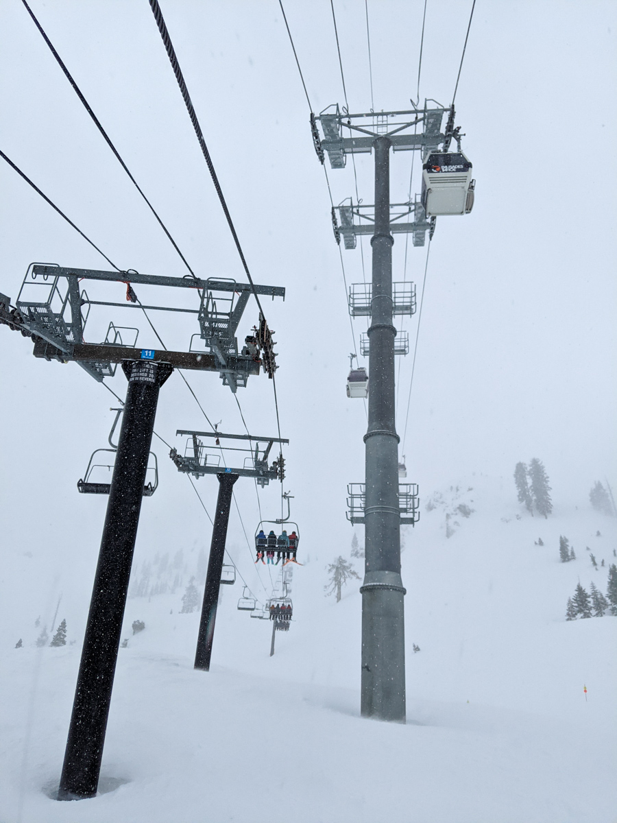
We showed up at Palisades Tahoe early today ready for the big storm.
World Cup slalom was going on in the background.
Conditions were skied out and firm, but the forecast was for 12″ of snow during the day.
Classic storm KT-22 skiing!

But, that didn’t exactly happen…
We skied from 9am-12:30pm and it never quite got soft.
It was really windy, but it just wasn’t snowing that much.
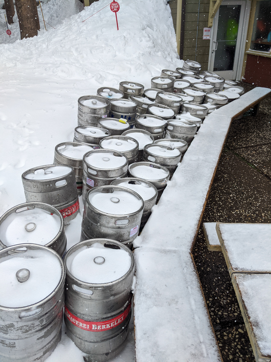
We should have slept in and skied 1pm-4pm but even that might not have been soft.
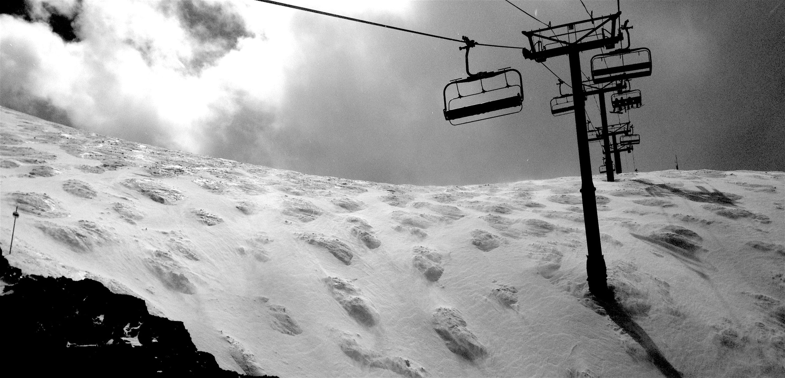
We skied the classic wind buff spots hoping for the goodness!
- Tom’s Tumble
- 3 Trees
- Chute 75 Alternate
- Dead Tree
- West Face
Nothing worked…
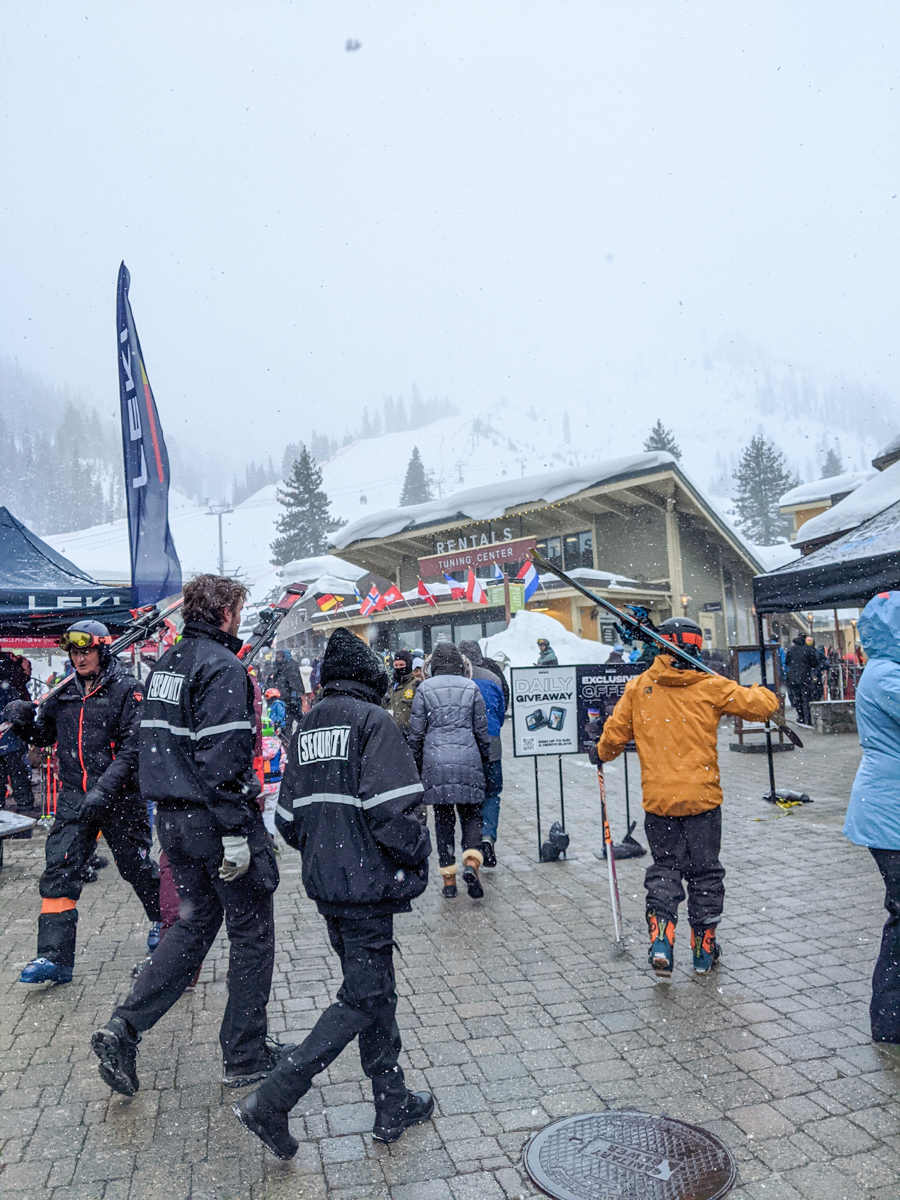
Of those 5 runs, Chute 75 alternate was the best, but really just the top portion.
At 12:30pm, we called it and headed home to safe energy and our knees for the rest of the big storm.
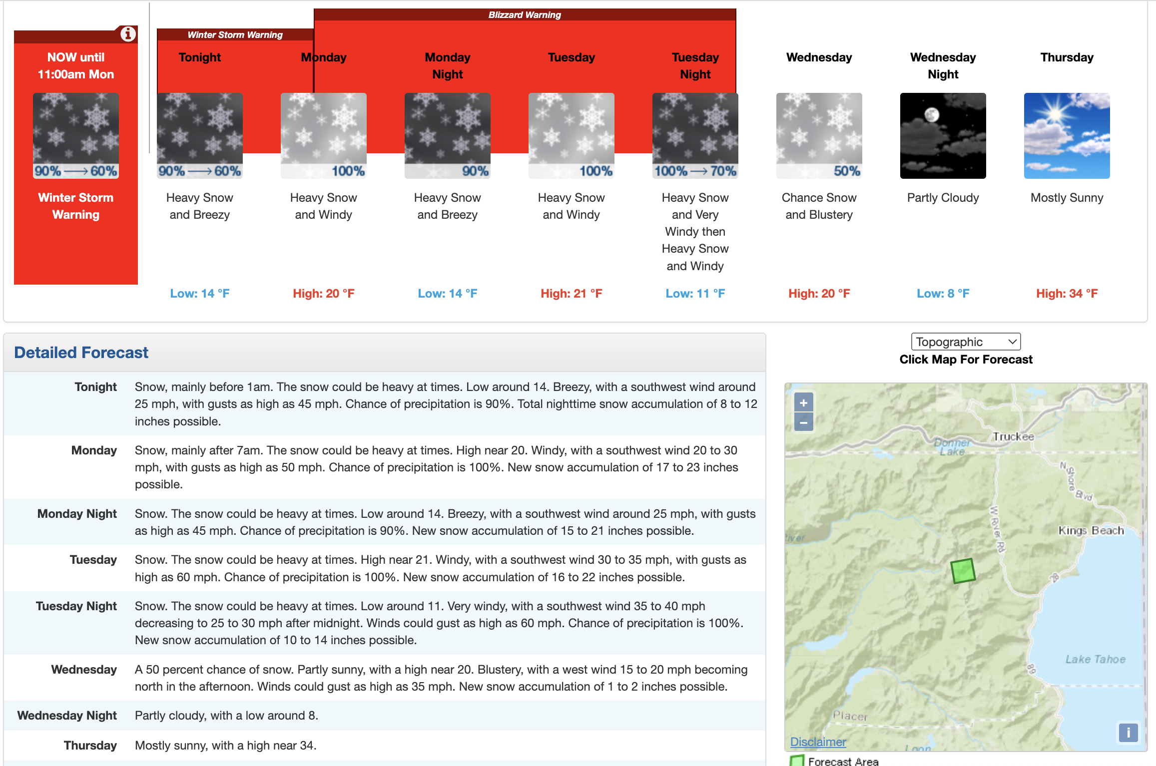
NOAA is calling for 4-6 feet of snow above 7,000′.
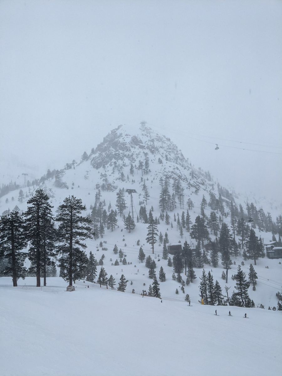
Hold on!
It’s gonna be a wild ride…
Monday-Tuesday Storm:

* SIERRA: The main storm will arrive Monday and continue through
  Wednesday morning which will feature two distinct waves of heavy
  snowfall. The first is expected Monday afternoon-evening with a
  secondary colder wave Tuesday morning through Tuesday evening.
  Snowfall rates could exceed 2-3"/hr during these periods. The
  colder nature of the storms will result in a lighter/fluffier
  snow type (15:1) which could be easily blown around by wind
  gusts over 50 mph across Sierra communities and over 100 mph
  across Sierra ridges. Expect periods of blizzard conditions with
  periods of near- zero visibility in the Sierra. These storms are
  poised to deliver feet of snowfall with upwards of 4 to 6 feet
  possible along the Sierra crest. To see additional forecasted
  snowfall amounts please refer to the latest Winter Storm and
  Blizzard warnings. - NOAA, 2/26/23
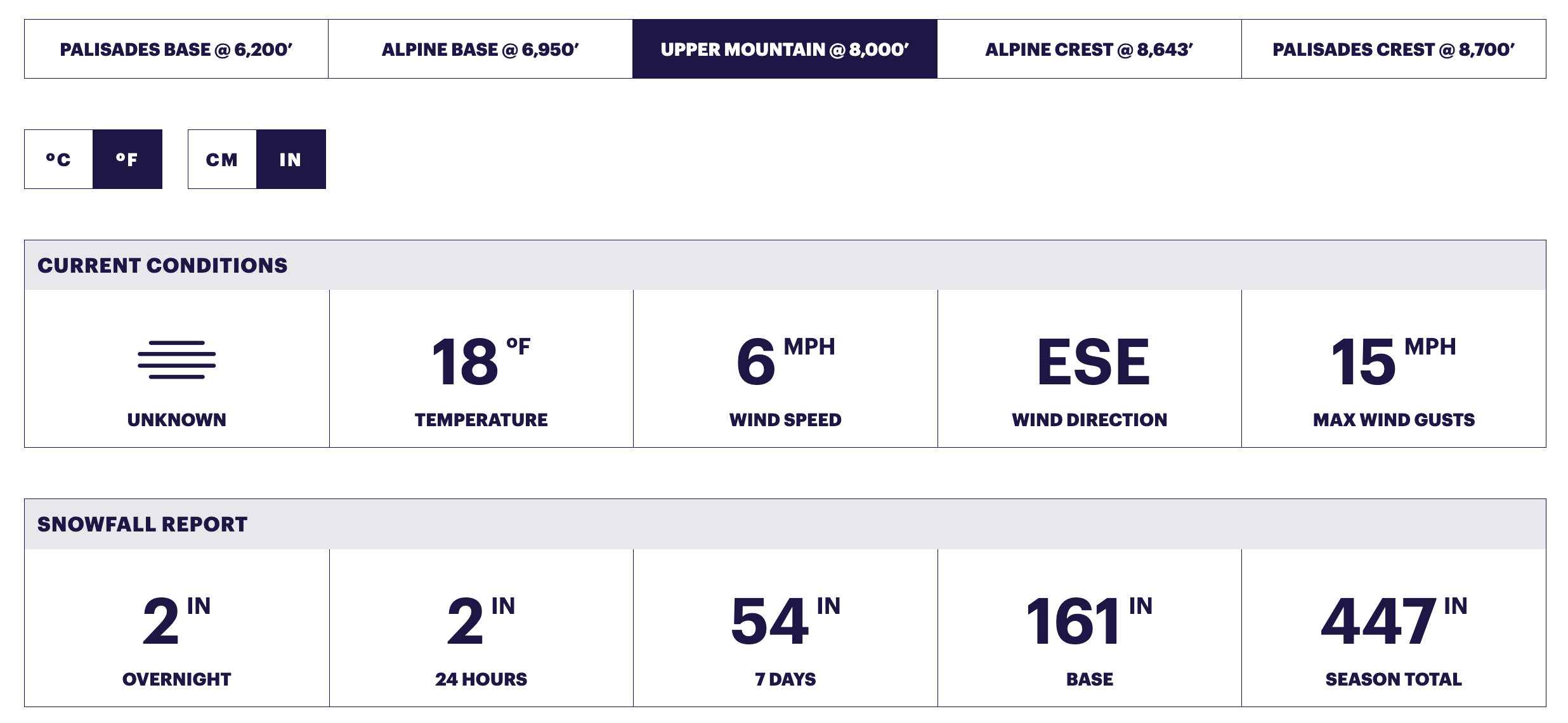
SNOW NUMBERS
FORECAST
PHOTOS
