By Palisades Tahoe
March 10, 2023
4pm PT
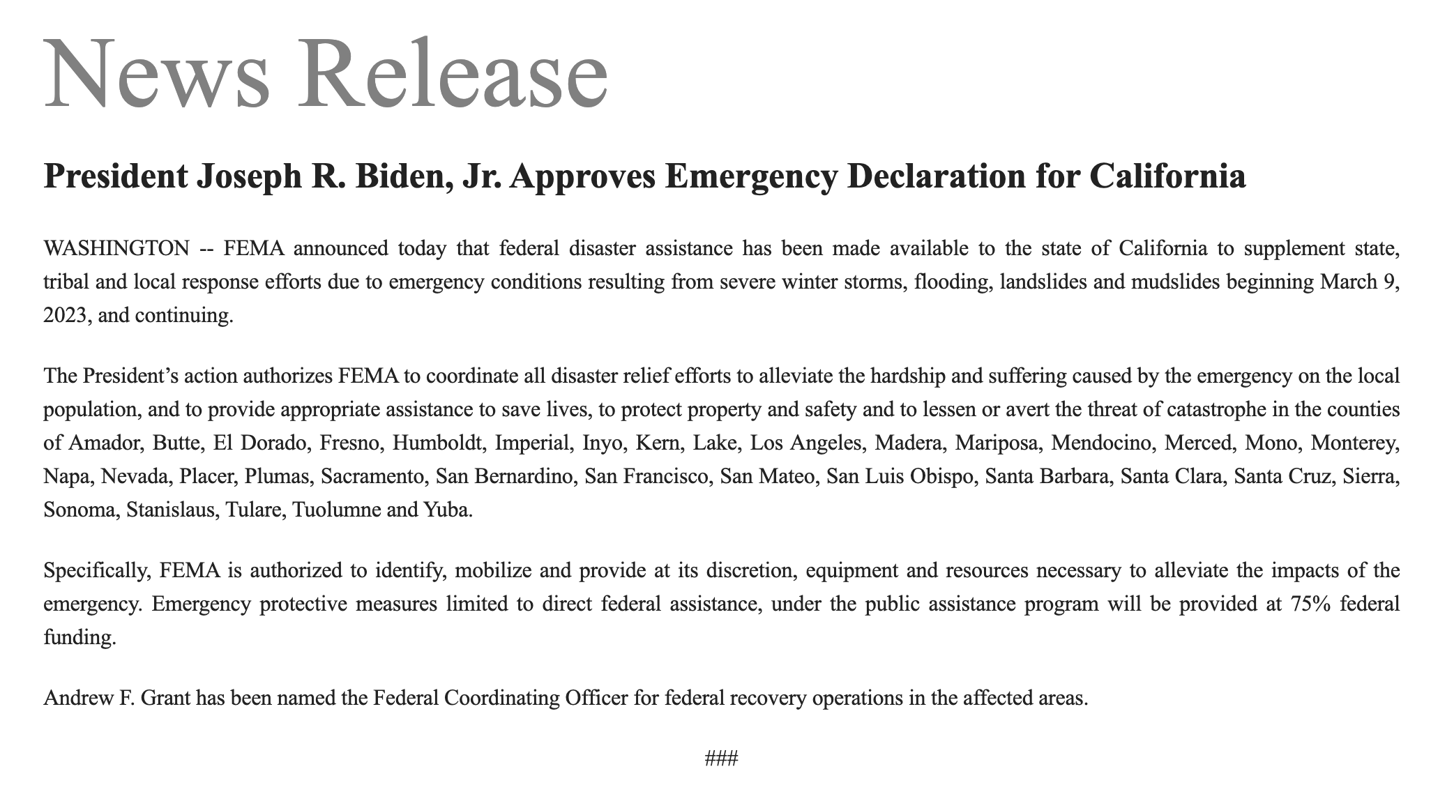
Editors Note: President Approves Emergency Declaration for California – FEMA announced today that federal disaster assistance has been made available to the state of California to supplement state, tribal and local response efforts due to emergency conditions resulting from severe winter storms, flooding, landslides and mudslides beginning March 9, 2023, and continuing.
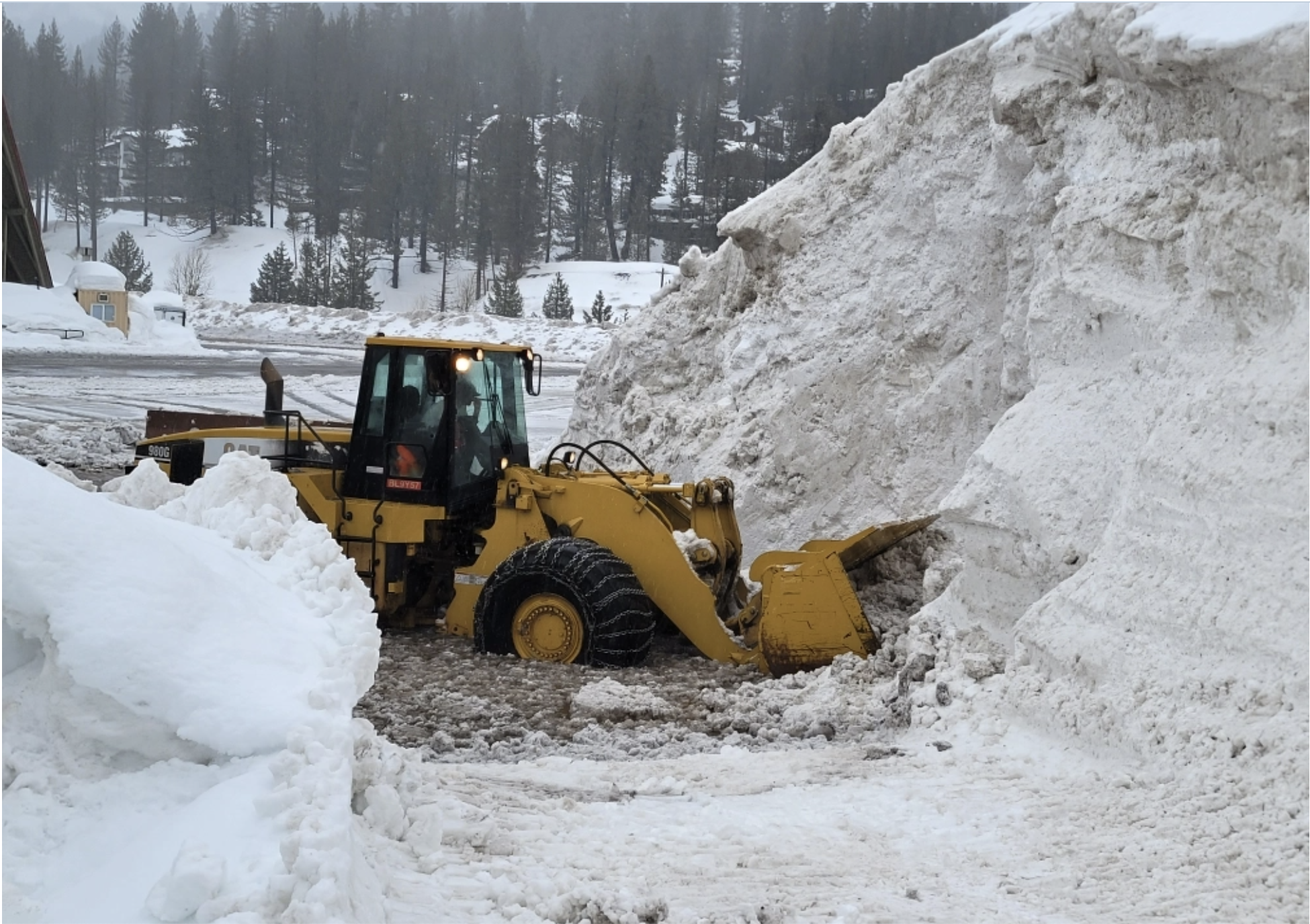
This morning before 6 o’clock, we made the decision to close lift operations and base lodges for the day. This decision was made due to extremely high avalanche danger at both mountains and the flooding that was taking place on Olympic Valley Rd and Alpine Meadows Rd. Snow levels were higher than we were hoping for: rain fell up to 8,500 feet (above the Gold Coast area) throughout the night. Where we did get snow, it was about 7 inches, before the rain began.
Video: Pat Fraser at Alpine this morning. The snow is extremely saturated and heavy.
As we discussed in yesterday’s Operations Blog, when rain or heavy/wet snow falls on the light-density, powdery snow we’ve been receiving over the past few weeks, it creates dangerous avalanche conditions. We had restrictions on employee movements in the Alpine base area this morning, Palisades Ski Patrol did not go up the hill, and we pulled our grooming team off the mountain early. Winds were also a factor in our decision to close, peaking at 177mph around 5am.
WEATHER OUTLOOK: DAY 2 OF ATMOSPHERIC RIVER
Our snowfall total predictions have dropped a bit since yesterday. Throughout the day today and overnight tonight we are expecting:
- 4-8 inches at the base.
- 8-15 inches at mid-mountain elevations.
- 14-19 inches on the upper mountain above 8,000 feet.
By tomorrow (Saturday), the snow showers will be a bit steadier, but winds should drop off a bit to 50-60mph. We expect snow levels to fluctuate throughout both Saturday and Sunday. By Sunday night, we could see additional snow totals of:
- 13-19 inches at the base.
- 18-24 inches at mid-mountain elevations.
- 20-28 inches on the upper mountain above 8,000 feet.
Please visit our Weather Blog, powered by OpenSnow, for more.
SATURDAY: WHAT TO EXPECT
Tomorrow, we are going to attempt to open several lifts at both mountains. You should expect that ALL lifts will be delayed, maybe even significantly delayed, depending on how much snow we get overnight. Several inches of water fell today. This means many of our chairlifts may be iced over and we will have to break the ice off by hand before opening in the morning.
- At Alpine, we are hoping for Roundhouse, Treeline Cirque, Sherwood, Subway, and Meadow.
- At Palisades, we are hoping for Resort Chair, Far East, First Ventures, Red Dog, and KT-22. KT-22 is likely to be more delayed than other chairlifts as we have not done control work or put the Saddle road in yet.
- Upper mountain or ridgeline chairlifts may be closed for several days. Almost no one has been up top during this storm cycle and we will have a significant amount of digging out to do. Once we see what these chairlifts look like, we will keep you updated on our progress.
WANT THIS BLOG TO COME TO YOUR EMAIL INBOX?
Sign up for our Mountain Operations email list, and we’ll send this blog directly to you every time we have an update. We’ll share another update soon. Sign up here.
HOW ELSE CAN I STAY UP-TO-DATE THIS SEASON?
We’ll arm you with all the information you need to plan the perfect ski day any day this winter. Bookmark these pages:
Not wanting to check the website constantly? Try these other methods:
- Follow our Mountain Operations Twitter account
- Sign up for the Palisades Tahoe Ski & Ride Report (Weather Blogs + Conditions Blogs are included here)
- Download the Palisades Tahoe App
Do you have any requests for this season’s Operations Blogs? Topics you’d like to see covered or information you think is missing? Send us an email at chatter@palisadestahoe.com with your feedback. We have received a lot of messages lately, and we are getting back to you one by one. Thanks for being patient!

