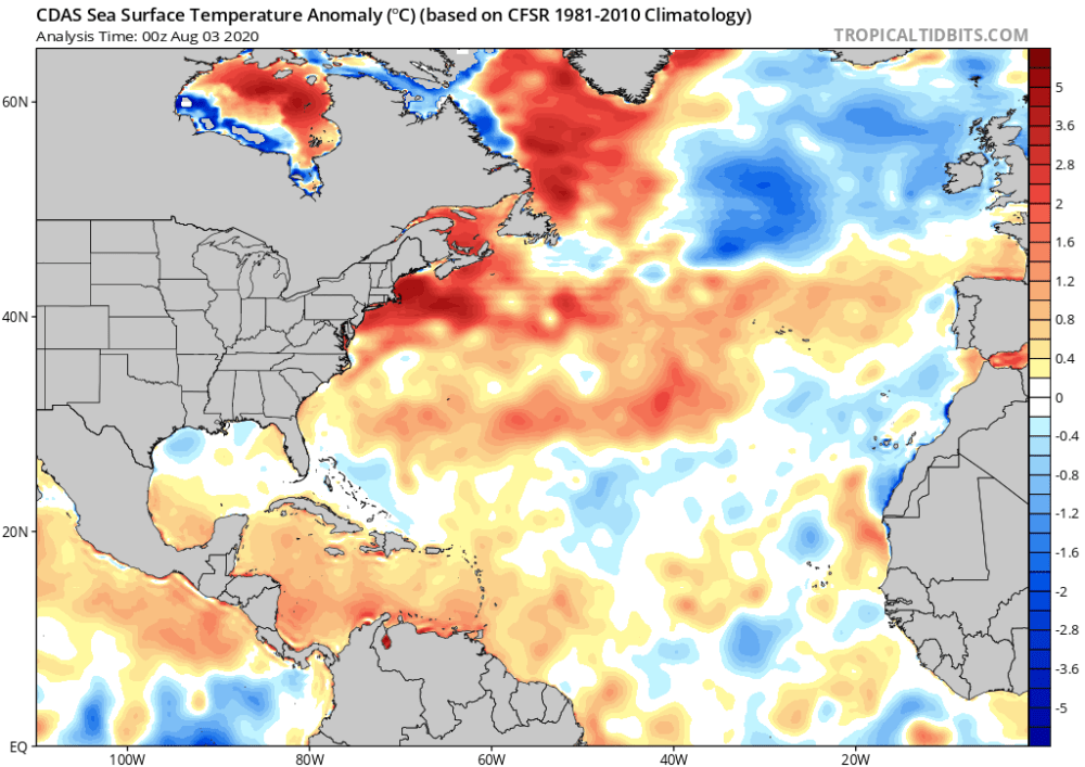
A marine heatwave is currently sweeping through the Atlantic ocean which will likely intensify this year’s hurricane season. The Woods Hole Oceanographic Institution reports that the water off the New England coast is 3-4˚F warmer than normal this summer.
Typically, off New England’s shores, there is a thin layer of warm water sitting on top of colder water. As a hurricane roars up the east coast the storm will mix those two layers of water together, which cools the surface temperature. Since hurricanes feed off of warm water, they tend to lose energy as the ocean surface cools. This year is shaping up to be different though because the warm layer on the surface is thicker and warmer than normal. In addition, cold water is less salty than normal, which puzzles researchers. Because of these two factors, the difference in density between the warm and cold water is greater than normal, which means they will not be able to mix together as well. This is a recipe for hurricanes that could be stronger and more frequent than normal.

Significance of Warmer Oceans
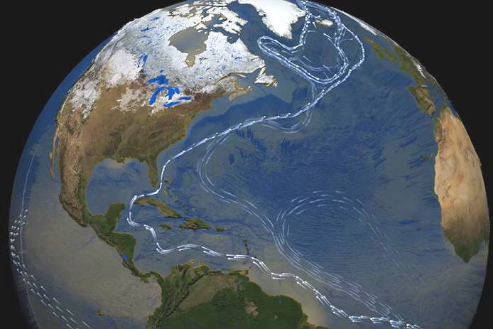
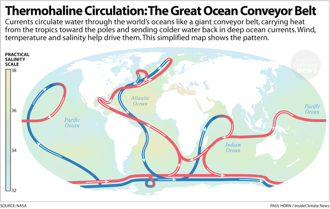
All of the world’s oceans are warming and the water off the coast of New England is warming faster than most. Warmer oceans sound nice if you don’t like swimming in cold water, but bad for most other reasons. Water can hold a tremendous amount of heat, so when our atmosphere warms up much of the excess heat gets absorbed into our oceans. Ocean currents are slowing down due to this warming. This has begun to affect the Gulf Stream which now produces eddies of warm water known as warm-core rings. These warm spots can fuel tropical storms and accelerate them up the coast when they may have otherwise dissipated.
Following the basic laws of thermodynamics, as ocean water heats up it expands. Ocean warming is one of the largest contributors to sea-level rise worldwide. In fact, over the last decade ocean warming has been responsible for 75% of sea-level rise.
