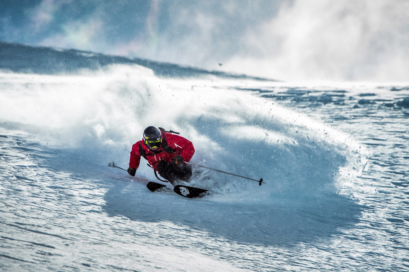
Stock photo of snow and the Alta sign. photo: alta
NOAA is forecasting 7-15″ of snowfall in the Wasatch Mountains of Utah tonight and tomorrow.
* WHAT...Heavy snow and blowing snow. Additional snow accumulations of 7 to 15 inches.
Snowfall rates may exceed 2 inches per hour Monday morning.
Winds gusting as high as 55 mph.
- NOAA, SLC
NOAA is calling for over 2″ of snow per hour Monday morning.
Snowfall rates may exceed 2 inches per hour Monday morning.
- NOAA, SLC
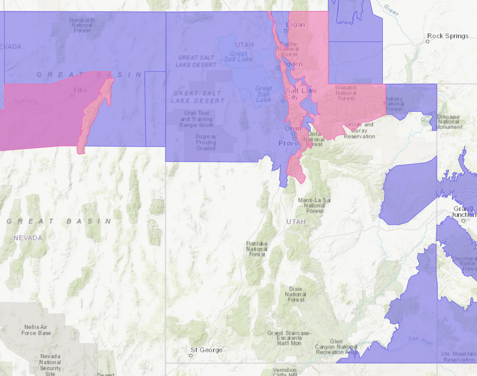
PINK = Winter Storm Warning. image: noaa
Alta = 18″ of snow in the past 12 hours and 20″ in the past 24 hours.and
Snowbird = 16″ of snow in the past 12 hours and 20″ in the past 24 hours.
Brighton = 11″ of snow in the past 8 hours and 24 hours in the past 24 hours.
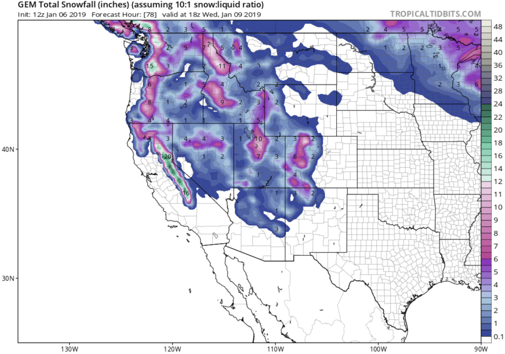
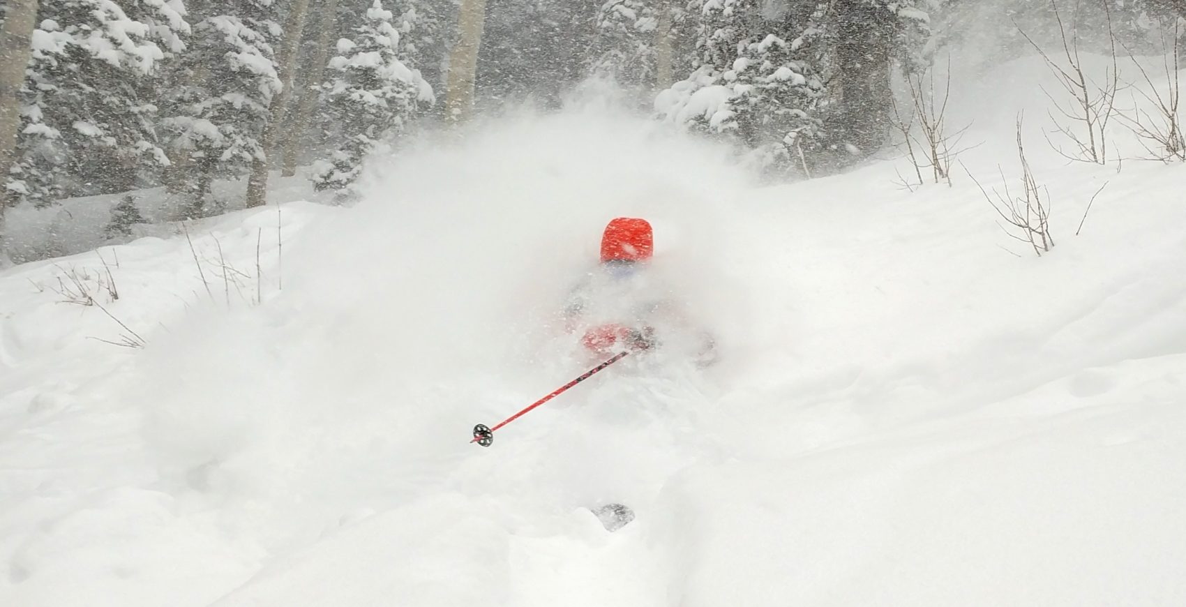
10+” of snow forecast in Cottonwood Canyons by the GEM model from tonight until Wednesday. image: tropicaltidbits.comMiles Clark at Park City Mountain Resort, UT today… photo: erica good/snowbrains
Winter Storm Warning for Utah
URGENT - WINTER WEATHER MESSAGE
National Weather Service Salt Lake City UT
348 PM MST Sun Jan 6 2019

Wasatch Mountains I-80 North-Wasatch Mountains South of I-80-
Western Uinta Mountains-
Including the cities of Woodruff, Randolph, Alta, Brighton,
and Mirror Lake Highway

...WINTER STORM WARNING REMAINS IN EFFECT UNTIL 9 PM MST MONDAY...

* WHAT...Heavy snow and blowing snow. Additional snow
  accumulations of 7 to 15 inches. Snowfall rates may exceed 2
  inches per hour Monday morning. Winds gusting as high as 55
  mph.

* WHERE...Wasatch Mountains I-80 North, Wasatch Mountains South
  of I-80 and Western Uinta Mountains.

* WHEN...Until 9 PM MST Monday. Period of heaviest snow between
  11pm MST Sunday and 11am MST Monday.

* ADDITIONAL DETAILS...Travel could be very difficult. Areas of
  blowing snow could significantly reduce visibility. Travel
  during the Monday morning commute will be significantly
  impacted.