"...WINTER STORM WATCH REMAINS IN EFFECT FROM THIS EVENING THROUGH
LATE SATURDAY NIGHT...

* Snow accumulation...8 to 16 inches possible." - NOAA Riverton, WY today
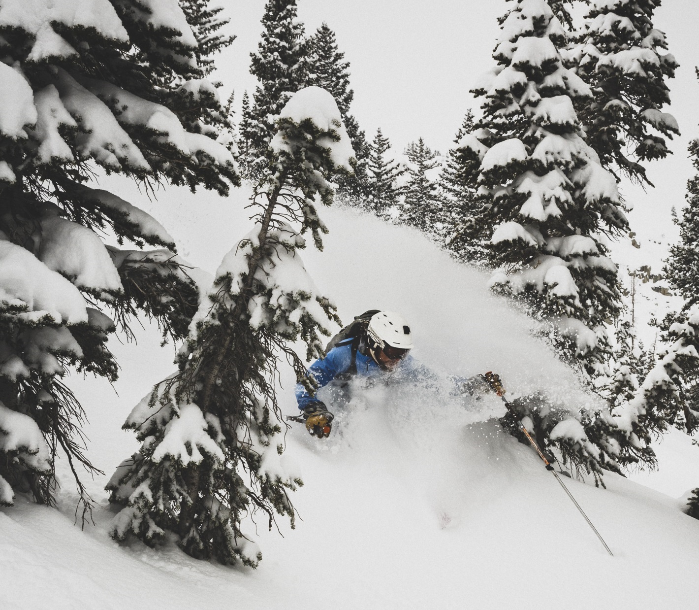
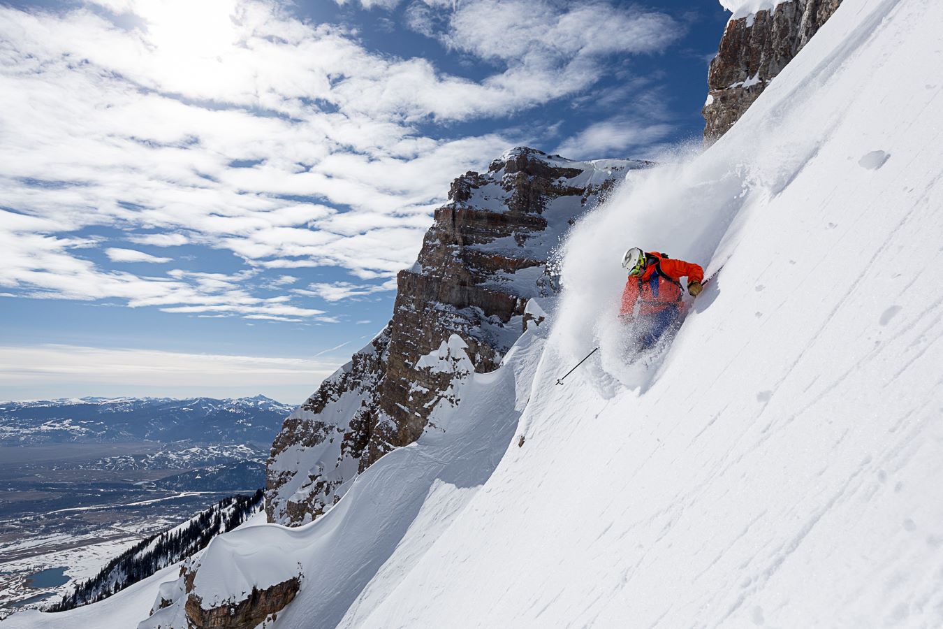
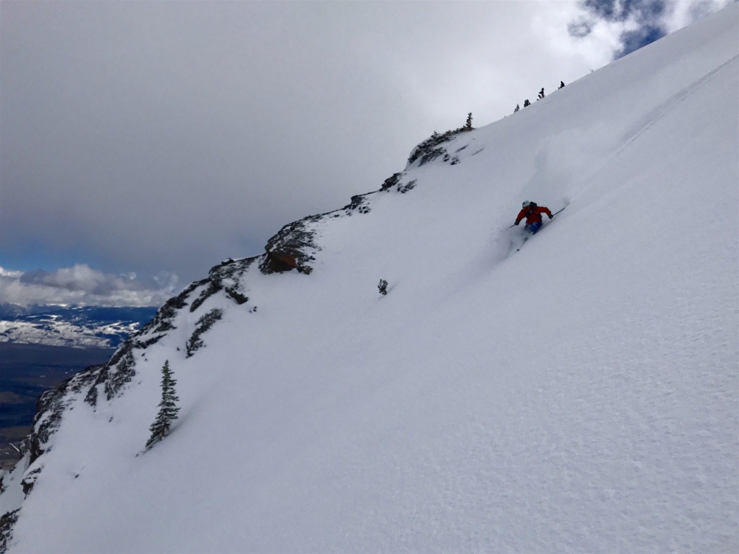
Jackson Hole, WY has been THE place to be this year.
- 573″ snowfall total.
- Copious amounts of powder days (we had 23 ourselves…).
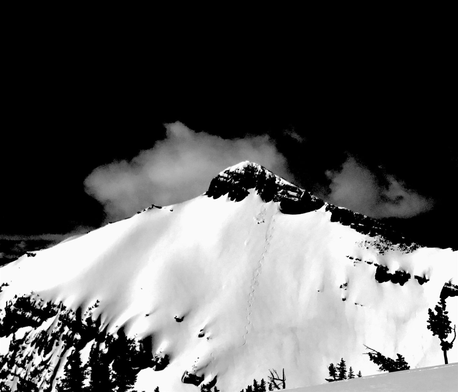
- A record breaking snowpack – Lines are in and being skied that rarely are even thought about…
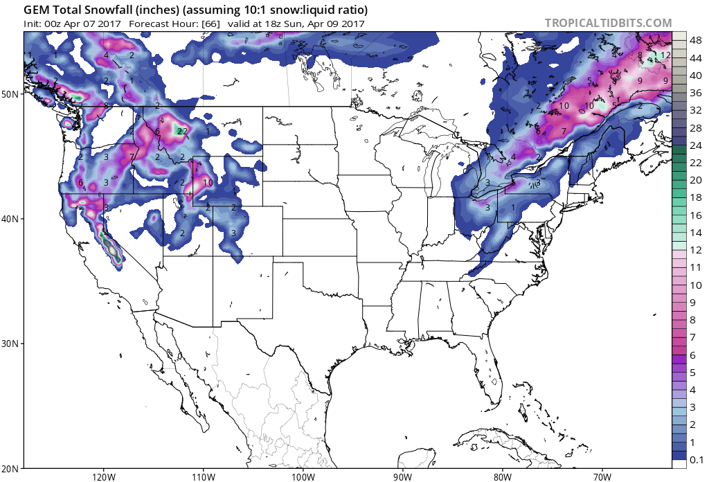
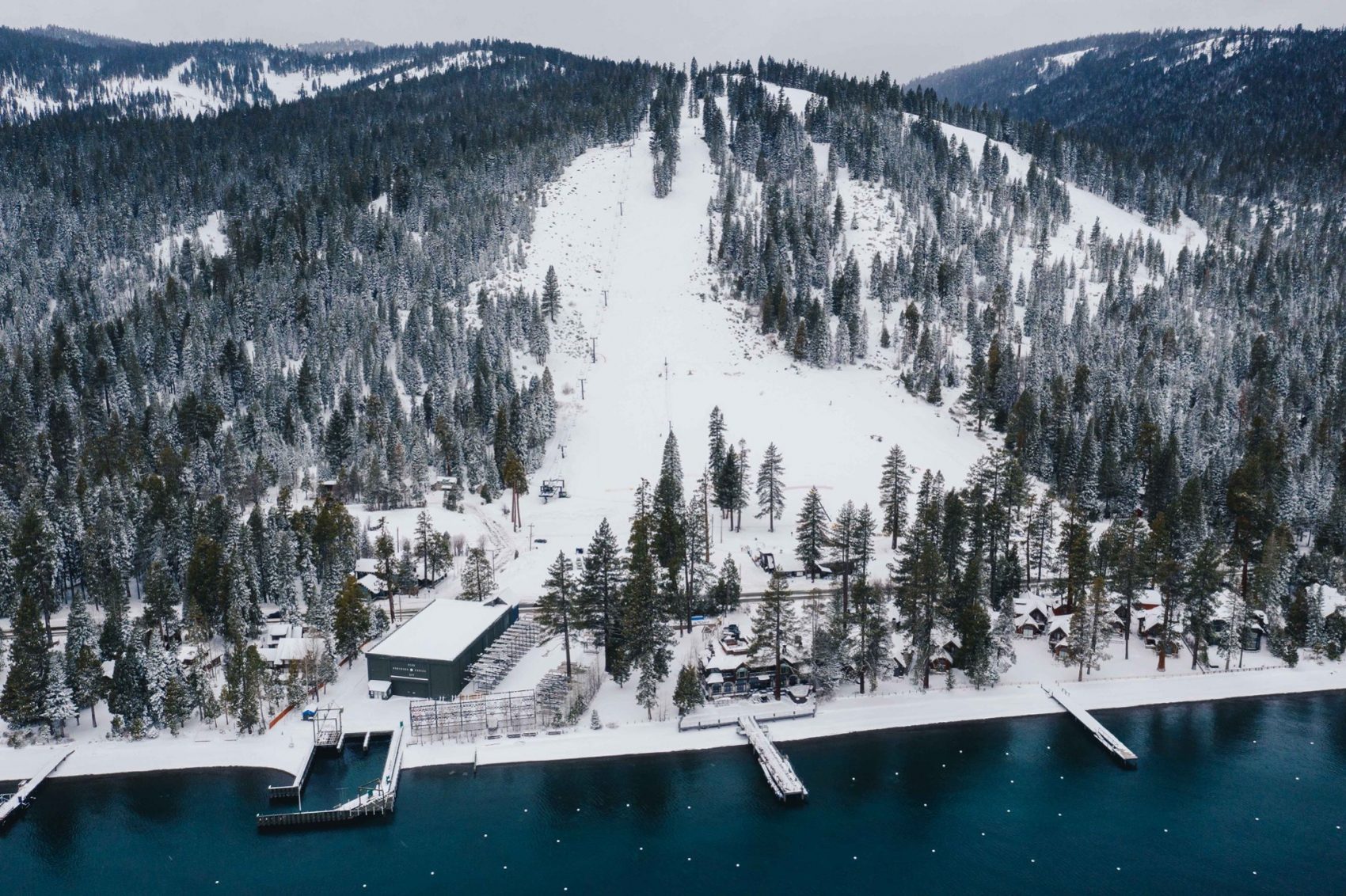
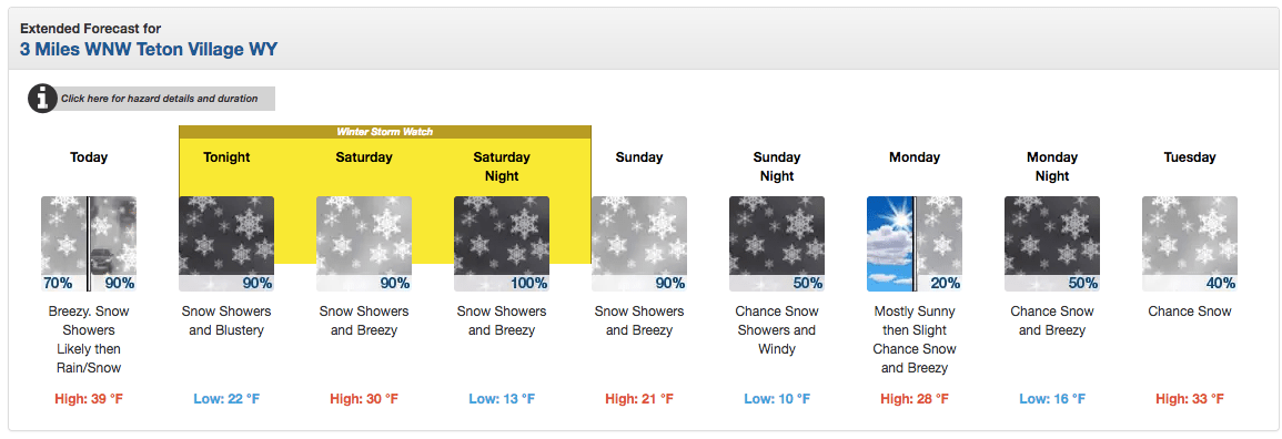
Just to make double sure that this season will be one that will never be forgotten, Jackson Hole ordered up a Winter Storm Watch that is forecast to drop 8-16″ of snow on closing weekend that will leave closing day – this Sunday – an amazing powder day.
We can’t think of a better way to close out an amazing season at Jackson Hole.
This was our first season in Jackson and we absolutely fell in love. In more ways than one. This place is unreal.
NOAA has issued a Winter Storm Watch that is forecasting 8-16″ of snow today and tomorrow at Jackson Hole, WY:
WINTER STORM WATCH for JACKSON HOLE, WY:
URGENT - WINTER WEATHER MESSAGE
National Weather Service Riverton WY
232 AM MDT Fri Apr 7 2017

...Heavy wet snow for the western mountains tonight through
Saturday night...

.A strong wet Pacific low pressure trough will bring periods of
heavy wet snow to the Teton, Gros Ventre, Wyoming, Salt River and
Wind river mountains tonight through Saturday night. Rain or a
rain snow mix is expected below 7500 feet in the Star valley and
Jackson Hole.

Teton and Gros Ventre Mountains-
...WINTER STORM WATCH REMAINS IN EFFECT FROM THIS EVENING THROUGH
LATE SATURDAY NIGHT...

* TIMING...Snow showers and isolated thunderstorms will move into
  the western mountains this Afternoon. Showers may become more
widespread with periods of heavy wet snow later this evening
with periods of heavy snow continuing Saturday through Saturday
night.

* Snow accumulation...8 to 16 inches possible.

* MAIN IMPACT...Travel over Teton and Togwotee passes may become
difficult with deep wet snow accumulating on road surfaces and
visibility being reduced below an eighth of a mile at times.

* OTHER IMPACTS...Heavy wet snow may make outdoor activities
difficult and increase the threat of hypothermia for those
without proper winter clothing.