Brought to you by the NOAA
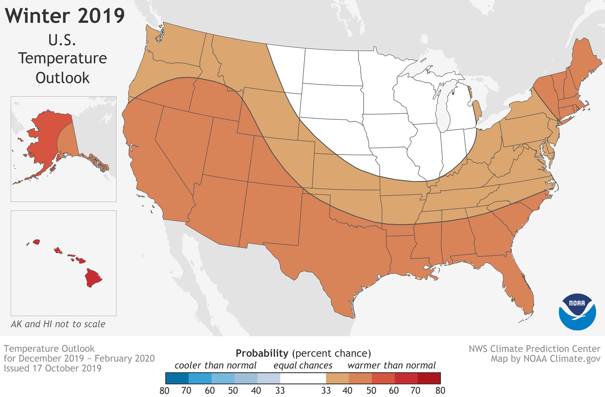
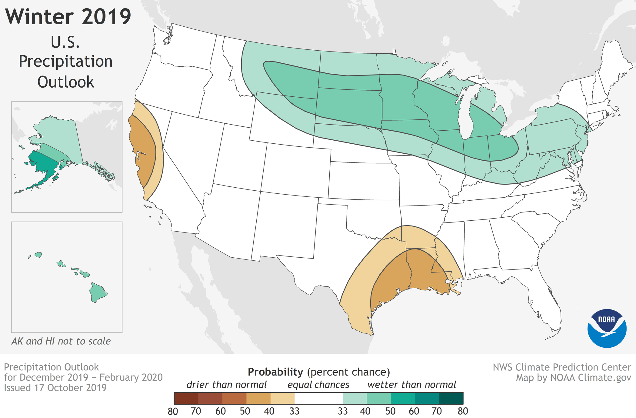
Warmer-than-average temperatures are forecast for much of the U.S. this winter according to NOAA’s Climate Prediction Center. Although below-average temperatures are not favored, cold weather is anticipated and some areas could still experience a colder-than-average winter. Wetter-than-average weather is most likely across the Northern Tier of the U.S. during winter, which extends from December through February.
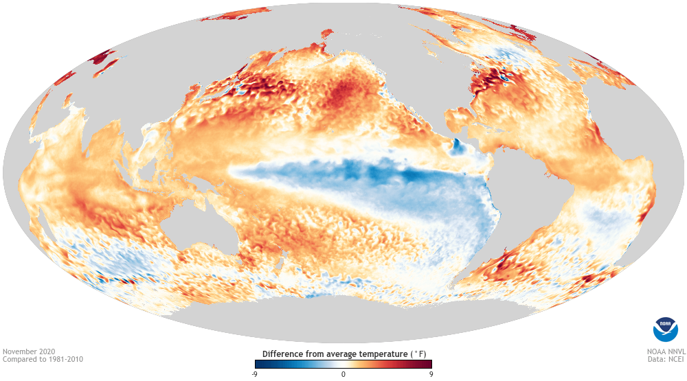
While the El Nino Southern Oscillation (ENSO) climate pattern often influences the winter, neutral conditions are in place this year and expected to persist into the spring. In the absence of El Nino or La Nina, long-term trends become a key predictor for the outlook, while other climate patterns, such as the Madden-Julian Oscillation and Arctic Oscillation (AO), will likely play a larger role in determining winter weather. For example, the AO influences the number of arctic air masses that intrude into the U.S., but its predictability is limited to a couple of weeks.
“Without either El Nino or La Nina conditions, short-term climate patterns like the Arctic Oscillation will drive winter weather and could result in large swings in temperature and precipitation,” said Mike Halpert, deputy director of NOAA’s Climate Prediction Center.
This spring saw significant and historic flooding across the central U.S. that impacted nearly 17 million people. However, during the summer and early fall, drought rapidly developed across much of the South, with drought conditions now present across approximately 20% of the country.
The 2019-20 U.S. Winter Outlook | December through February
Temperature
- The greatest likelihood for warmer-than-normal conditions are in Alaska and Hawaii, with more modest probabilities for above-average temperatures spanning large parts of the remaining lower 48 from the West across the South and up the eastern seaboard.
- The Northern Plains, Upper Mississippi Valley, and the western Great Lakes have equal chances for below-, near- or above-average temperatures.
- No part of the U.S. is favored to have below-average temperatures this winter.
Precipitation
- Wetter-than-average conditions are most likely in Alaska and Hawaii this winter, along with portions of the Northern Plains, Upper Mississippi Valley, the Great Lakes and parts of the Mid-Atlantic and Northeast.
- Drier-than-average conditions are most likely for Louisiana, parts of Texas, Mississippi, Arkansas and Oklahoma as well areas of northern and central California.
- The remainder of the U.S. falls into the category of equal chances for below-, near-, or above-average precipitation.
Drought
- Abnormally dry conditions are present across much of the Southern U.S., with areas of the most severe drought in the Four Corners region of the Southwest, central Texas and parts of the Southeast.
- Drought is expected to improve in portions of the Southeast, Mid-Atlantic, Alaska, and Hawaii while persisting in central Texas and the Southwest.
- Drought development is expected to occur in parts of central California. (See NOAA’s seasonal drought outlook page for map and details.)
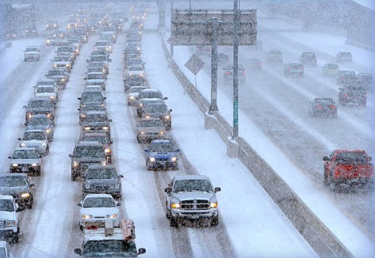
NOAA’s seasonal outlooks provide the likelihood that temperatures and total precipitation amounts will be above-, near- or below-average, and how drought conditions are favored to change. The outlook does not project seasonal snowfall accumulations as snow forecasts are generally not predictable more than a week in advance. Even during a warmer-than-average winter, periods of cold temperatures and snowfall are expected.

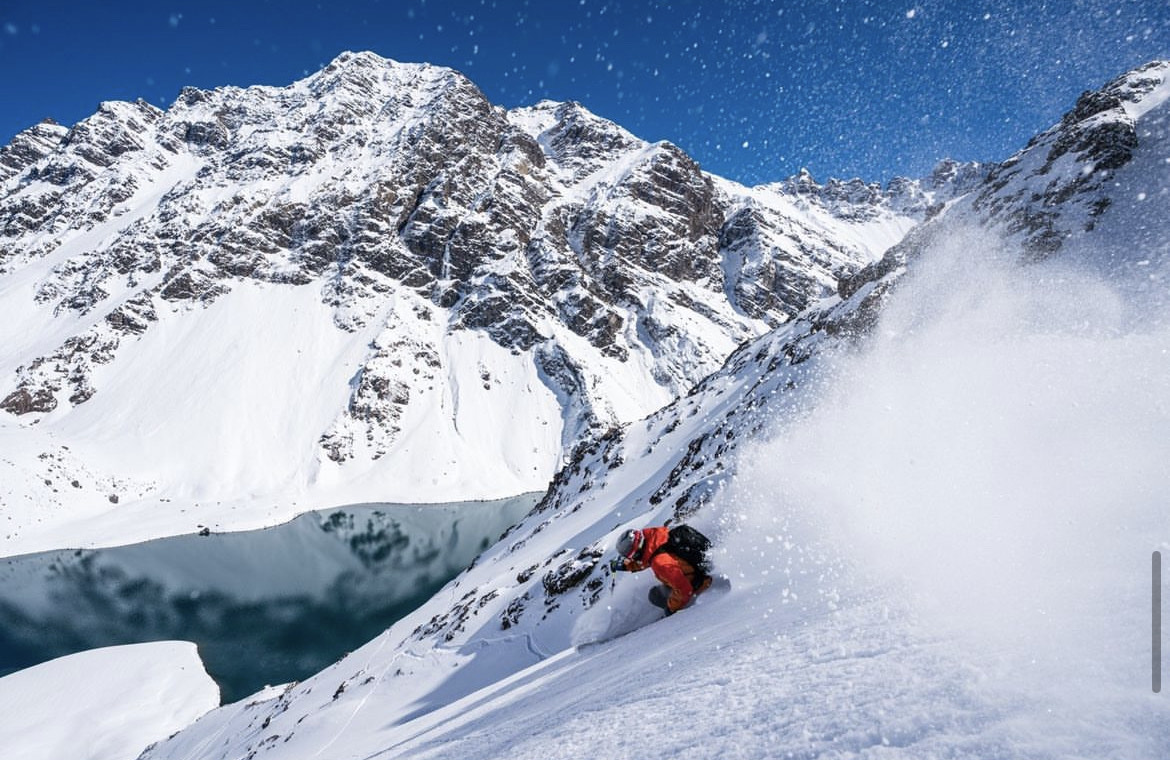

They blew it last year in regards to CA, but hey it’s not easy predicting these things