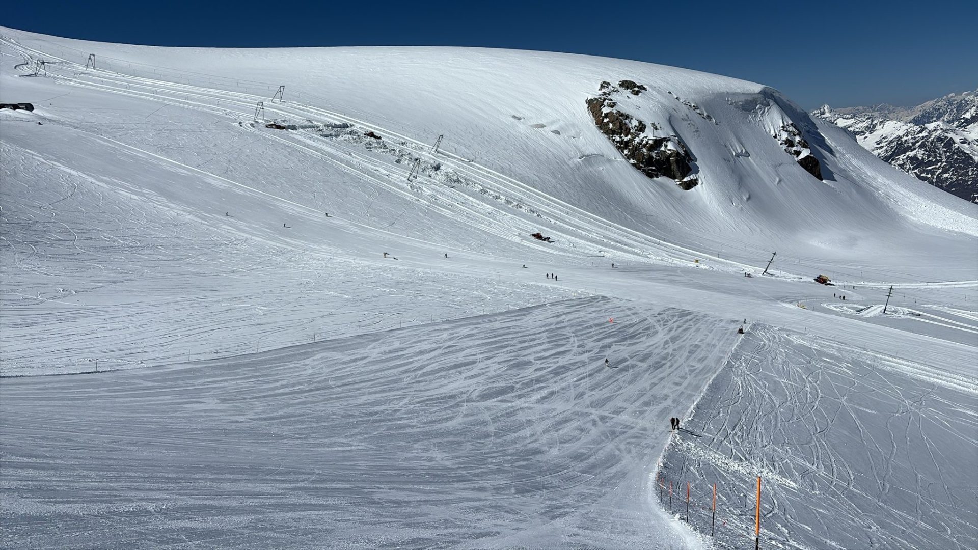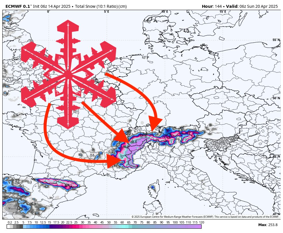
A pair of spring storms will bring fresh snow to much of the Alps this week, with heavier accumulations targeting higher-elevation resorts. Zermatt in Switzerland takes the spotlight by far, while Val Thorens and Chamonix (France) also rack up respectable totals. Lower-elevation spots like Sölden in Austria will see some wet snow or even rain at the base, but higher slopes should still offer decent turns.
The first storm kicks off as early as Monday night and lingers through Friday for many resorts, delivering a healthy dose of midweek powder. Val Thorens and Zermatt see the brunt of it, with low-end totals near 18″–47″ respectively, and upper-end amounts in the 29″–73″ range by Friday night. Snow levels drop mid-storm—especially around Chamonix, Verbier (Switzerland), and Courchevel (Switzerland)—reaching as low as 4,600–5,000 feet by late Wednesday or Thursday. Where snow-to-liquid ratios hover between 9:1 and 12:1 (moderate snow quality), expect decent powder; in spots like Sölden, however, ratios mostly stay below 9:1, indicating heavier, wetter snow and possible rain near the base.
By Saturday, a second surge of moisture sweeps in for Zermatt, Val Thorens, and Chamonix in France, adding a fresh layer through Sunday. Although this wave is lighter overall, it brings another boost of moderate-density snow (mainly 10:1–12:1) as freezing levels dip to around 6,400–6,600 feet. That means even mid-mountain elevations will see decent accumulations, with only minimal rain concerns right at the lowest lifts. Gusty winds (especially over the higher ridges of Val Thorens and Zermatt) may briefly affect visibility and drifting, but fresh tracks should be waiting in leeward bowls once the system clears.
Sölden sees its main shot of snowfall Thursday night into Saturday, but totals remain on the low side. With snow levels frequently hovering above 6,500 feet there, expect rain or mixed precipitation near the lower lifts. Conditions improve higher up, but the overall totals are modest. Meanwhile, resorts such as Verbier and Courchevel receive more concentrated hits of snow midweek—slightly heavier than what Sölden gets—though not matching the deeper pockets in Zermatt or Val Thorens.
Resort-by-Resort Snowfall Totals
- Zermatt – 50″-81” total (47″-73” Mon night (04/14)–Fri night (04/18) + 3″-8” Sat (04/19)–Sun (04/20))
- Val Thorens – 20″-33” total (18″-29” Mon night (04/14)–Fri night (04/18) + 2″-4” Sat (04/19)–Sun (04/20))
- Chamonix – 18″-29” total (17″-26” Tue night (04/15)–Fri night (04/18) + 1″-3” Sat night (04/19)–Sun (04/20))
- Verbier – 16″-25” Wed (04/16)–Fri (04/18)
- Courchevel – 11″-17” Wed (04/16)–Fri (04/18)
- Sölden – 1″-2” Thu night (04/17)–Sat (04/19)