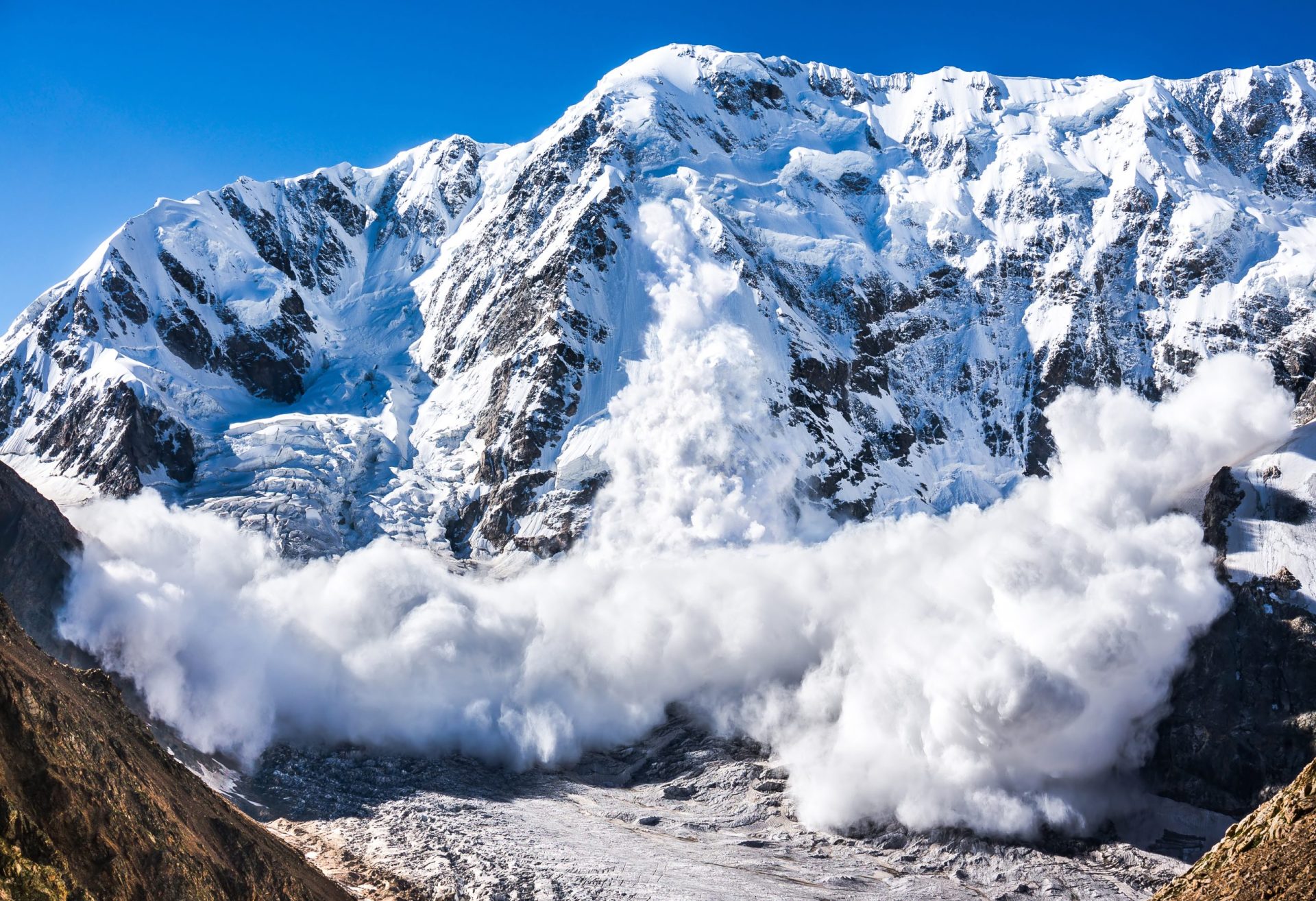
Imagine a north-facing slope in mid-February. The snow is deep, the air bitterly cold, and every few minutes you hear the distant whump of a settling slab. A new 24-year satellite study of the Altai Mountains in East Kazakhstan confirms what those sounds already whisper to backcountry skiers: avalanche danger starts and ends with snow depth and temperature. In fact, the researchers found that the amount of snow on the ground explains almost 90% of the likelihood that a slope will cut loose, and adding air temperature further tightens the fit.
Aspect comes next in the chain. North and west-facing slopes hold on to that cold, fat snowpack longer than their sun-blasted south-facing counterparts, so they show the highest release probabilities. The sun’s role is less direct; it speeds melting and crust formation, which can lock things up or, at the wrong moment, make a slick bed surface. Albedo (the brightness of the snow to incoming sunlight) turned out to be a bit player. Once depth and temperature were in the model, changes in surface reflectivity barely moved the needle.
To reach these conclusions, the team combined over twenty years of MODIS satellite snow data with ERA5-Land temperature records, satellite-based precipitation estimates, and high-resolution topography. They then checked their probability map against a catalog of known avalanche paths and nailed an 86% hit rate.
What does that mean when you are scoping lines for the next storm cycle? First, trust your depth cues: cornices, drift pillows, and that gut feeling of “too much, too fast” remain the best indicators of potential issues. Second, remember that a frigid week is a double-edged sword–perfect powder comes with perfect slab-building conditions. Third, treat shady north-west aspects with extra suspicion after any storm that drops more than a foot of snow while temperatures remain below about 15 °F. The study’s math says those slopes are the statistical bullseye.
Ultimately, the work serves as a reminder that snow science still has blind spots. Wind loading, buried crusts, and the micro-layers we probe with a crystal card are outside the range of what satellites can see. But for a regional gut-check before you even lace up your boots, depth and cold are king. If your morning tour plan ignores either one, you are gambling against the odds, and the odds are now quantified.