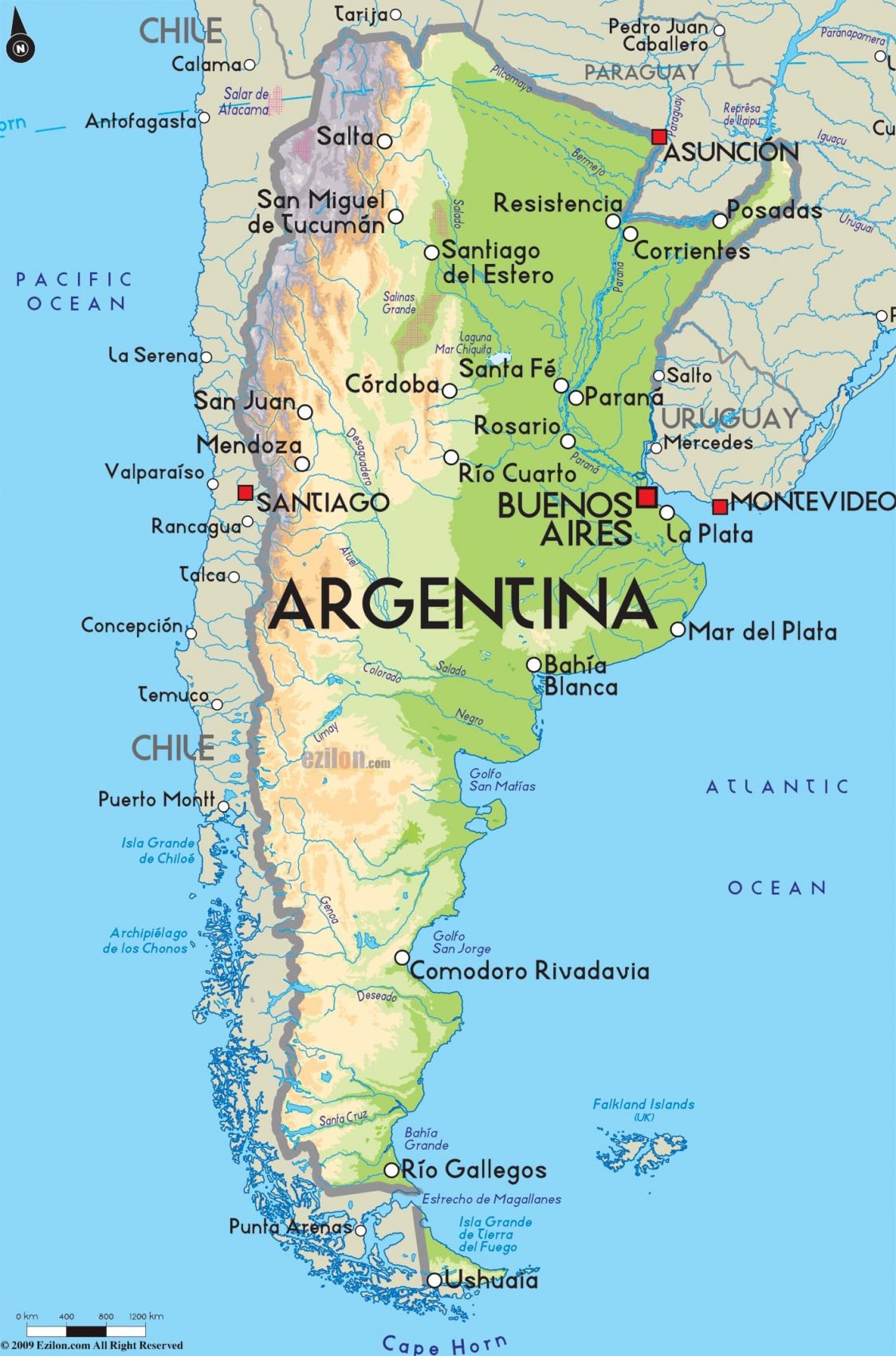
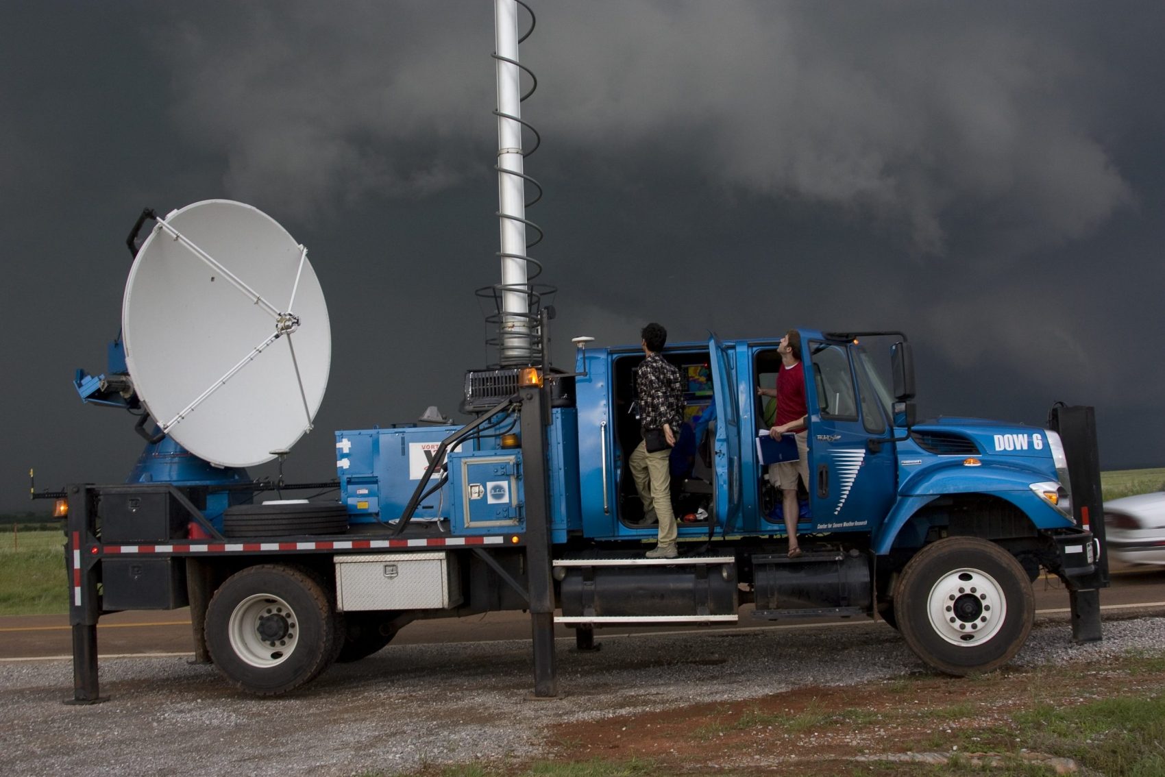
Córdoba Province in Argentina is home to the most severe thunderstorms ever recorded. Most of these intense storms last for a very short period of time but can be deadly. Little was actually known about these storms until 160 atmospheric scientists started paying attention in 2018. Using Doppler on Wheels (DOW) the scientists from the US, Argentina, and Brazil studied the storm patterns to better understand how they formed. They hoped to implement a warning system, as the United States has in place, once the storms were understood and could be predicted.
- Related: ‘Megaflashes’ | New World Records Set for Longest Lightning Flashes in Brazil and Argentina

How Thunderstorms Form
While storms can differ in intensity, all thunderstorms form in the same fundamental way. The three key ingredients are unstable air, moisture, and uplift. The unstable air typically needs to be warm as it is easier for warm air to rise. The moisture is needed to create the clouds and then rain or hail. Finally, the uplift can come from a breeze off the ocean, mountains, or fronts.
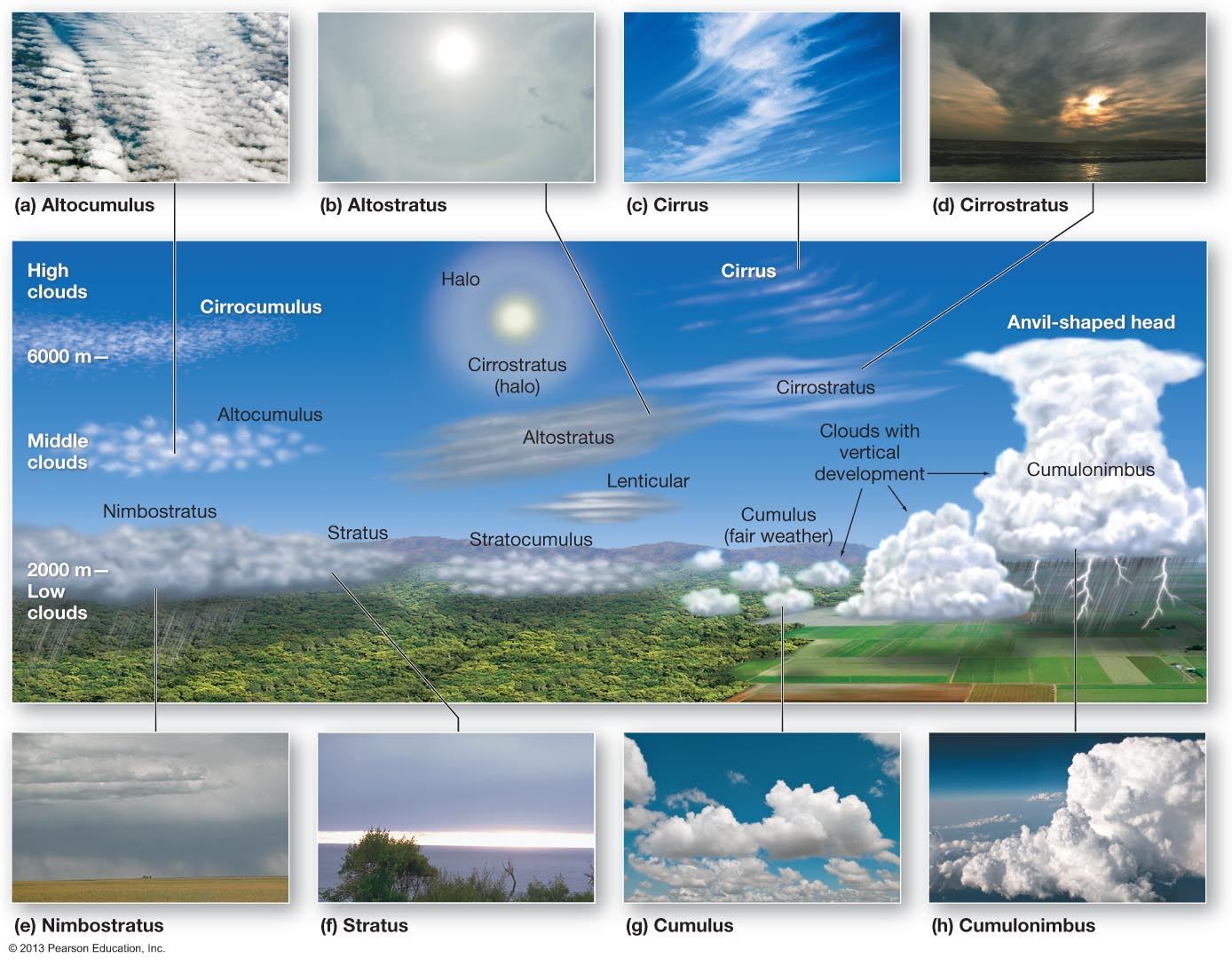
As warm moist air begins to rise, cumulonimbus clouds are formed. These towering clouds form due to the moisture they pull upwards. As the cloud gains water mass, droplets begin to fall creating friction between the particles ascending and descending. This friction creates static electricity which builds until it is released in the form of lightning.
Córdoba’s Monster Storms
Moisture drifts into Argentina from the Pacific Ocean to the west. The moisture descends over the Andes Mountains where it meets hot air over the plains in Córdoba Province. Thus begins the makings of a typical thunderstorm.
What makes the Córdoba thunderstorms so fearsome is that they become supercharged. As Cumulonimbus clouds grow they reach the barrier of the troposphere and the stratosphere, known as the tropopause. Sometimes the storm clouds can force their way into the stratosphere where they can gain energy and mushroom into a monster storm. These storm clouds can hold millions of tons of water.
When the storms build as much energy as they can hold it is released in a rushing downdraft of cold air and precipitation. The mega-storms produce deadly hail, damaging winds, torrential downpours, and lightning that can start wildfires. Flash flooding is a common occurrence during and just after these storms, which can be deadly if people are caught off guard.
Climate Change and the Future
The purpose of studying the storms in Córdoba Province was to accurately predict them and to create an early warning system in order to save lives. Meteorologists are now able to somewhat predict these storms, however, they are still complex and unpredictable by nature. More data is collected each year to improve prediction models. One trend that is noticeable is more intense storms due to a warmer atmosphere. Warm air holds more energy and more water–two key ingredients for a thunderstorm.
The powerful storms of Argentina, like the ones in the central United States, will become more unpredictable over time. A warmer climate will fuel more of these mega-storms that have enough energy to break into the stratosphere. For now, all scientists can do is chase storms to collect more data and improve their existing weather models in an attempt to save lives.
