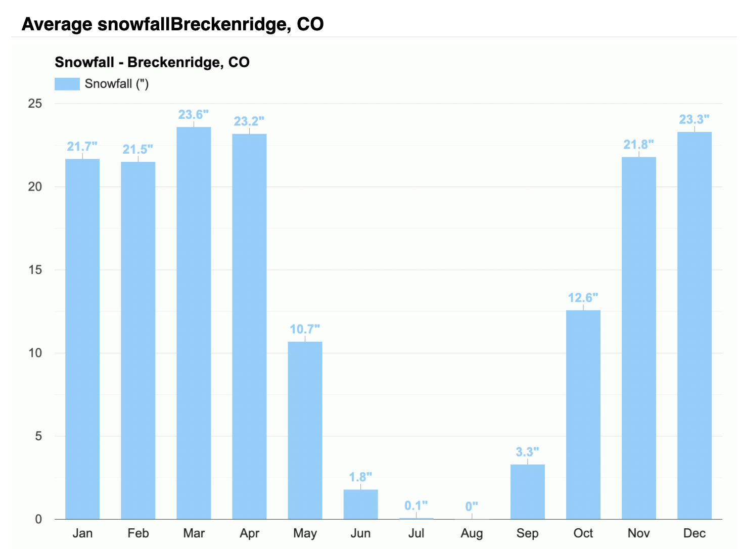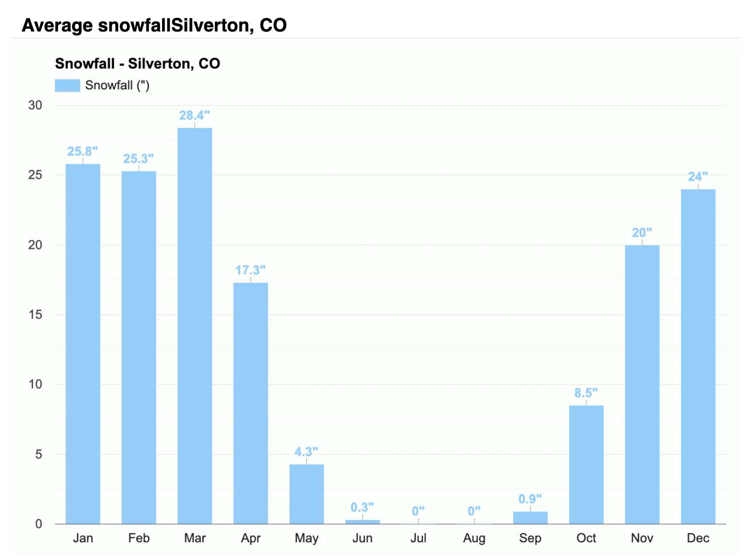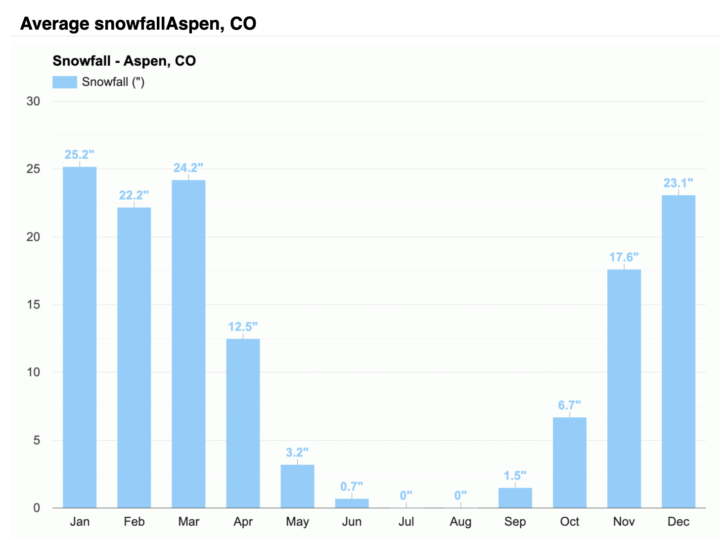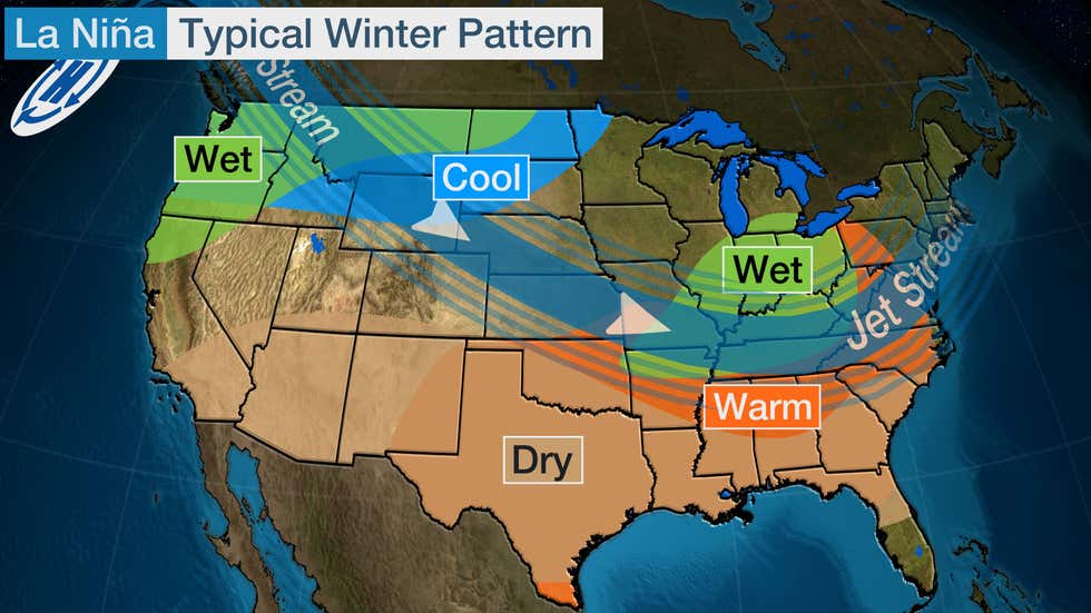
Depending on where you have been able to ski this season in Colorado, you probably saw two very different snowpacks. La Niña winters are typically hard to predict snowfall patterns in Colorado. The overall trend is that La Niña patterns slightly favor the northern mountains while the southern mountains see slightly warmer and less precipitation than average. Again, this is an overall trend, and both parts of the state have seen La Niña events that have the exact opposite outcome. Above are the typical storm track and precipitation anomalies from past La Niña events.
While that is the typical pattern, this season has been different from the mean. In the early and middle parts of the season, the southern part of the state, including the upper Rio Grande and Arkansas basins, saw higher than average precipitation. Vice versa, the central and northern mountains were seeing less than average snowfall.
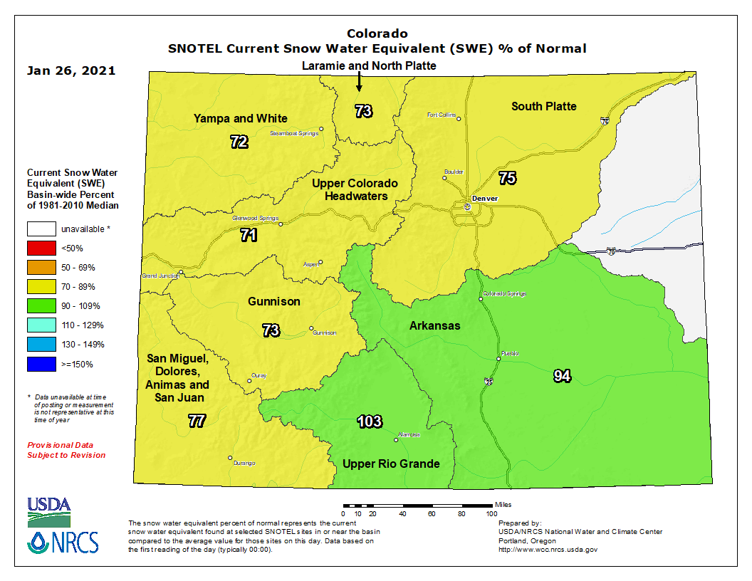
Since this slower than average start to the season, February saw a much-needed North-West flow pattern that helped boost the central and northern snowpacks. North-West flow favors particular mountains, but the northern and central mountains are better off with these patterns than southern mountains. While this shot of storms was beneficial, most of the state is below average snowfall, especially the western side.
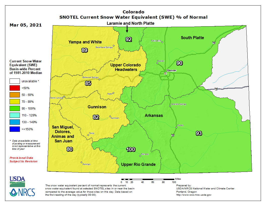
The good news is that there is still time to catch up to normal numbers. March is typically a great month for snow in Colorado, with some mountains seeing their most snow (on average) falling.
We just have to keep doing our snow dances and hope more snow comes!
