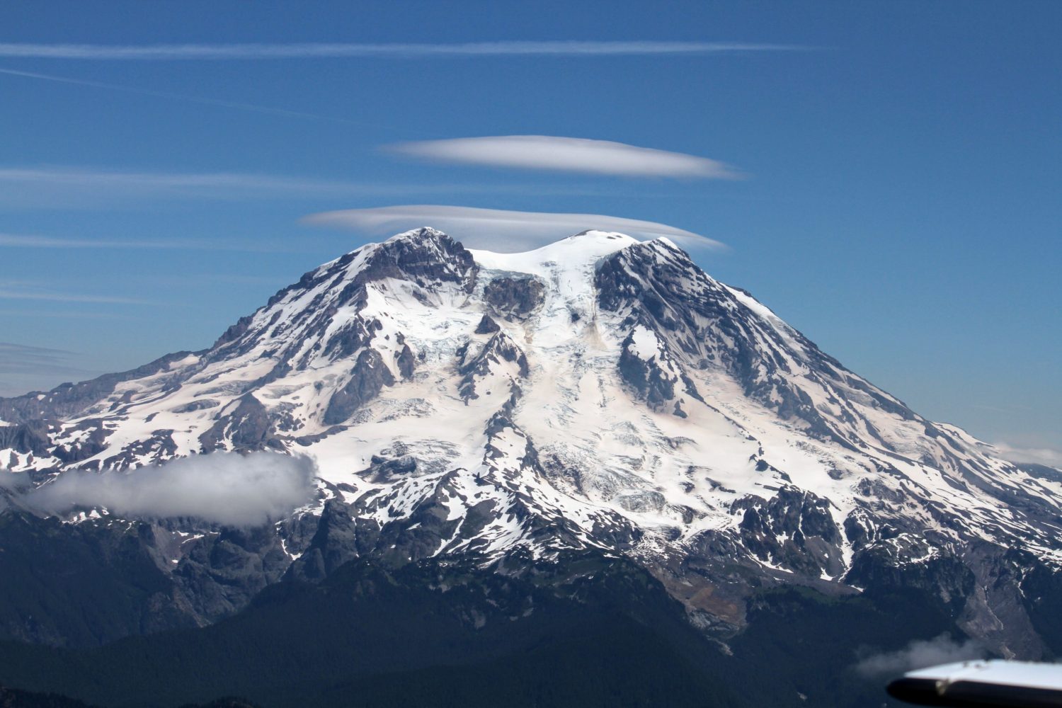
July is the high season for Mount Rainier National Park. The weather is much more stable, wild flowers are blooming, waterfalls are roaring and the snow bridges over the crevasses are still holding. It’s not surprising, that these blue bird days attract hikers and climbers from all over the world.
If you want to climb this gorgeous mountain, this is still great time to do that.
First you need to decide which route to the summit you’re going to take, depending on your climbing skills. The easiest ones are DC (Disappointment Cleaver) and Emmons-Winthrop routes. Climbing rangers of Mount Rainier National park as well as guide services (RMI, International Mountain Guides, Alpine Ascent International ) do a lot of work to maintain those routes, installing ladders, fixed lines as well as pickets/anchors.
When you decide on the route, watch for the weather forecast. The most accurate forecast can be found here.
Looks like the weather is nice for this coming week, so it’s time to pack 🙂
The easiest way is to fly to Seattle, rent a car and then go to Mount Rainier National Park. If you don’t have an online reservation for wilderness permit, then you can try to get a walk-in permit to one of the high camps. There are two ranger stations where you can get permit: Longmire (open 7:30am – 5pm ) and Paradise (open 7am – 4pm).
If chosen DC route, you can camp in either Camp Muir (10 188), Ingraham Flats (~11 100 feet) or Anvil Rock which is slightly lower than Camp Muir.
Don’t forget to pay climbing fee in advance and make sure you have your tracking number at hand to show to climbing rangers. More details can be found here.
The Camp Muir is a great place to camp. It has mountain hut and toilets, but this camp is the most crowded of all those three. Make sure you anchor your tent well. We saw a few tents almost flying into crevasses while their owners were on the way to the summit.

First easy section of the route is crossing Cowlitz glacier and getting up to Cathedral Gap, a rocky formation dividing two glaciers – Cowlitz and Ingraham. The route on glaciers is well found, although it may be tricky to navigate on the rock, especially when it’s dark. So, watch for wands placed by guide service to find the route.


After you get over Cathedral Gap, you will be crossing Ingraham glacier. When you pass the other high camp – Ingraham Flats – watch for rock fall and ice fall, as you will be traversing the “Ice Box” and “Bowling Alley”. These two sections should be crossed as quickly as possible to minimize the exposure to rock and ice falls.


After you passed Ingraham Glacier, you’re at the bottom of Disappointment Cleaver, but it won’t disappoint you. The lower section is rocky and steep, so we found it’s a bit easier to scramble when you take off your crampons. The upper part is snow/ice, so you will need to put on your crampons before you proceed to that section.

Once at the top of the Cleaver, the route traverses to Emmons glacier and then there will be ~300 feet drop in the altitude to 12,400 feet, before the route will start climbing up again.


As glacier is changing and snow bridges are melting and crevasses are widening, guides do a lot of work to make the route as safer as possible. Recently it was rerouted to avoid the area of ice fall.
Compare to the previous DC route, the current one merges with Emmons Glacier route for the final section and goes directly to the true summit, no need to traverse the crater. But be careful, when descending to make sure you’re not mistaking your route, otherwise you can end up in Camp Schurman, instead of Camp Muir.

Up-to-date information about current route conditions can be found here.
