Two ingredients are necessary for snow: moisture and lift. Vertical lift cools the air, condensing the moisture and forming precipitation. Moisture provides that necessary moisture for snow or rain.
A special phenomenon known as lake effect provides abundant amounts of both necessary ingredients, leading to huge snow events.
Lake effect revolves around the critical concept of specific thermal capacity, essentially how easily materials adjust to the temperature. Water has a high heat capacity, meaning it stays relatively warm when it’s cold out and relatively cold when it’s warm out. Soil and land, on the other hand, get cold when the air temperature is cold and gets hot when it’s hot out.
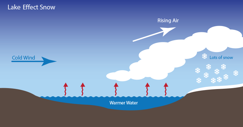
In the wintertime, when an intrusion of particularly cold polar air passes over a lake region, the relatively warmer lake heats the air immediately above it. This both warms the air and saturates it with extra moisture from evaporation. Since this warm air is positively buoyant compared to its colder atmospheric surroundings, it begins to rise, which cools the air, condenses the moisture, and triggers snowfall!

The key to the prolific snow events triggered by lake effect snow lies in the stationary position of the lake. So long as there is a steady stream of cold air, the lake will never get cold enough or dry enough to stop precipitation.
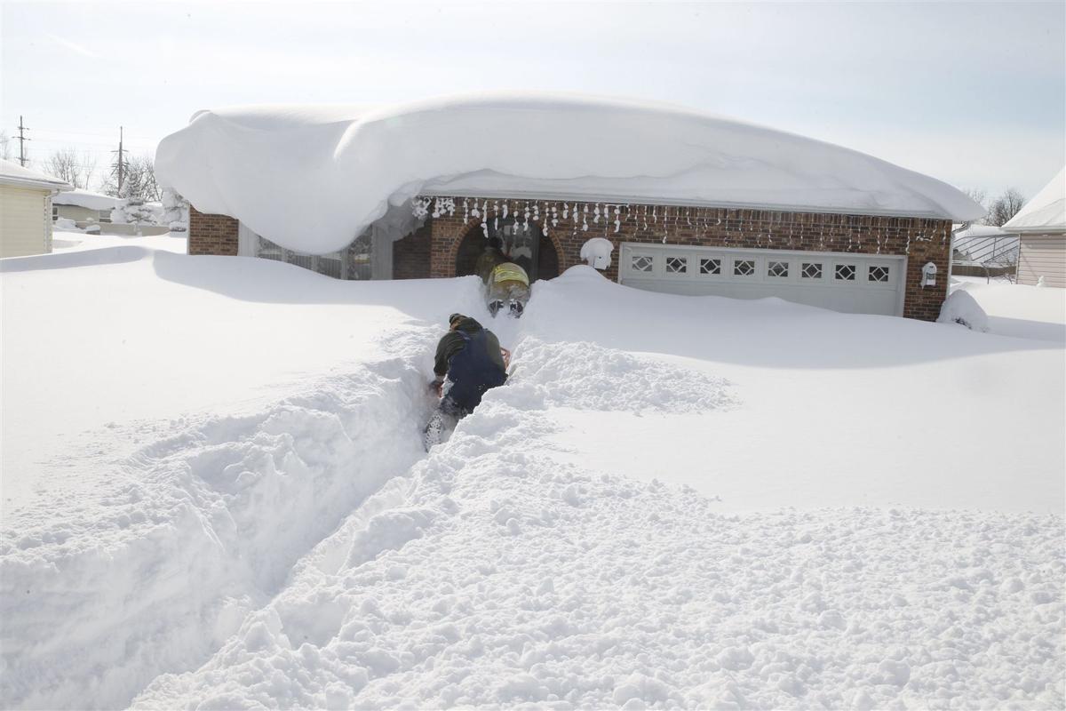
Lake effect snow is most well known from the Great Lakes region of the Northeastern United States, where feet of snow can accumulate in just hours from the prolific snowfall triggered by the lake effect.
