Forecast By SnowBrains Meteorologist Nathan Tarino
Updated November 1st 11 PM MST
Forecast Summary
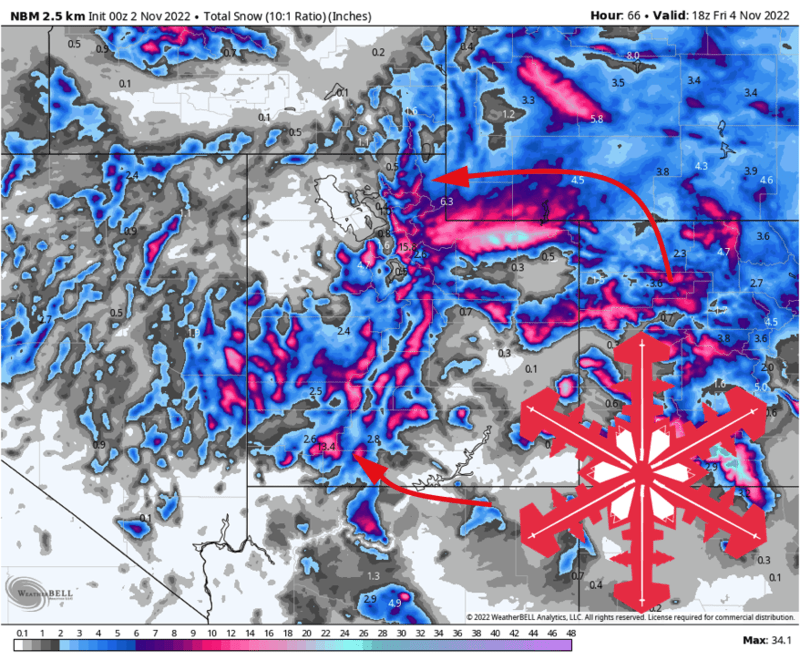
A strong trough will push into Utah early Wednesday morning. Attendant to this disturbance, a surface cold front will push through the state through the day Wednesday. Along the front, a band of heavy snow will blast the higher peaks with a period high snowfall rates, with showery snow lingering behind the front into Thursday afternoon.
Most mountains in the state will have a shot at around a foot of snow, if not more. Favored areas could push 18″ by Thursday evening.
The long range outlook suggests the snow won’t stop falling any time soon. Another storm will affect mostly northern Utah over the weekend, and hints of yet another storm in about a week will keep me occupied this week. With enough snow to ski already on grassy slopes up high, genuinely good preseason skiing looks to continue to be the norm as we head into the middle of November.
Short Term Forecast
Snow will fire up in northern Utah early Wednesday morning. Snow pushes southward across the state through the day Wednesday, with a narrow band of particularly intense snowfall along a southward advancing cold front. Mountain locations will likely see 1-2″+ per hour snowfall rates within this band of frontal precip.
This band presents a forecast challenge, as it’s expected to push through northern Utah fairly quickly on Wednesday morning before slowing considerably somewhere over the middle of Utah. Anywhere that’s underneath the band when it stalls is going to get hammered, while other areas are left comparably less snowy. I expect this to happen in the vicinity of the Cottonwoods/Park City area or perhaps just a touch north, but if not I will get burned abnormally hard.
Snow showers will continue as cooler air settles in behind the front, bringing periods of snow to valley floors through the day Thursday. Snow from this regime will be particularly heavy for resorts like Brian Head and Eagle Point in Southern Utah.
By Thursday evening, expect:
- 10-18″ for the southern Utah resorts (brian head, eagle point)
- 9-16″ for resorts in the Cottonwoods
- 6-10″ at Sundance
- 7-13″ at the Park City Ridgeline resorts
- 4-9″ Northern Utah Resorts (Beaver, Snowbasin, Pow Mow)
A short break from snow on Friday, before another storm rolls into the area Saturday/Sunday. This one looks to impact only northern Utah, but accumulations from I-80 northward could be fairly heavy.
Long Range Looks
The weather pattern looks to remain progressive and good for snow in Utah. With large-scale troughing over the West and ridging over the east, there should be regular shots at stormy weather through at least the middle of November.
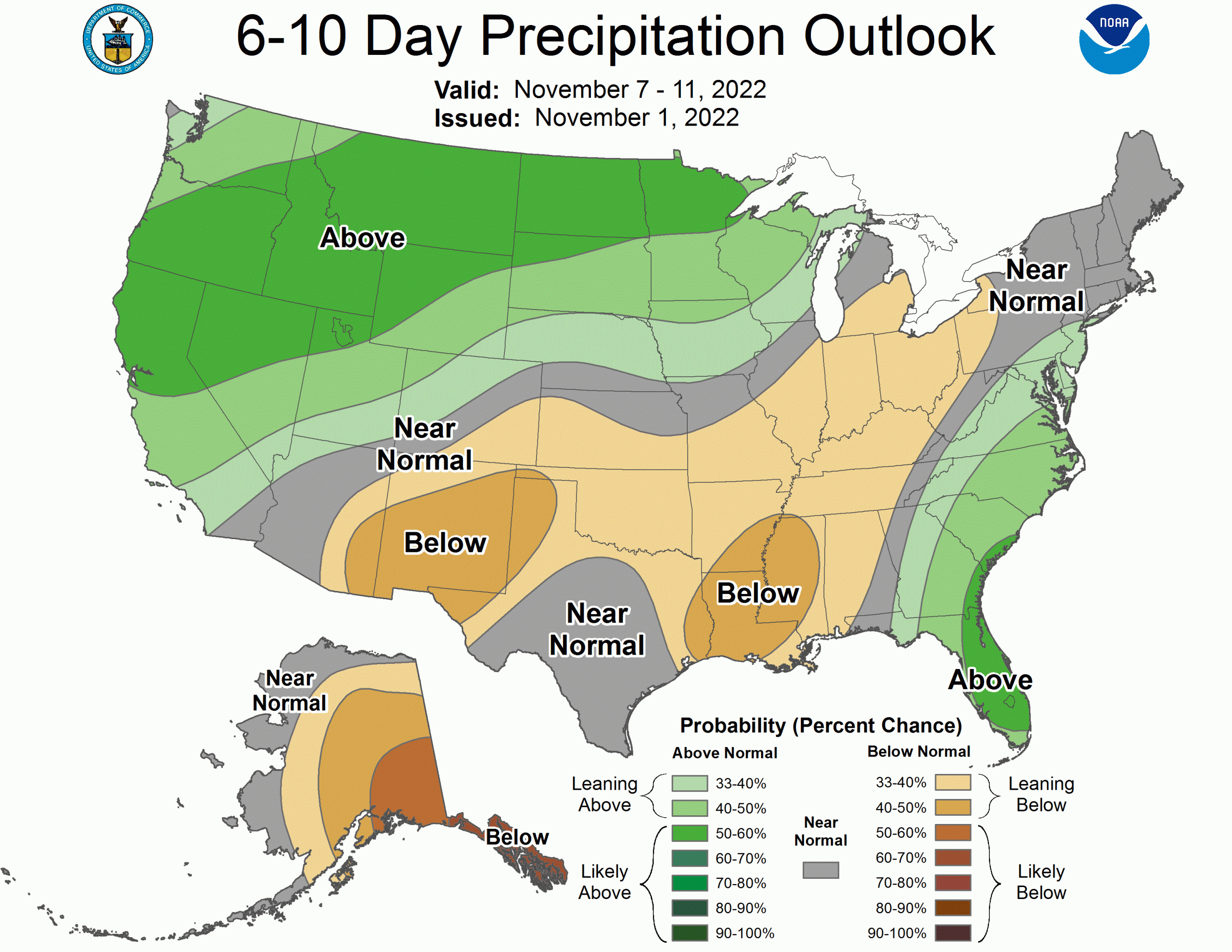
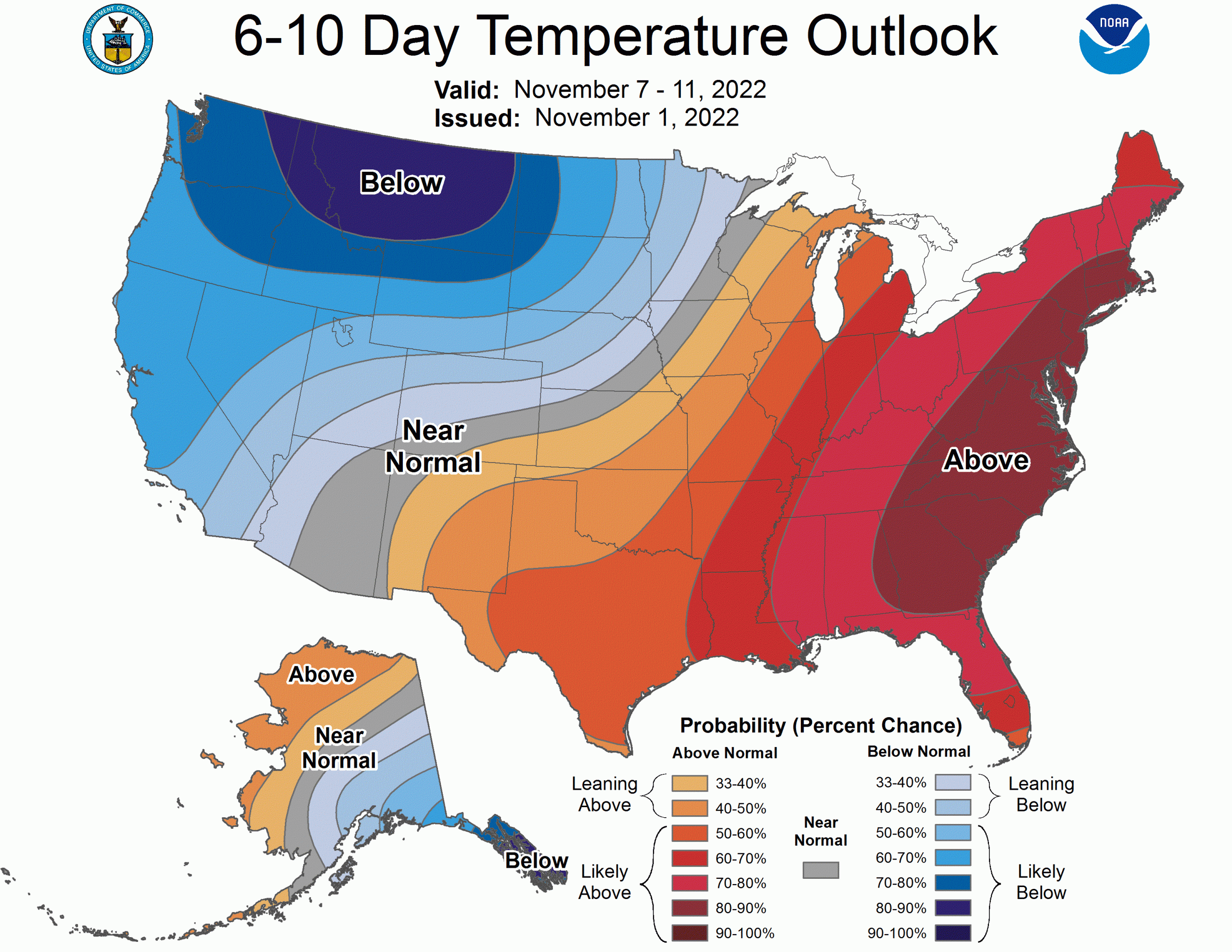
Echoing this sentiment, CPC long range outlooks are biased toward cool and wet weather:
