
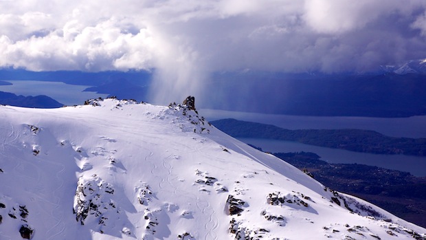
This conditions report is for September 11th, 2013. All photos by Zeb Blais.
Since the end of the big powder cycle in August, Bariloche’s conditions have been very interesting. We just survived 2 days of ravenous rain-to-the-top that shut the mountain down for 3 days straight (landslides and everything). Right at the end of the rainstorm, it got cold and we got about 4-6 inches of new snow on September 10th.
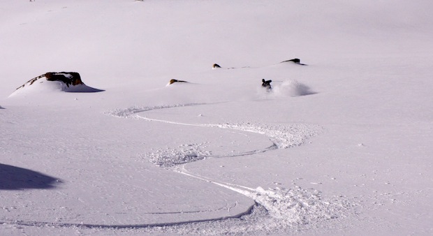
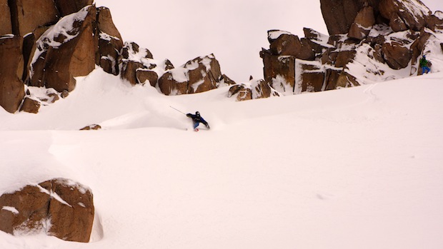
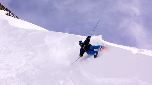
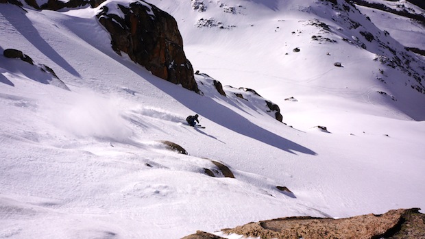
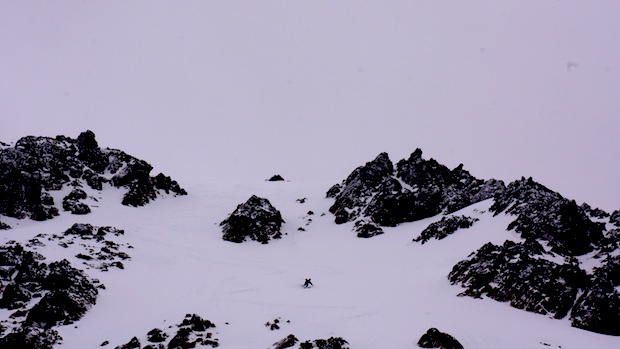
That new snow is sitting right on top of some pretty nasty ice. But, if you find the right spots, it’s not too bad. Wind spines, gullies, and certain faces were serving up handfuls of good turns.
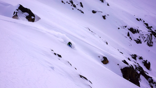
The key was simply not to get too confident anywhere. It certainly wasn’t a huck day. When you made a high speed powder turn that ended up being on ice, it was soul shattering.
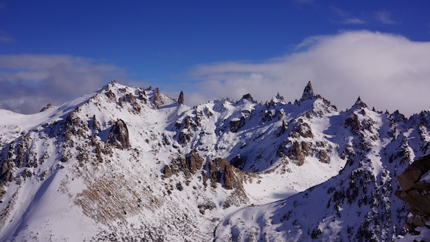
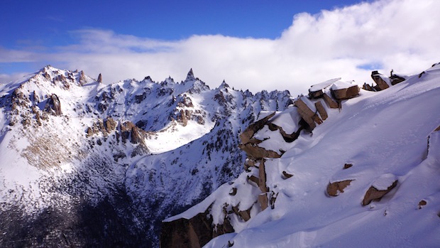
Nubes was good in spots and so was La Laguna.
Before our recent escapade with torrential rain, Bariloche had been doing alright. We’ve had a few mini powder days that delivered rain low and snow high. So far in September, we’ve had 4 mini powder days. You couldn’t charge, but you could ski thin pow and have some fun. On September 6th, we got about a foot of new, wet, nasty snow at the highest elevation, but it wasn’t that fun to ski.
Since August 26th, it’s been warm here in Bariloche with rain low and snow at the highest elevations. It just got cold on September 10th and it looks like it’ll stay cold for a while.
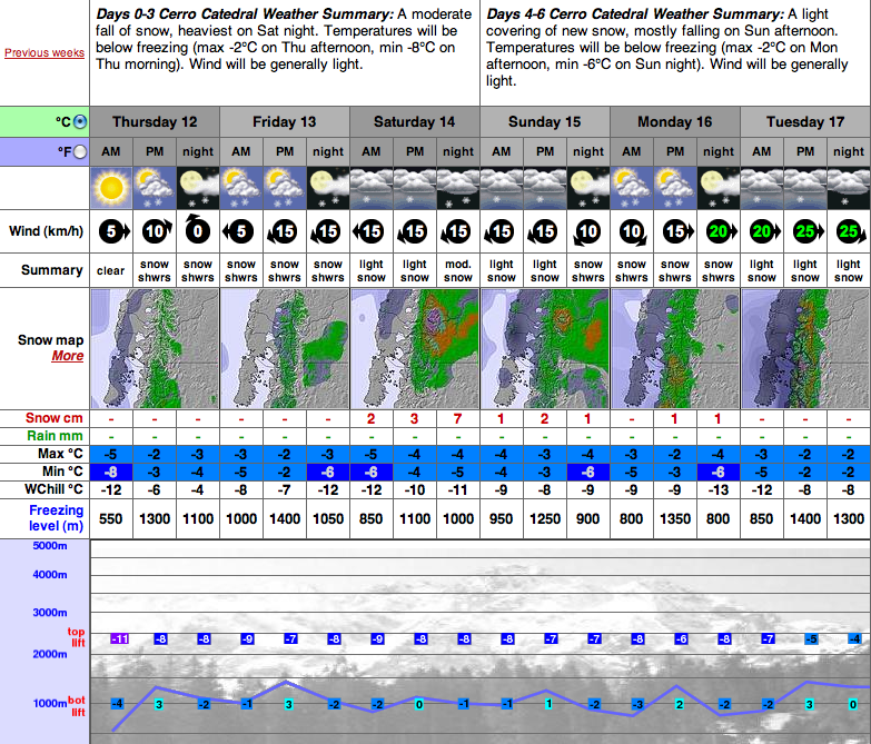
The forecast this week looks good with low temperatures and a decent looking storm for the weekend.
BARILOCHE FORECAST:
More SnowBrains South America Snow Reports & News:


WanT.WinteR.NoW
Looks good to me!
Mmm, dusty on crusty